The Electronic Residency Application Service (ERAS) demands strict adherence to visual standards. Simultaneously, the rise of virtual interviews and digital recruitment marketing has made high-quality video clips an absolute necessity.
Achieving production excellence does not have to drain your annual budget. By understanding how to streamline the production process, healthcare institutions can secure pristine ERAS headshots and compelling video assets highly cost-effectively.
The Strategic Value of Standardized ERAS Visuals
Medical marketing and GME decision-makers often face a dual challenge: ensuring applicants look impeccably professional while simultaneously marketing their own residency programs to top-tier medical talent.
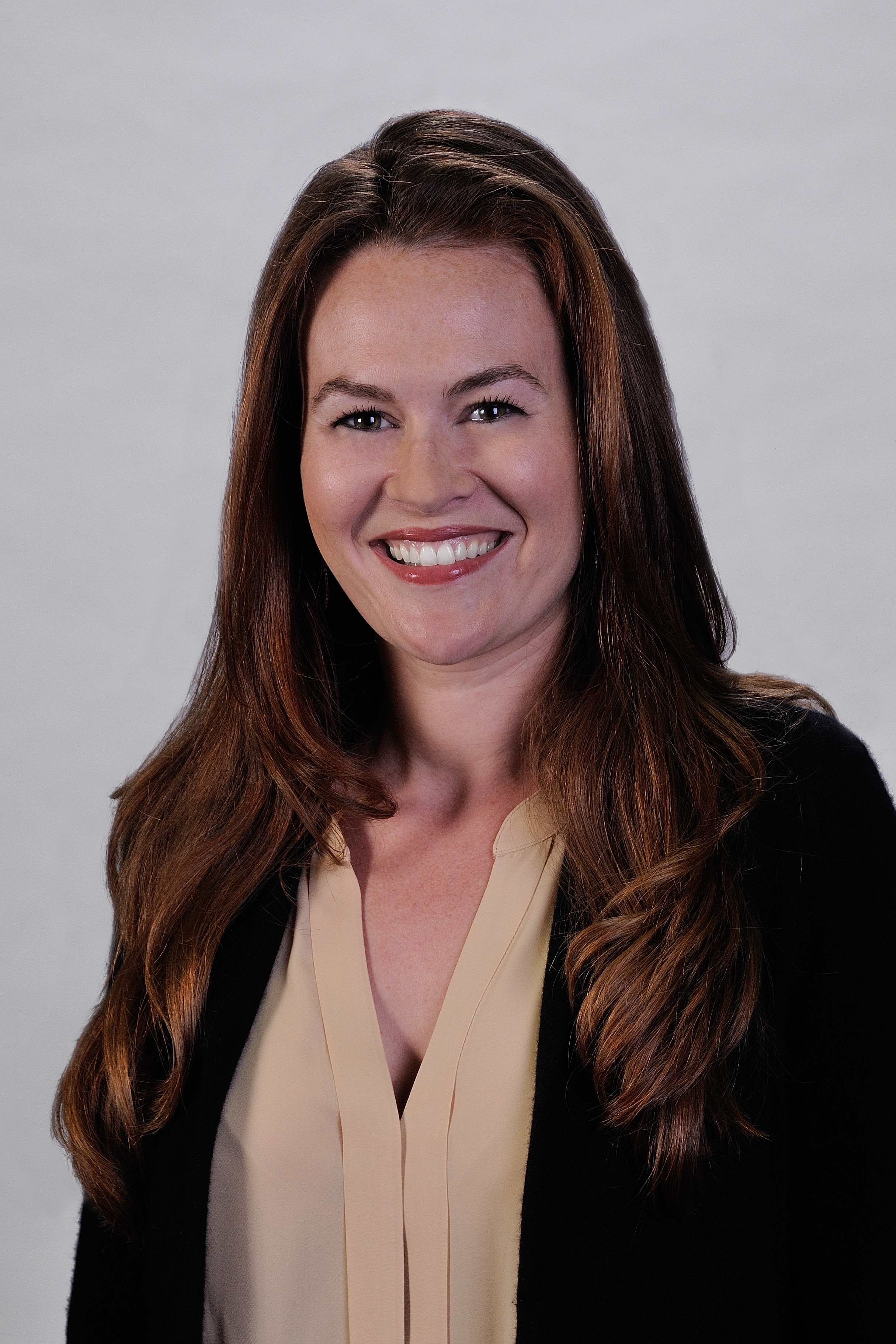
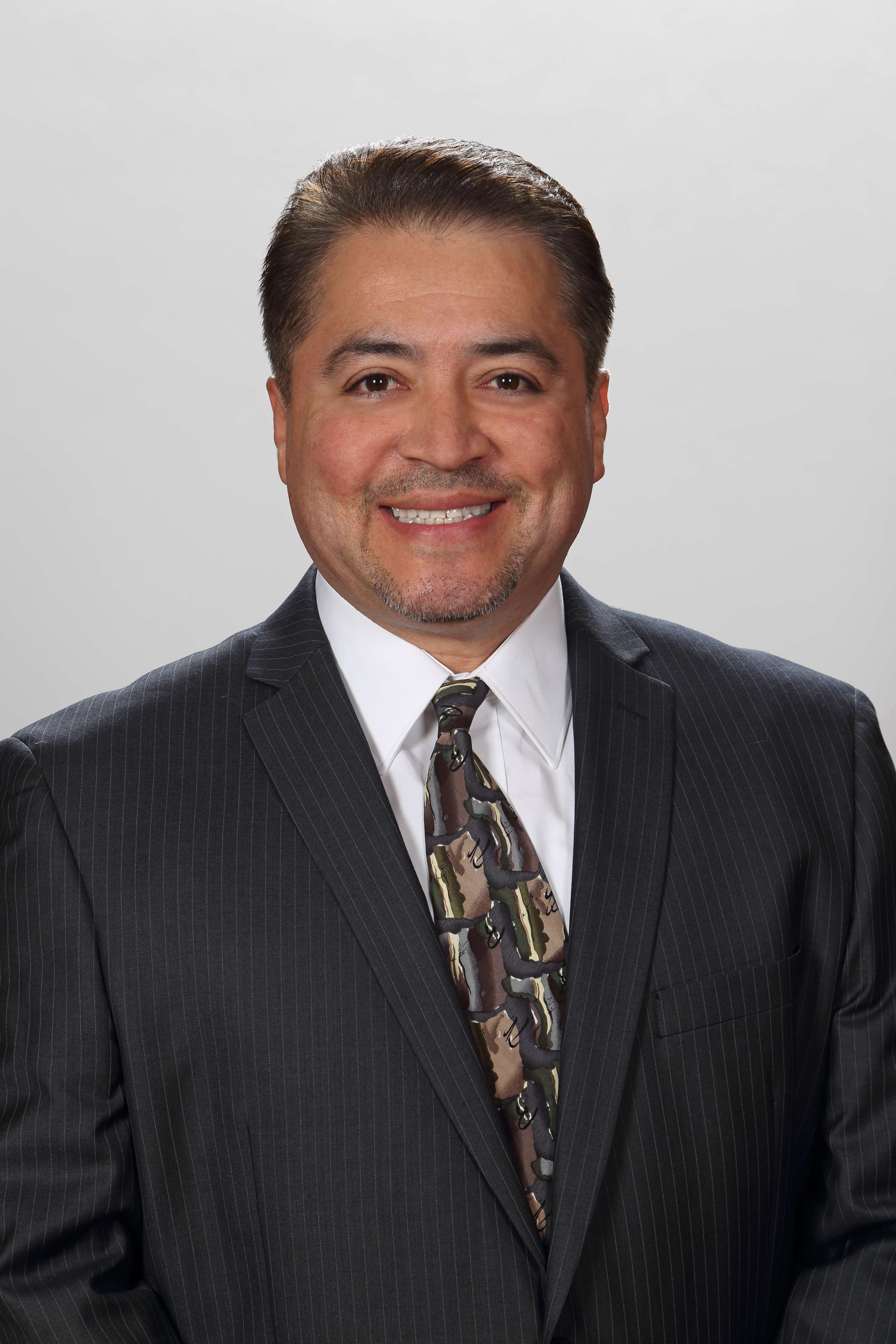
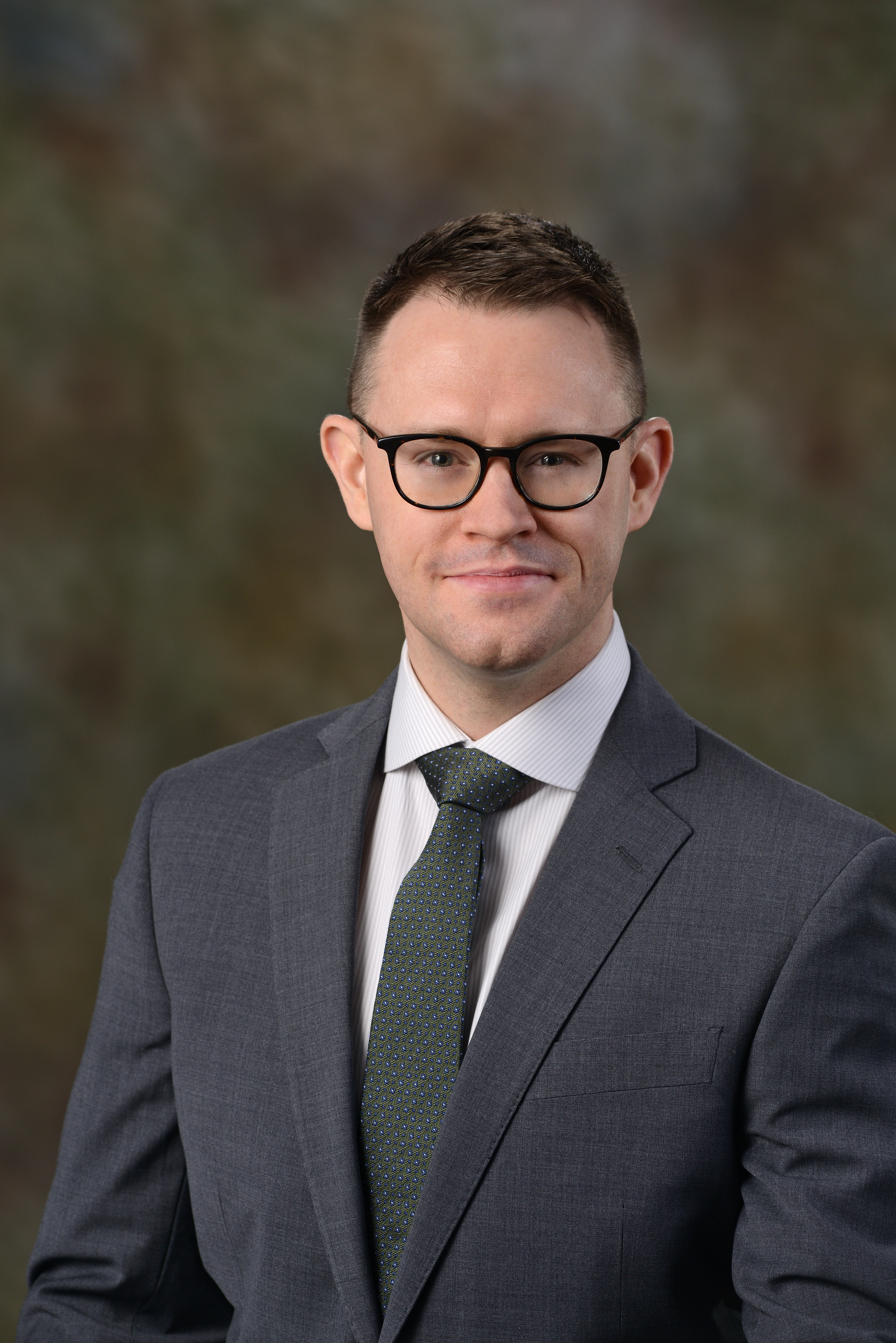
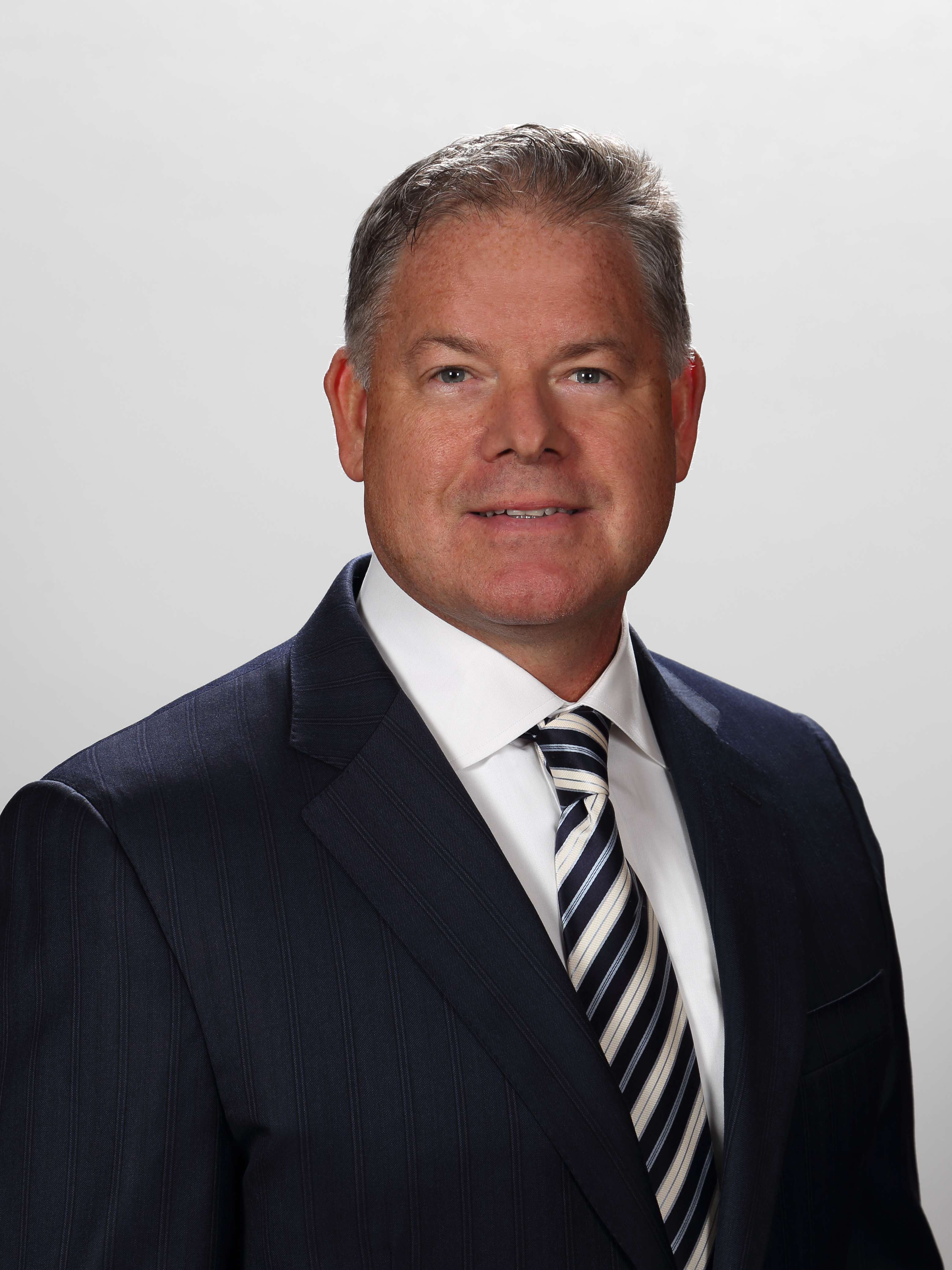
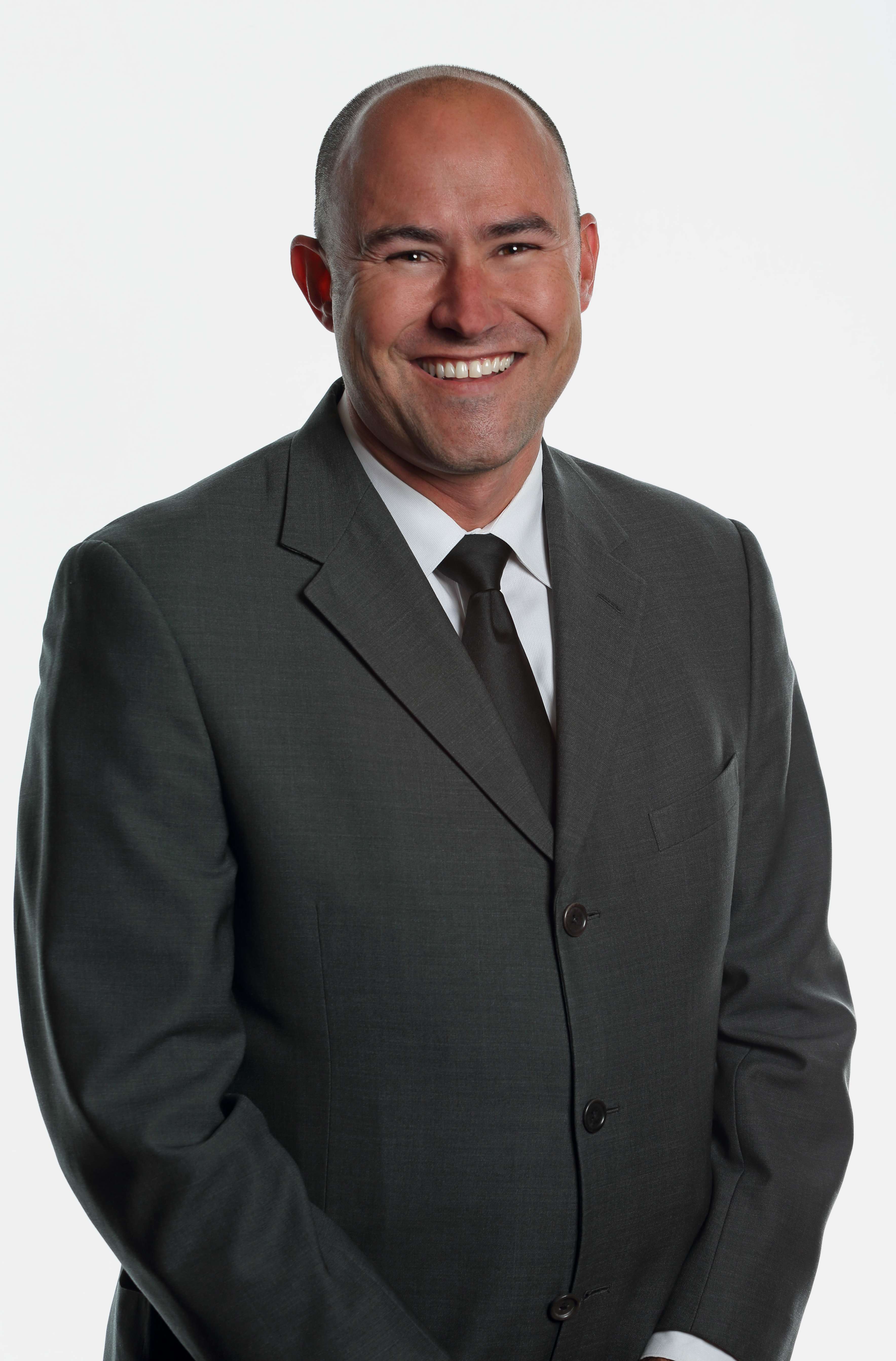
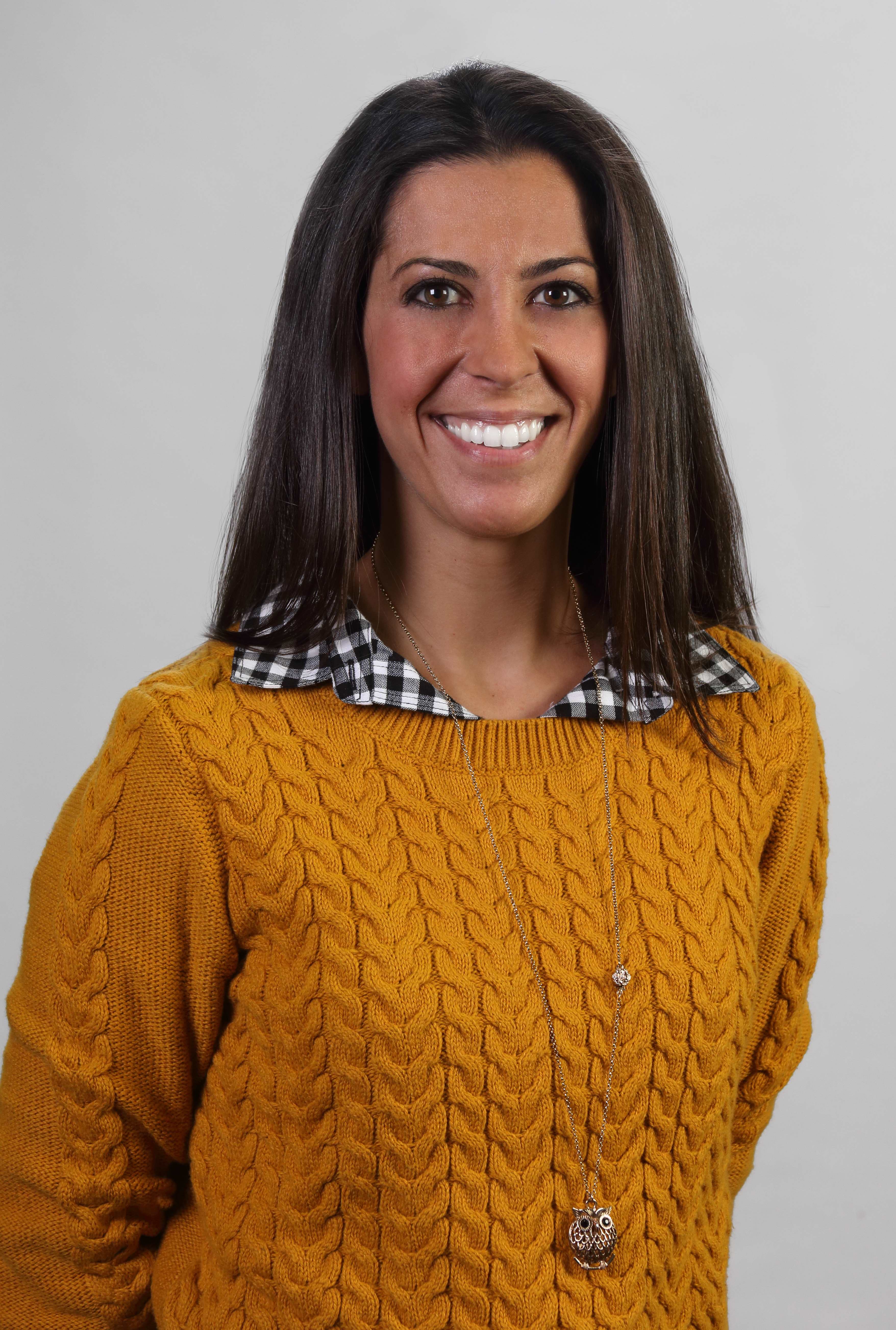
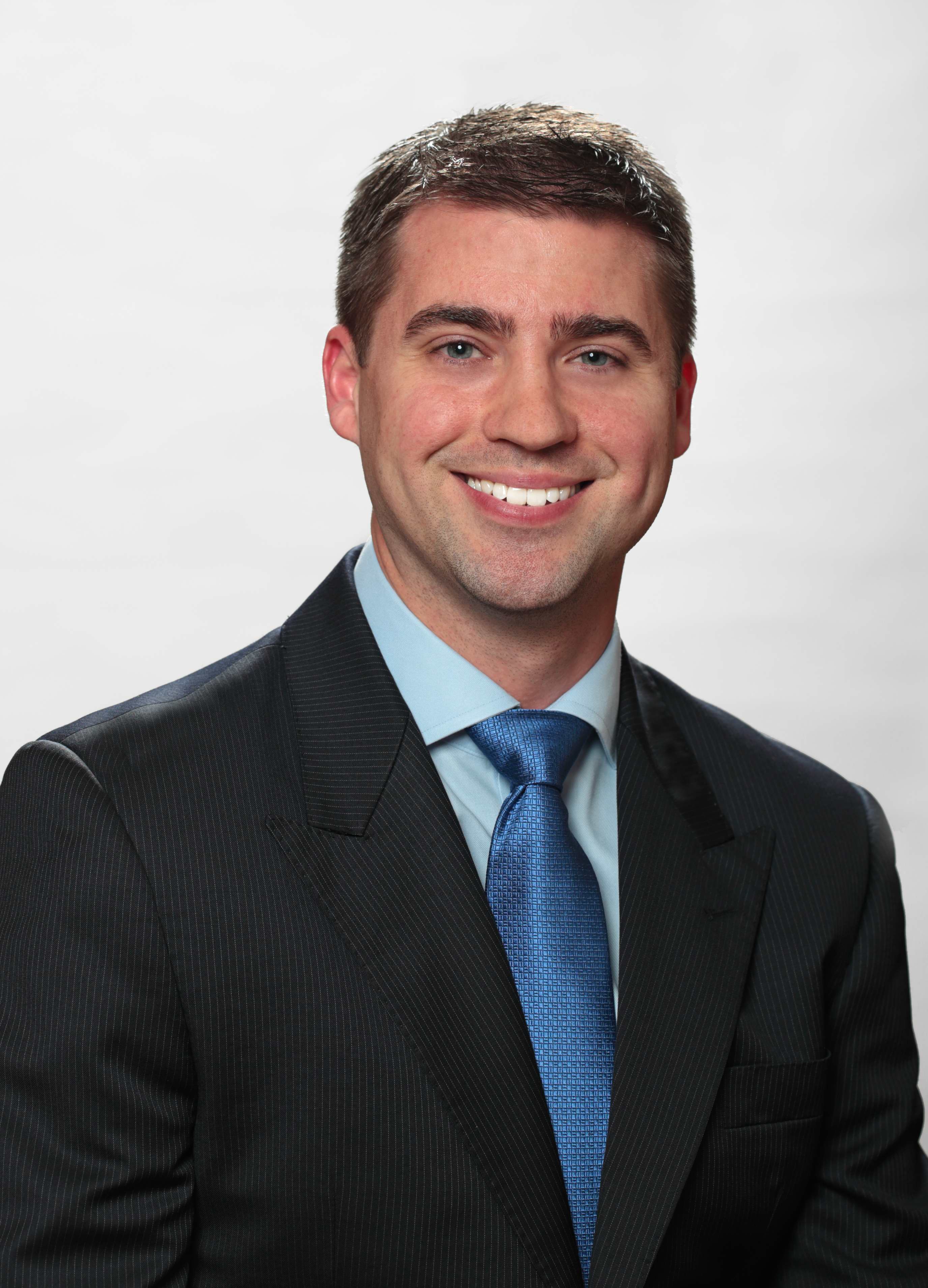
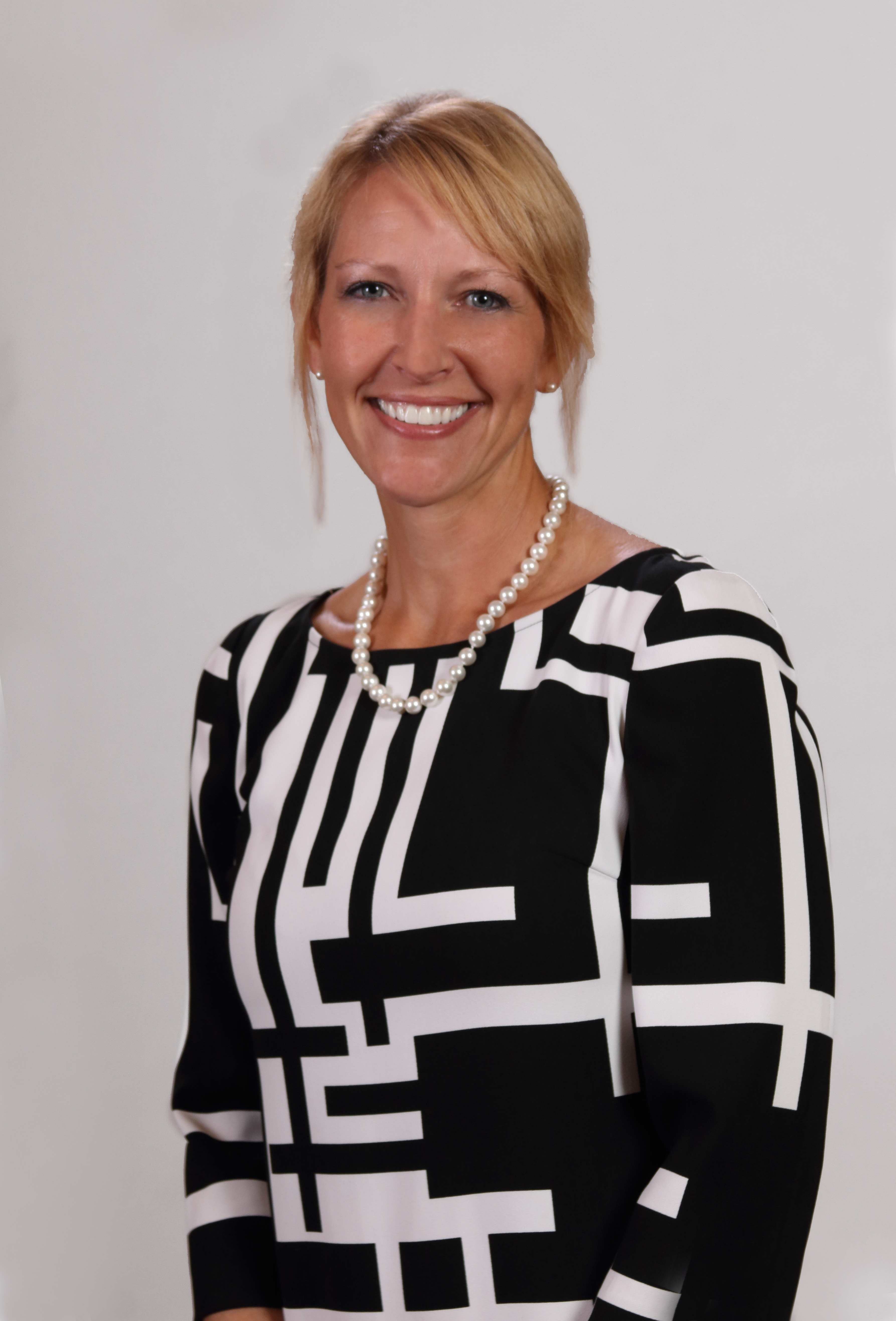
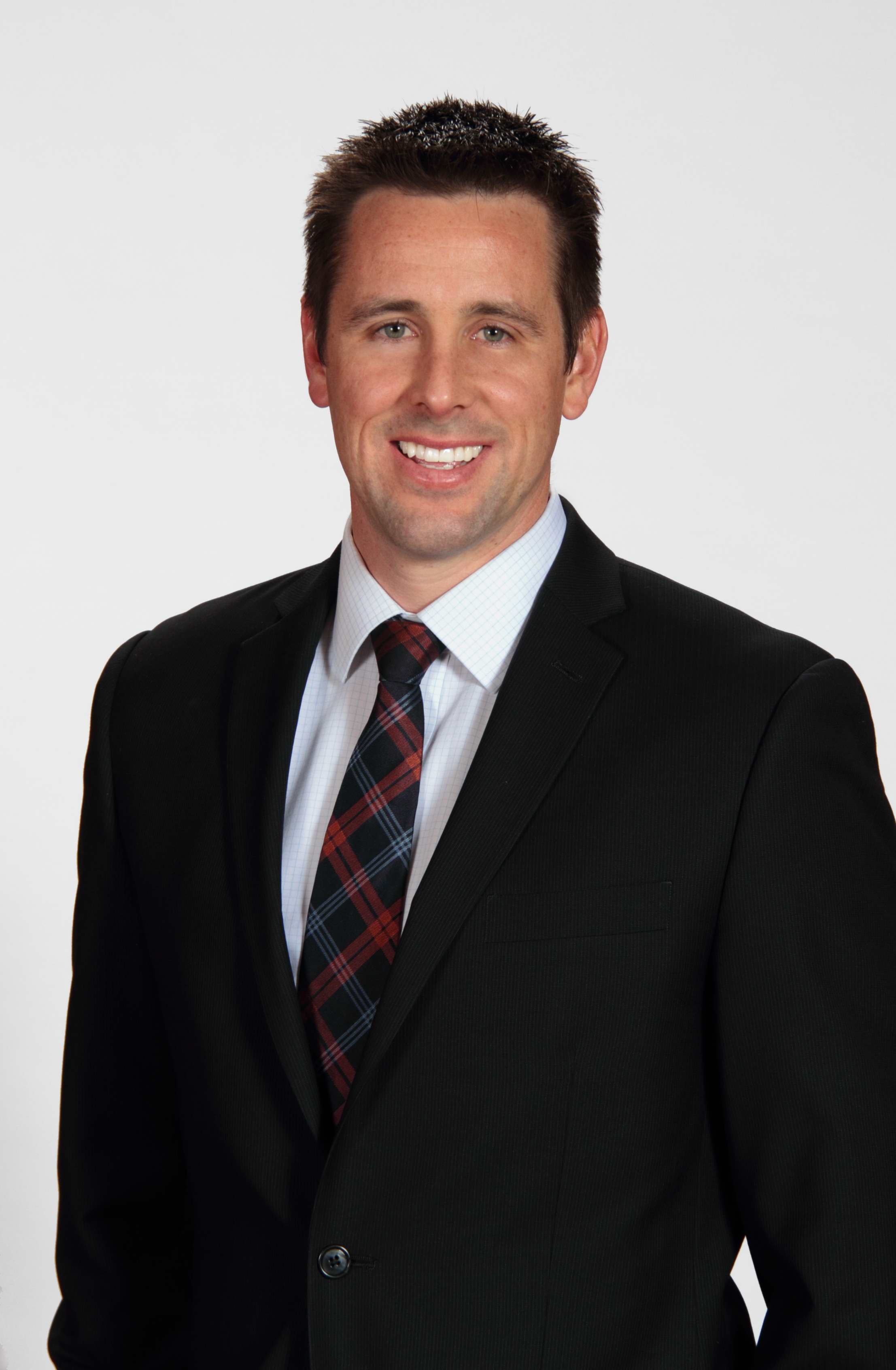
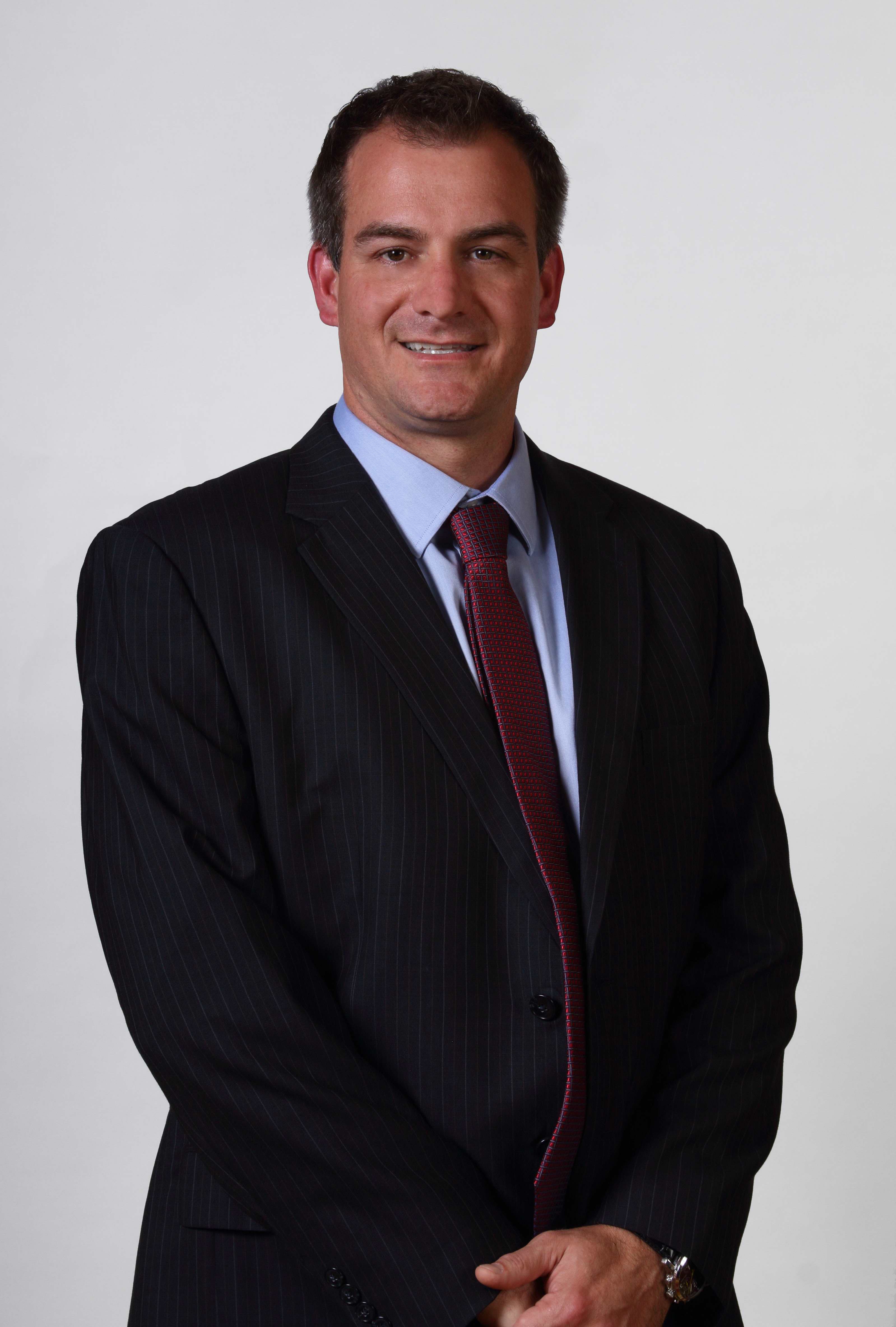
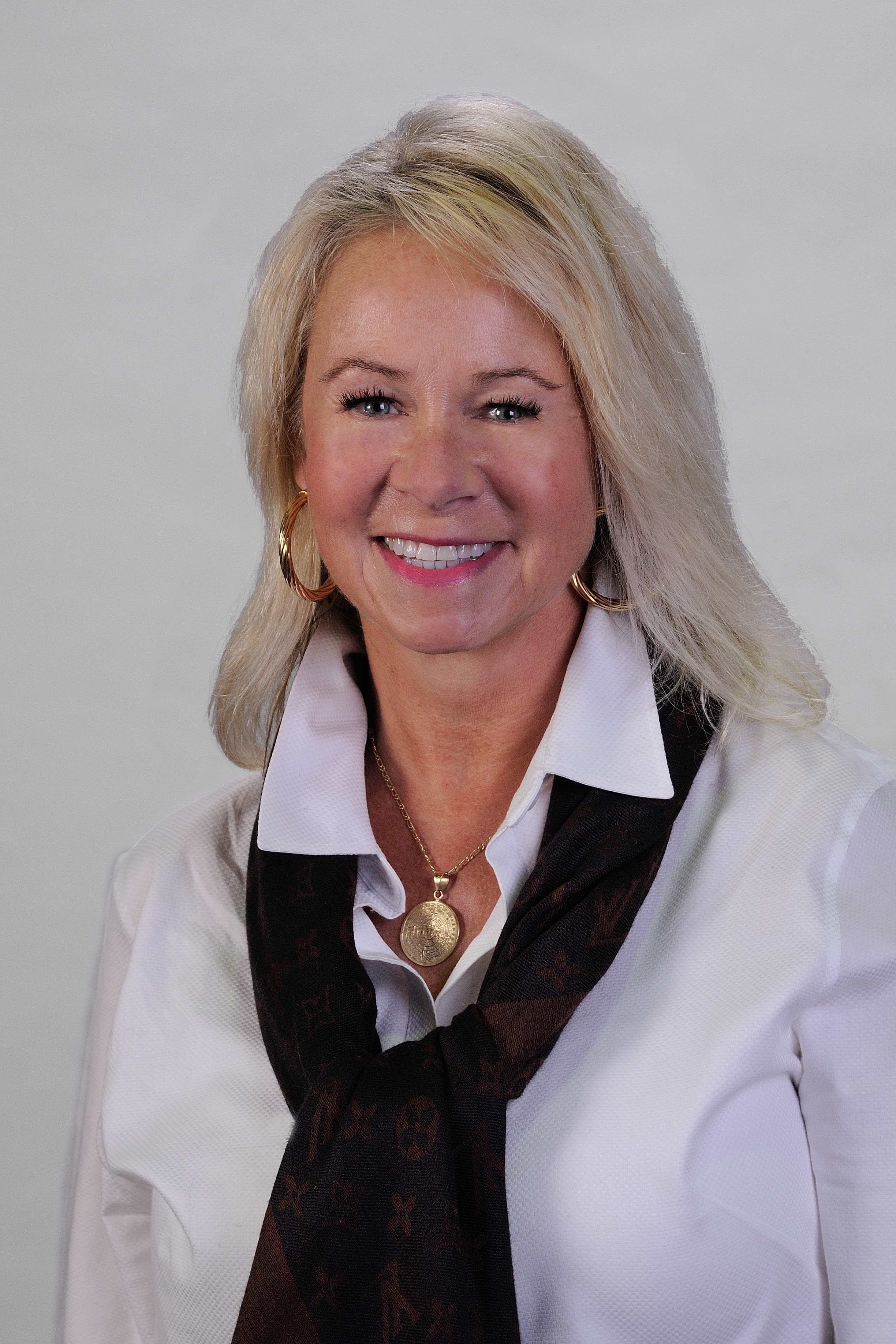
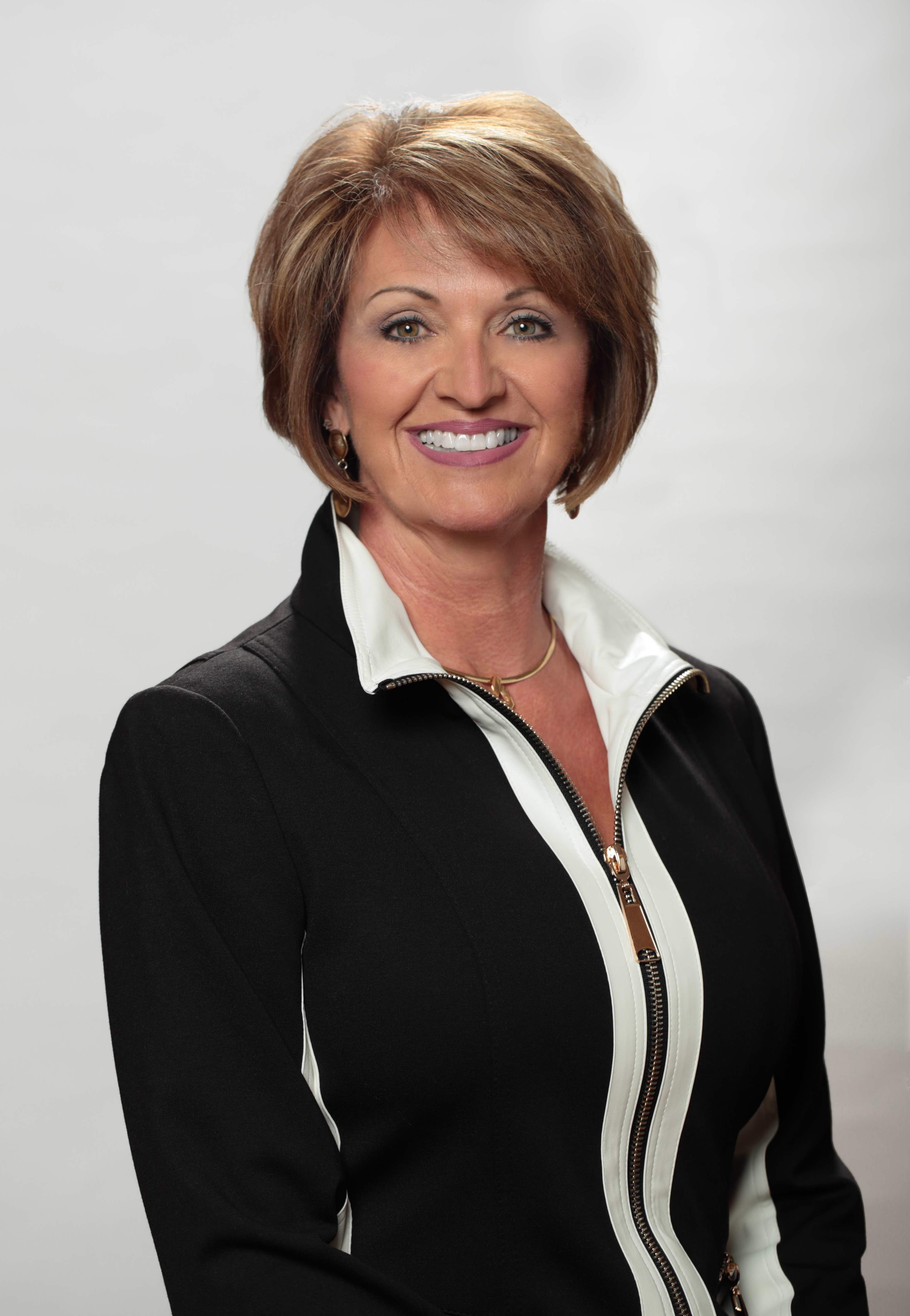
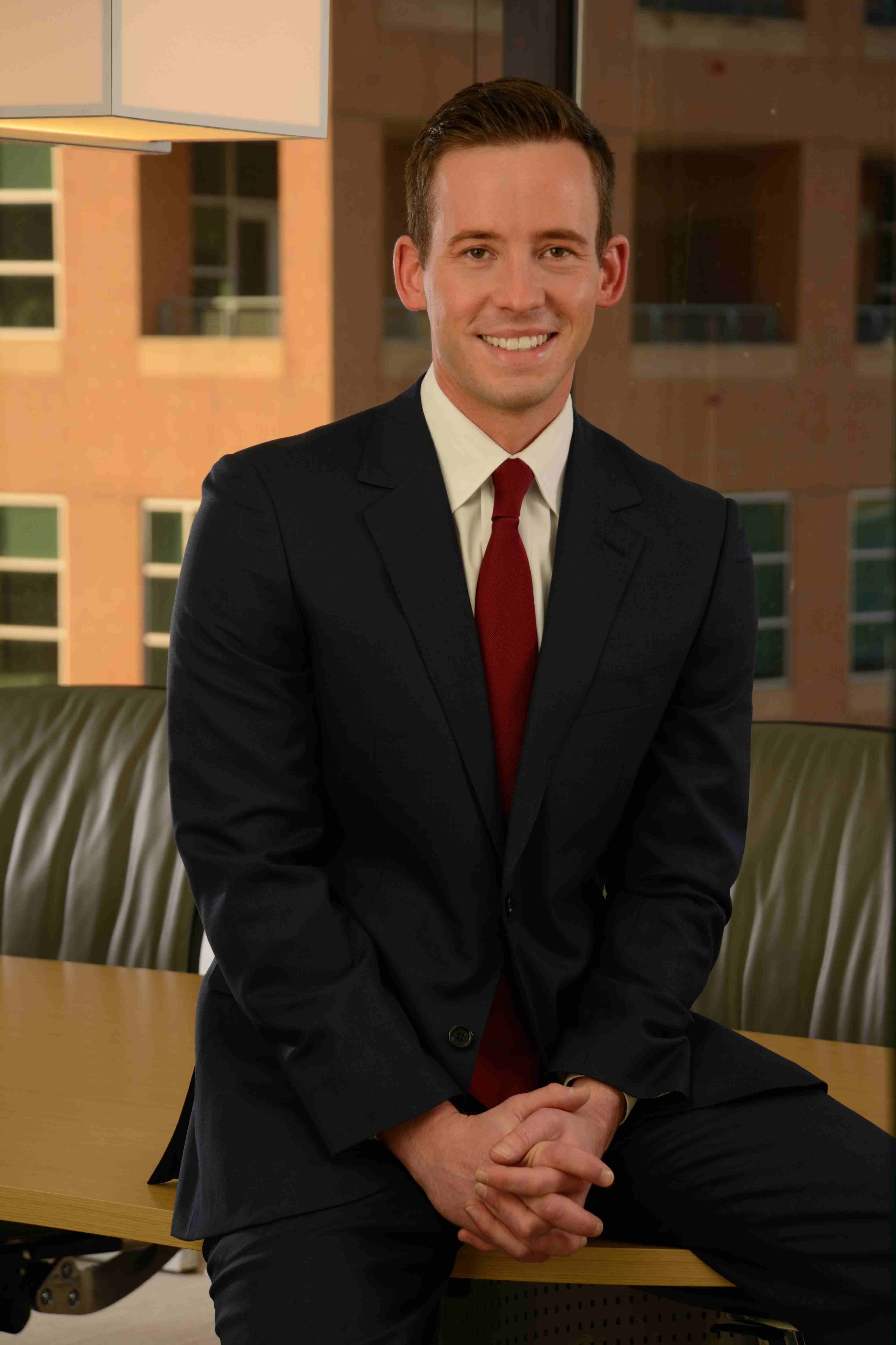
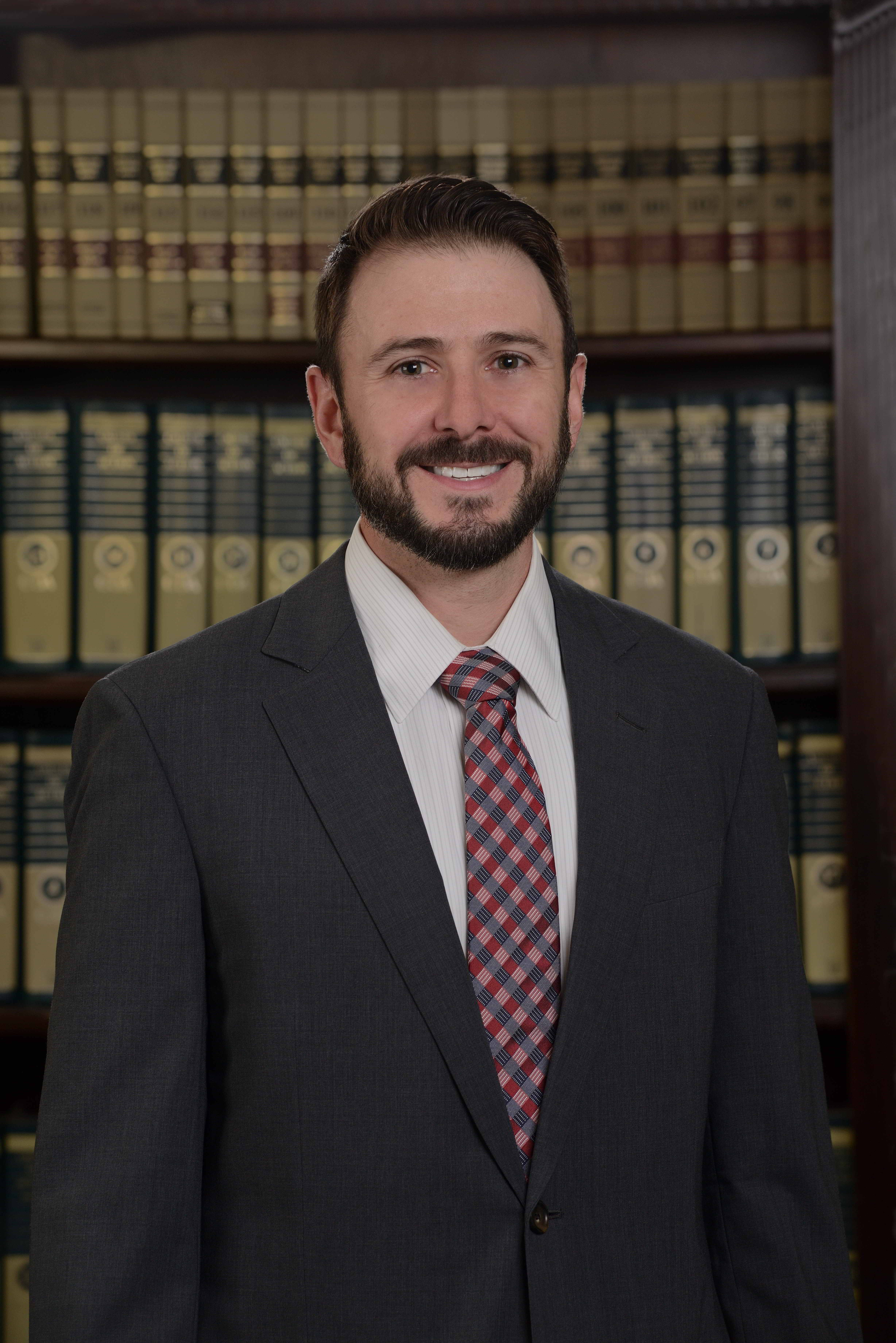
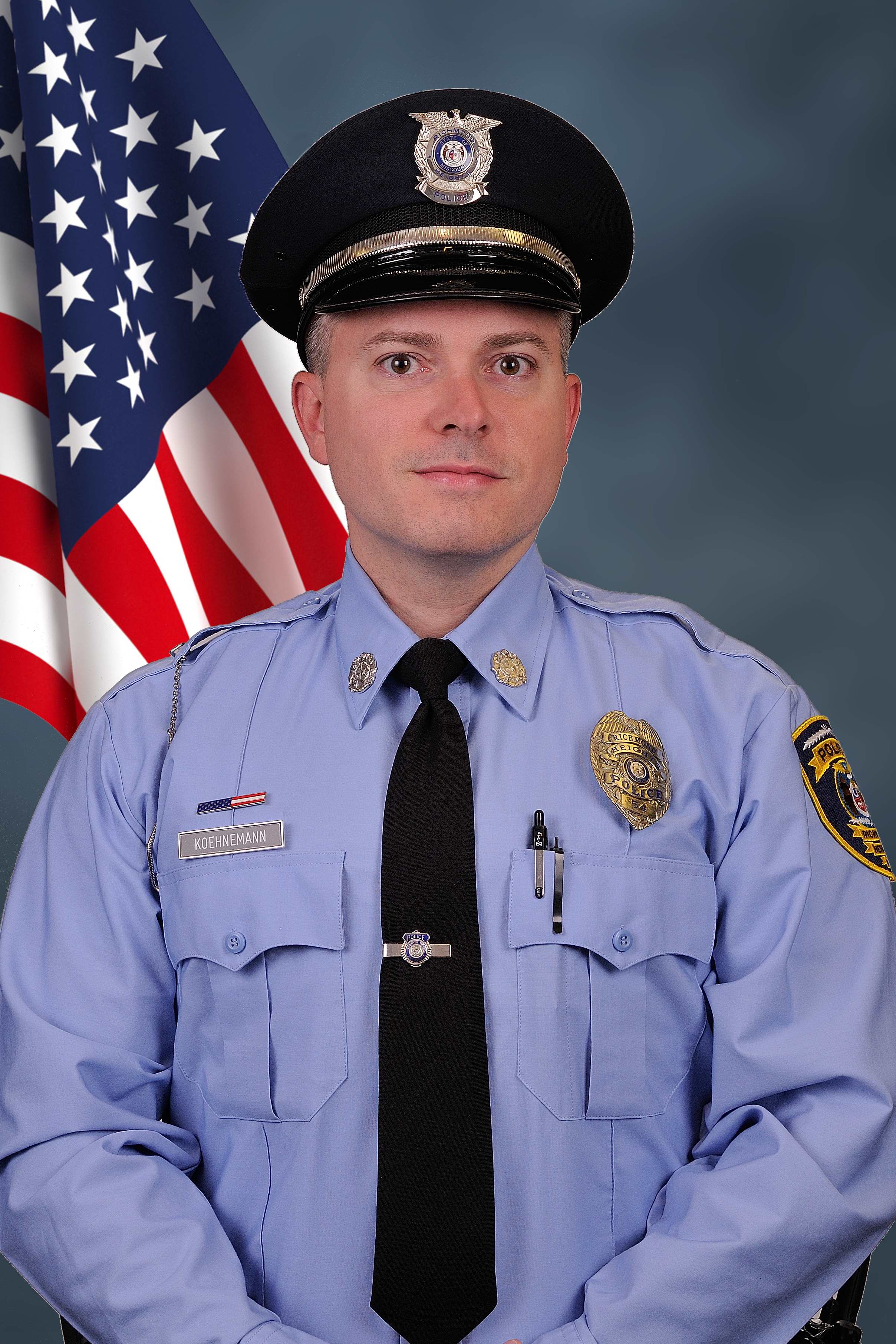
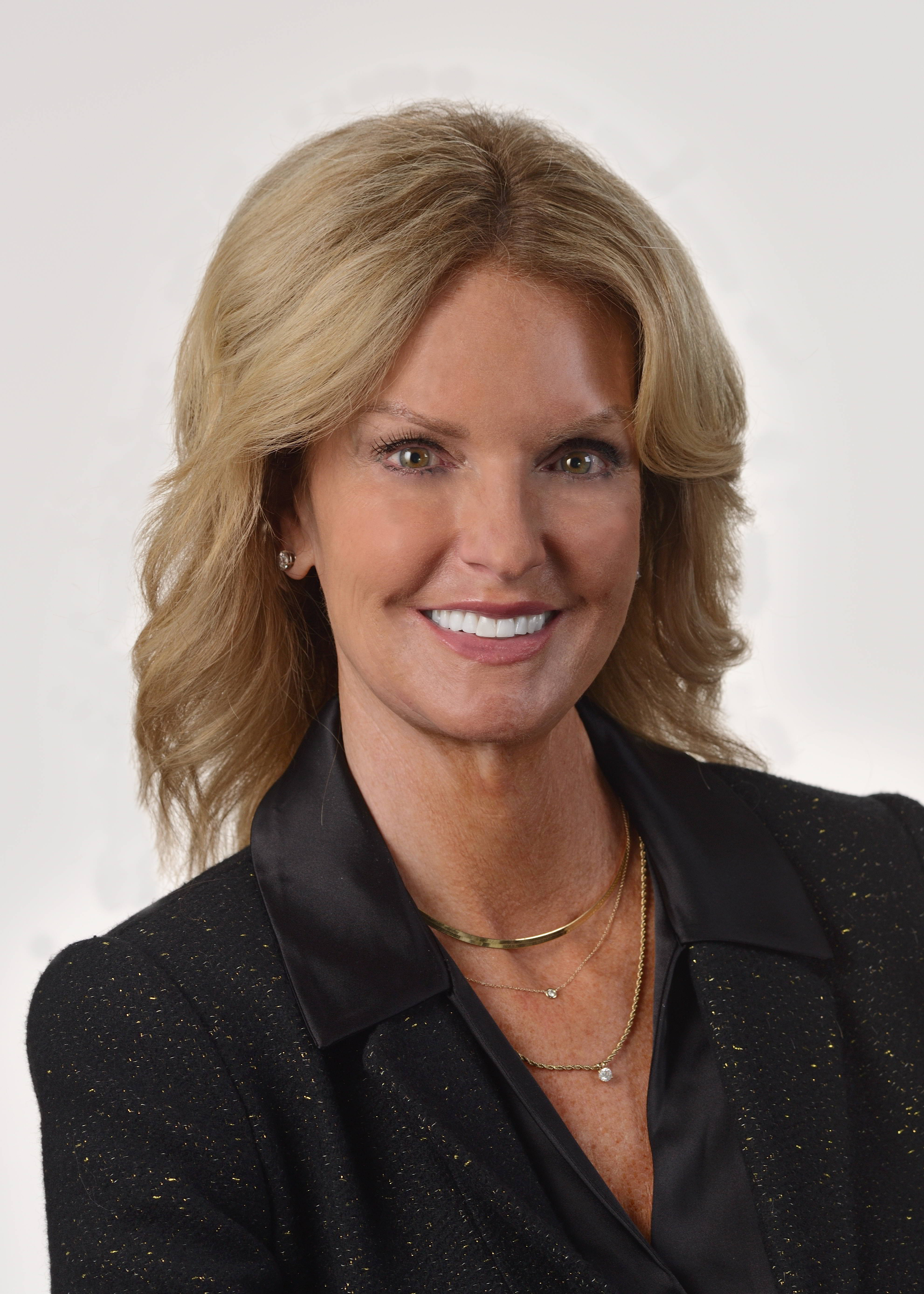
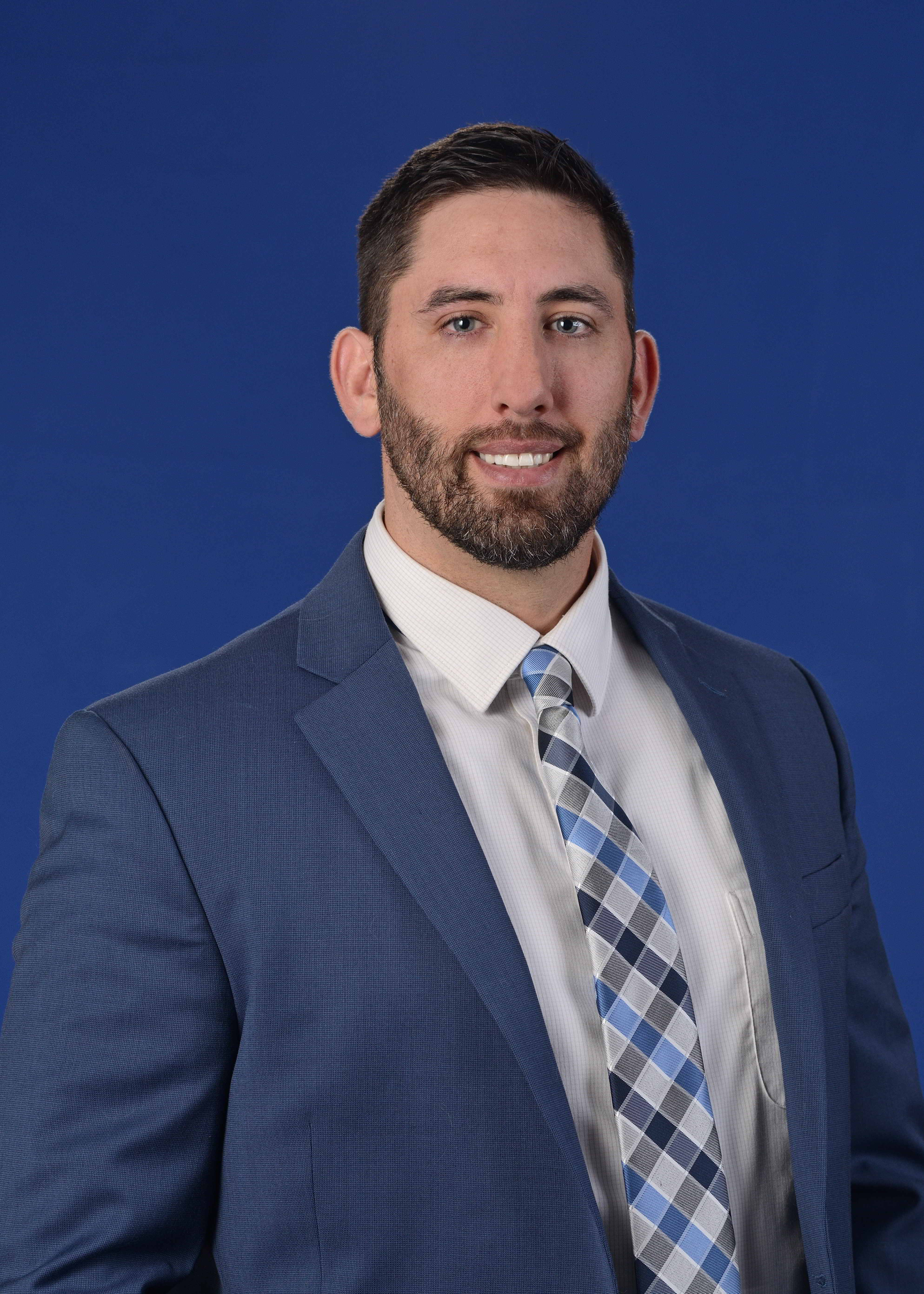
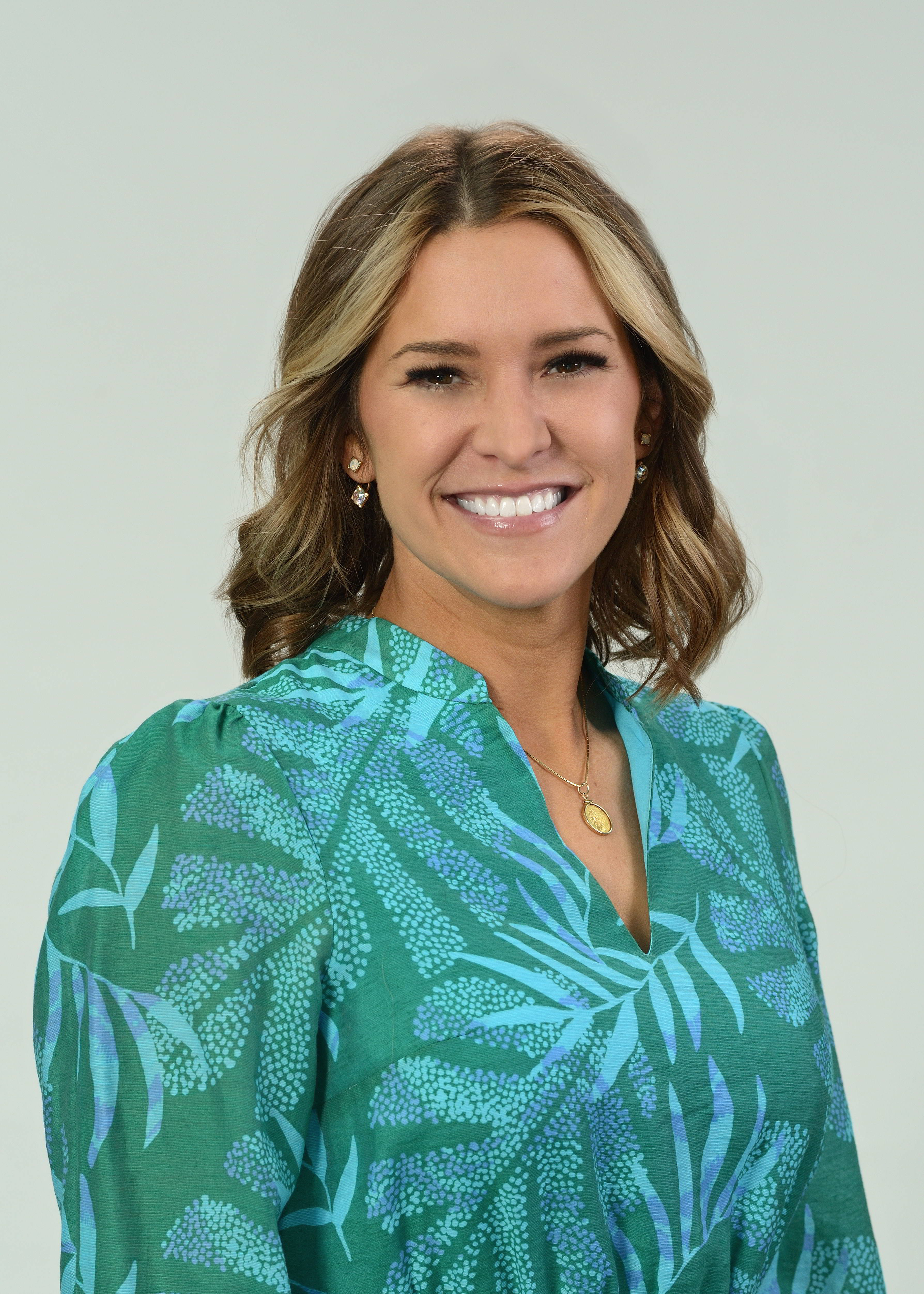
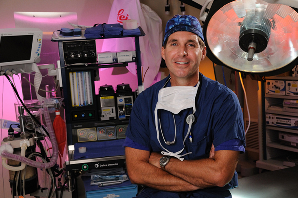
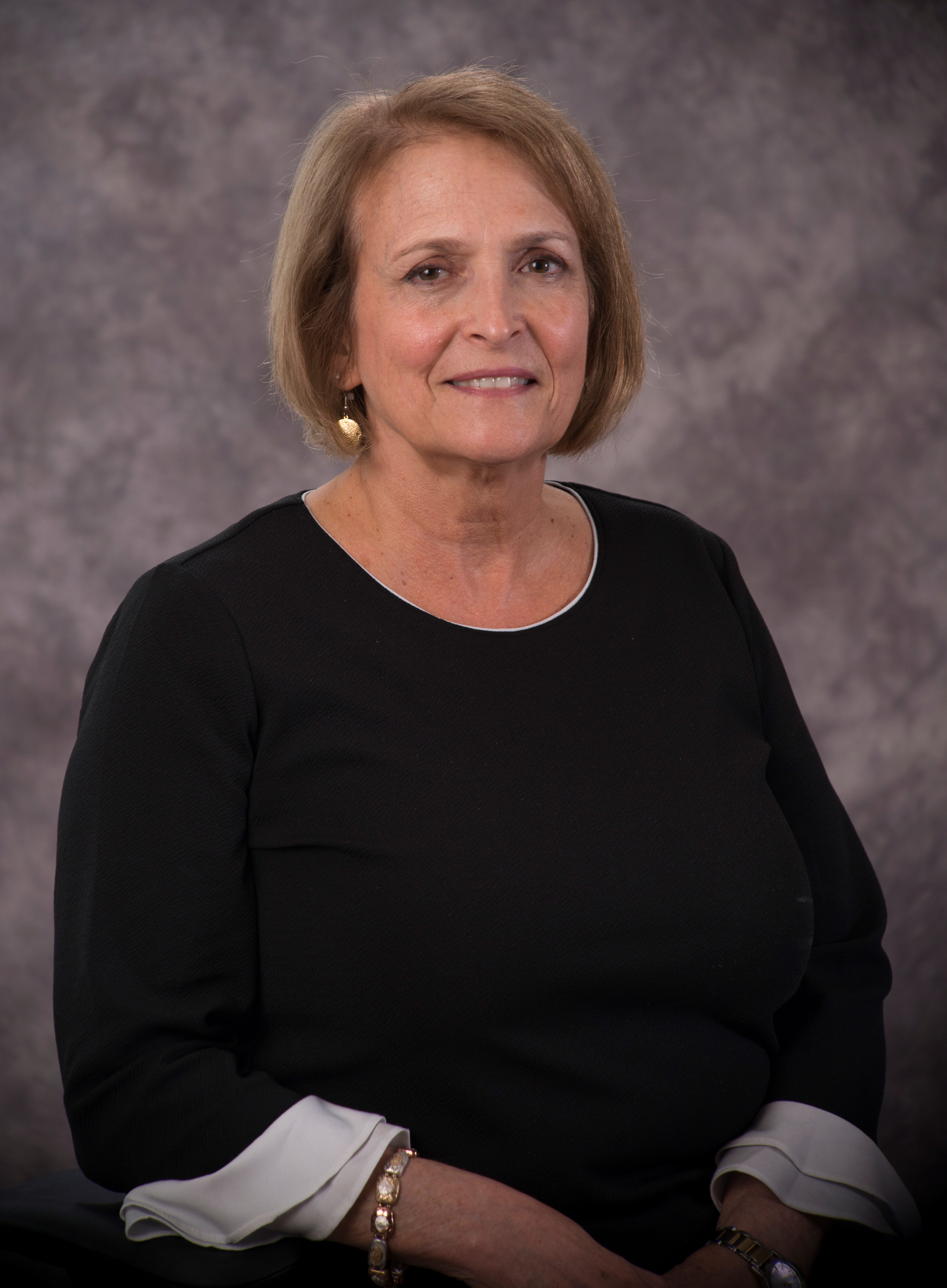
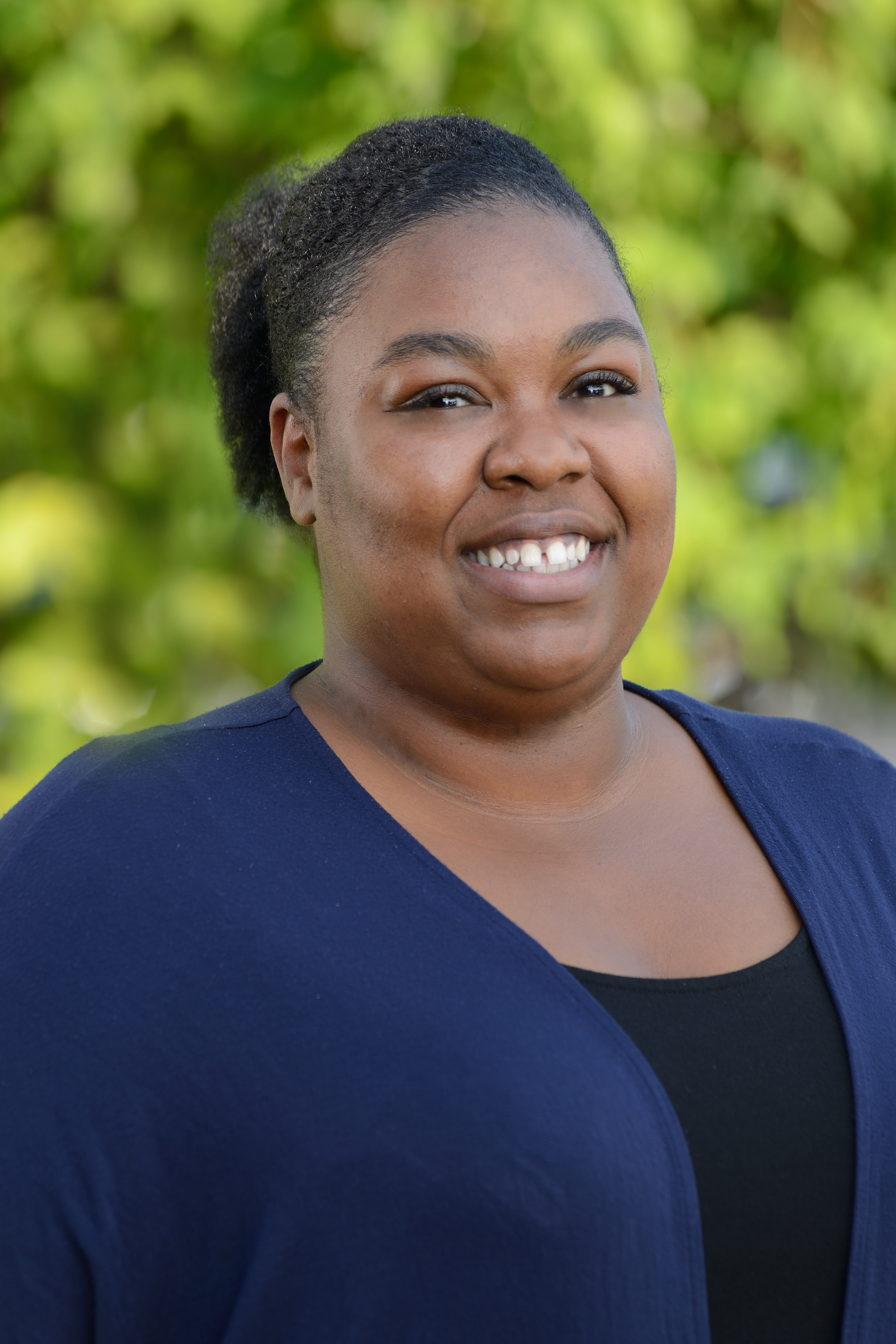
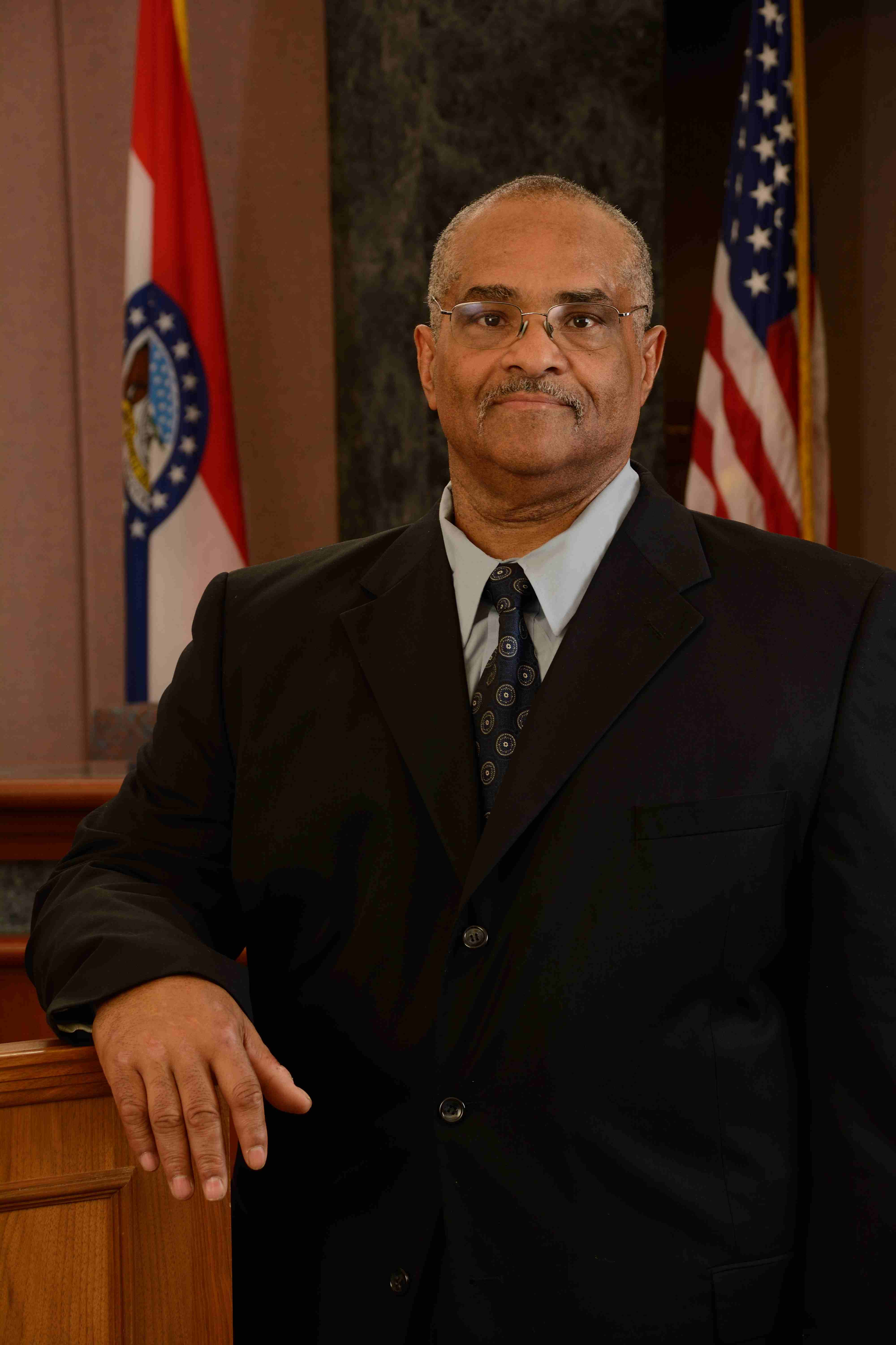
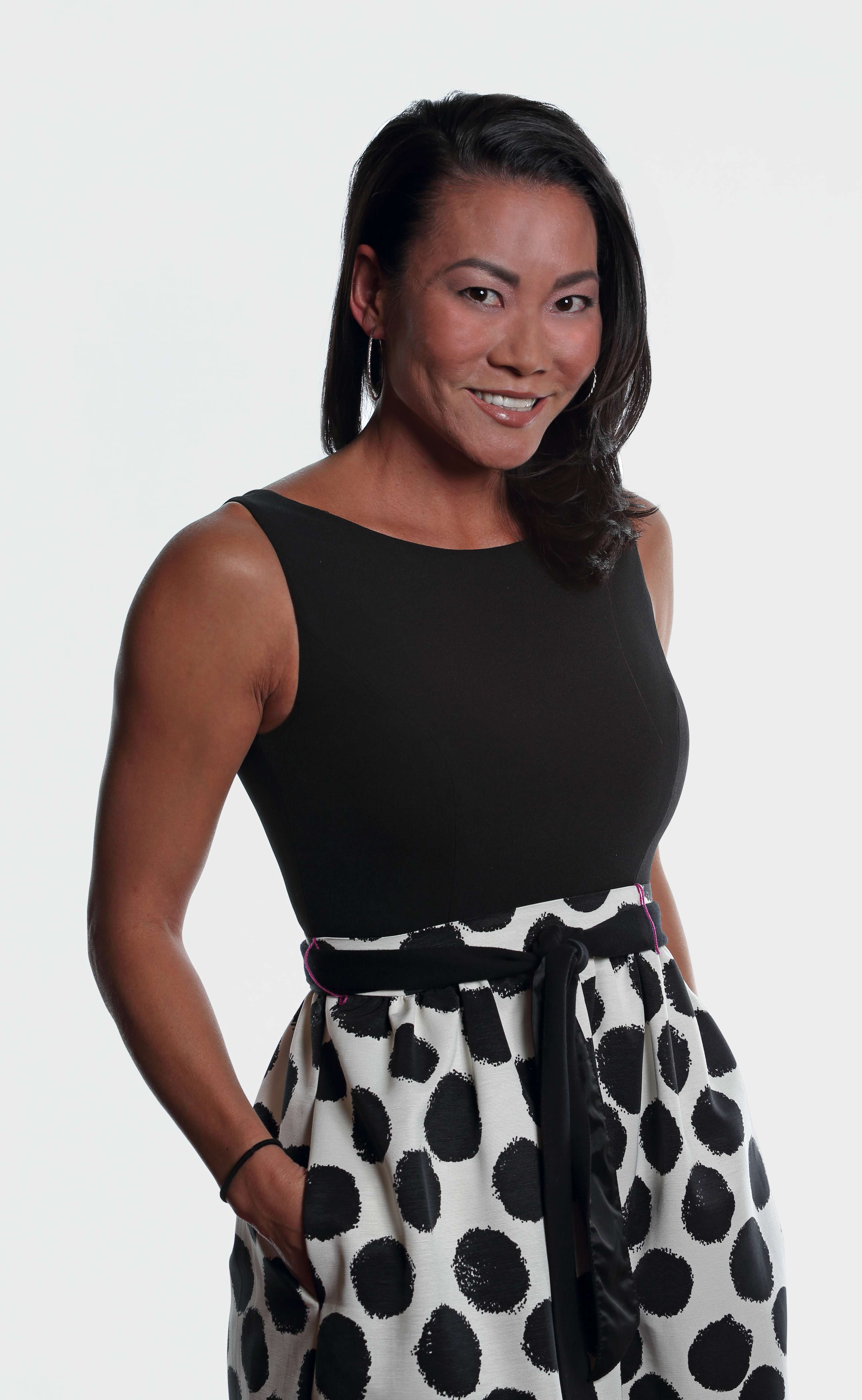
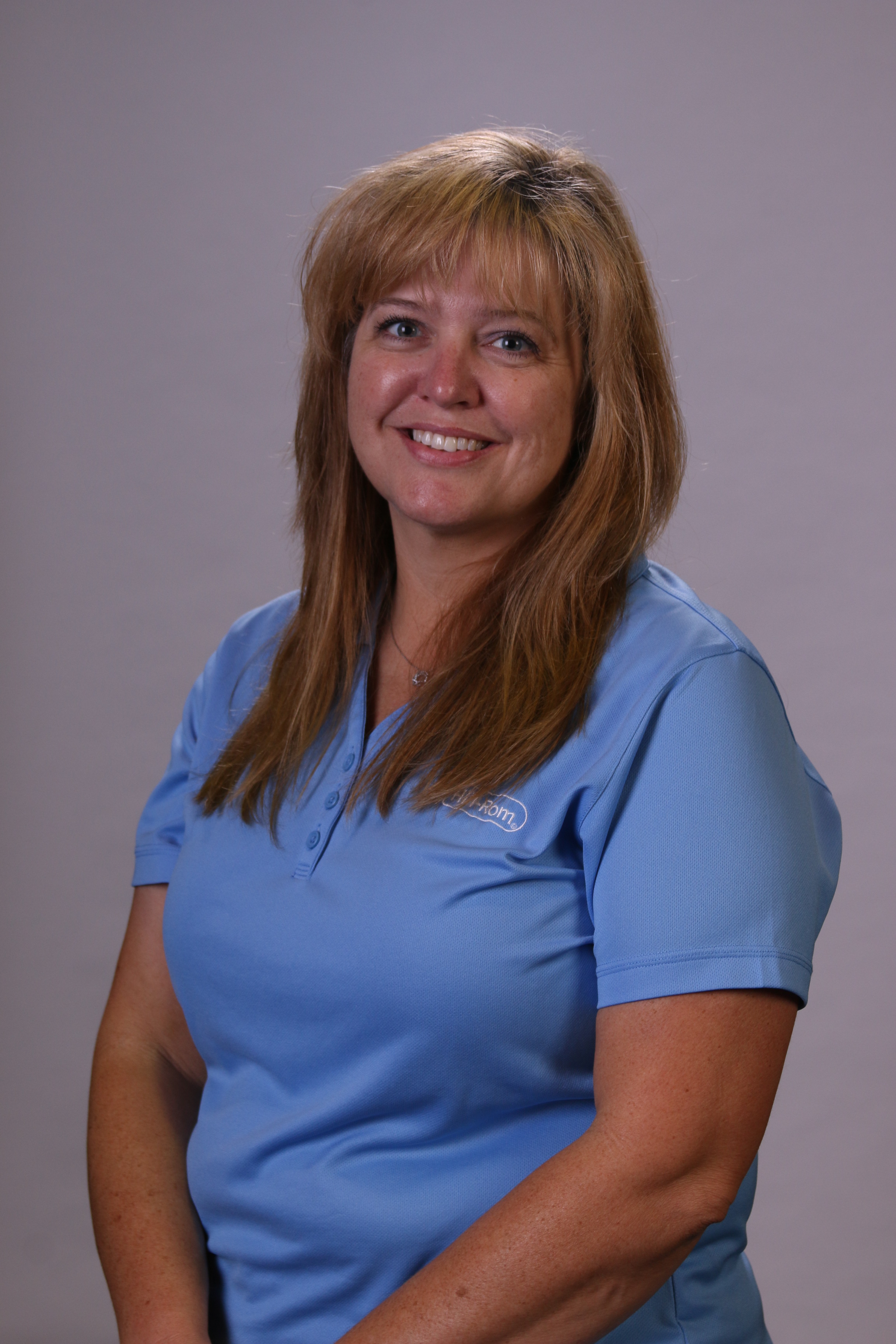
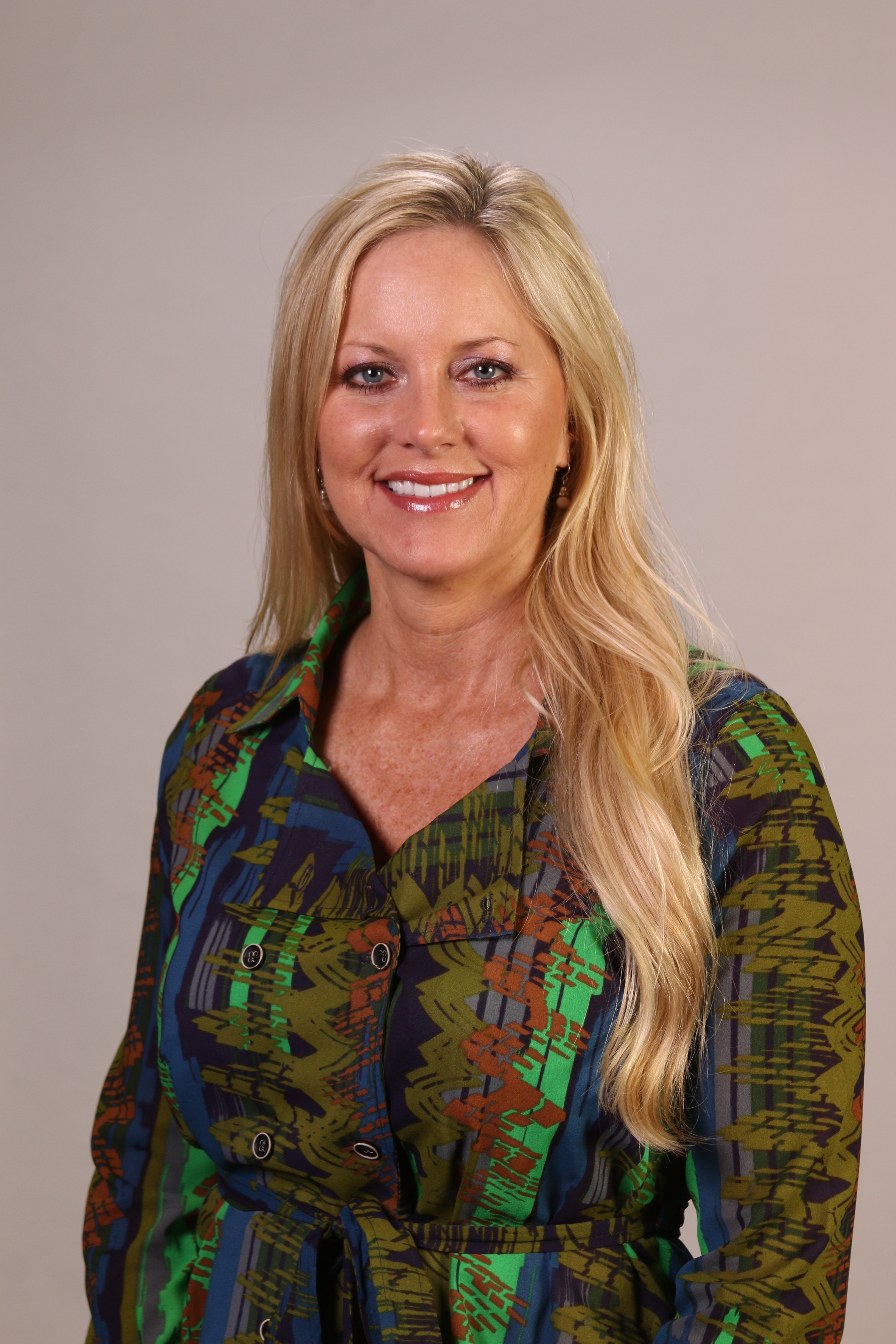
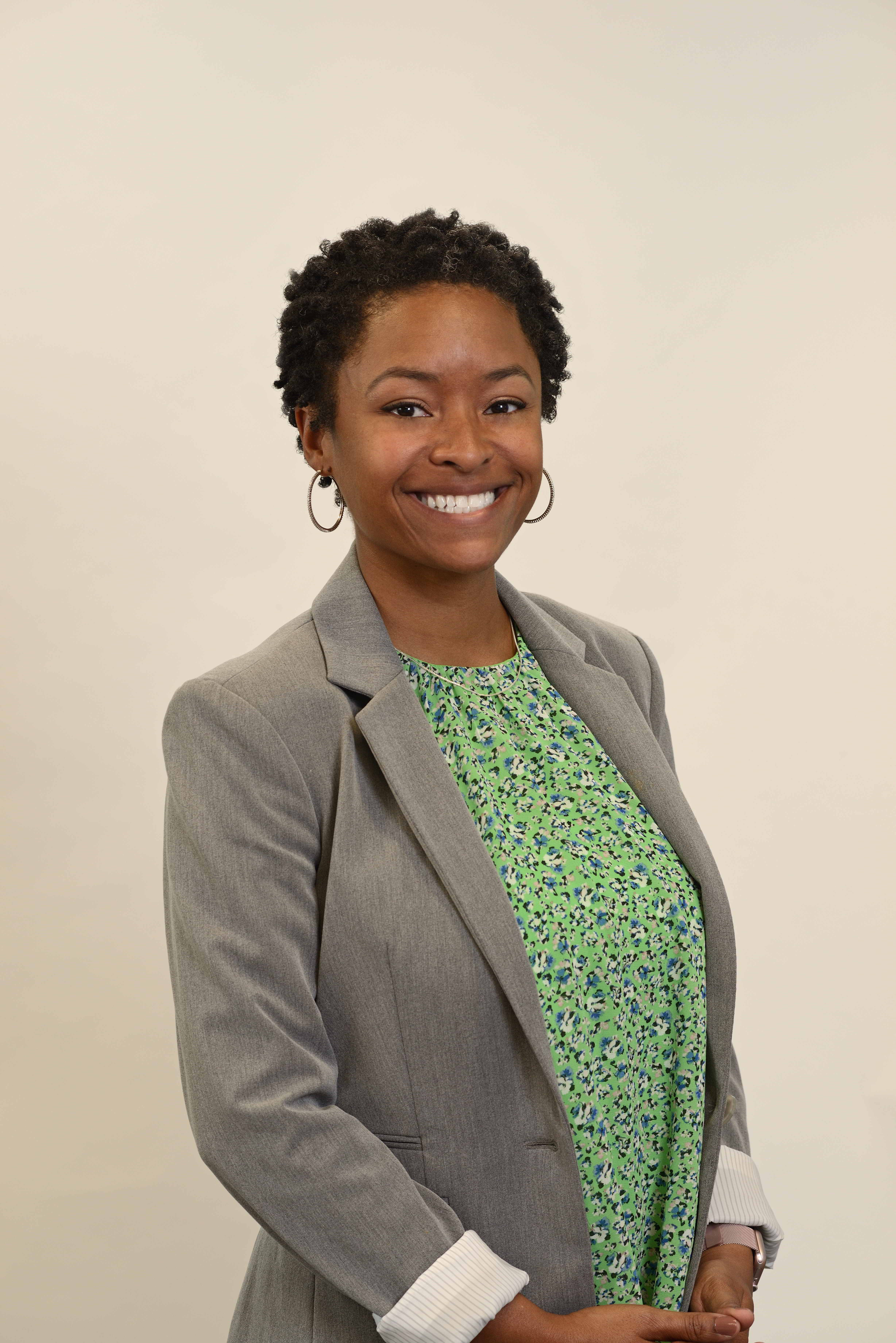
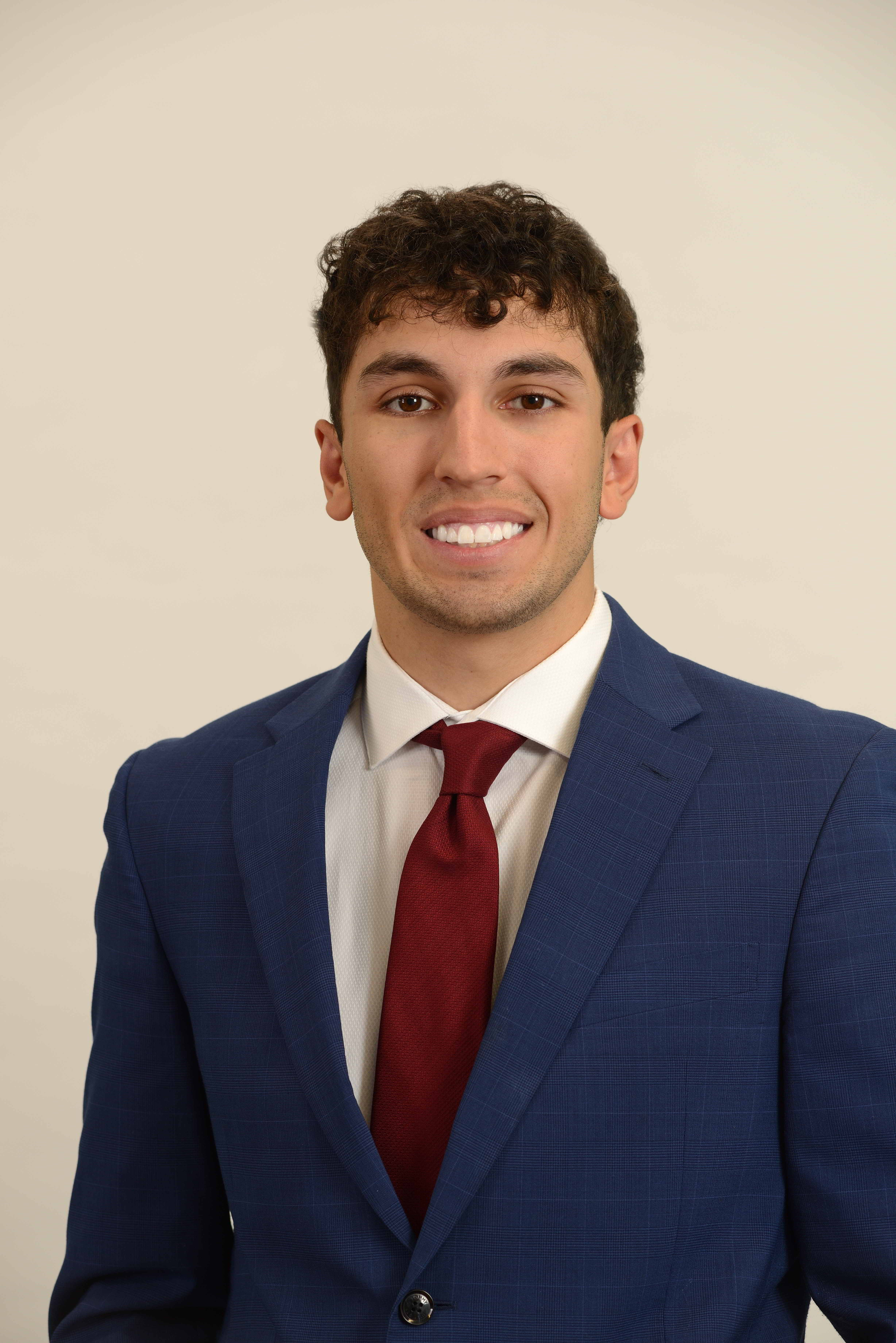
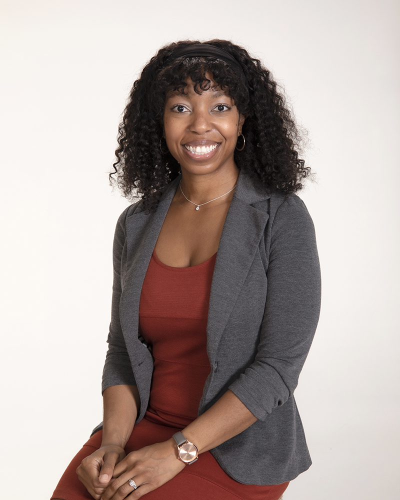
- For the Applicants: A non-compliant or poorly lit headshot can inadvertently signal a lack of professionalism. ERAS maintains rigid technical specifications regarding dimensions, aspect ratios, and file sizes that must be met perfectly.
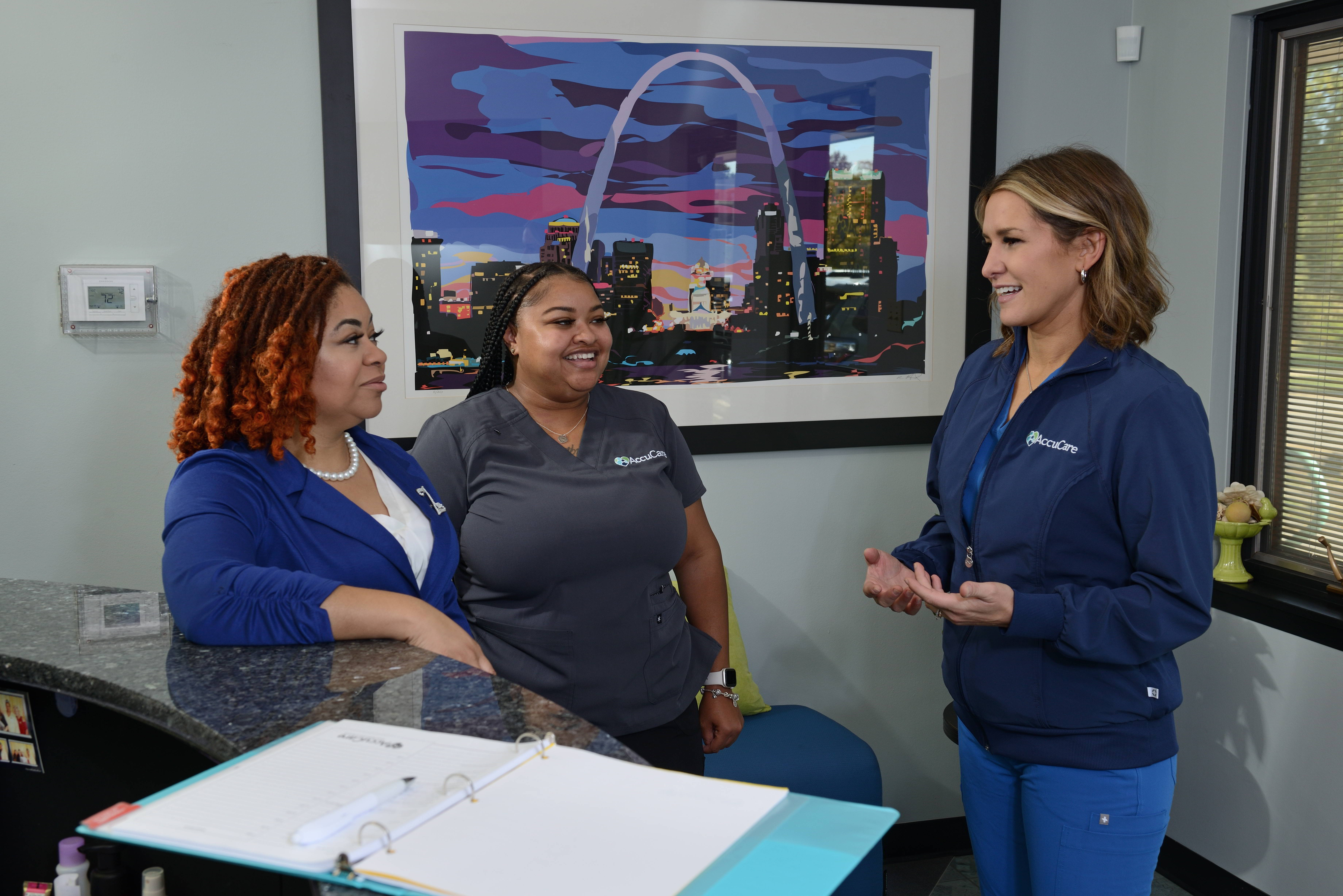
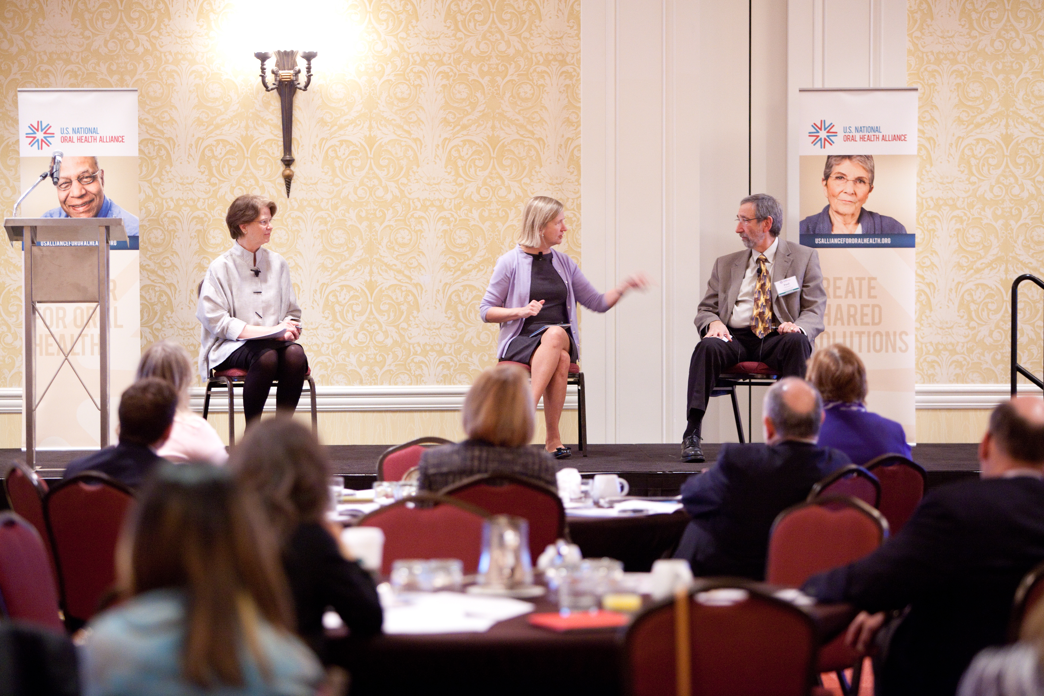
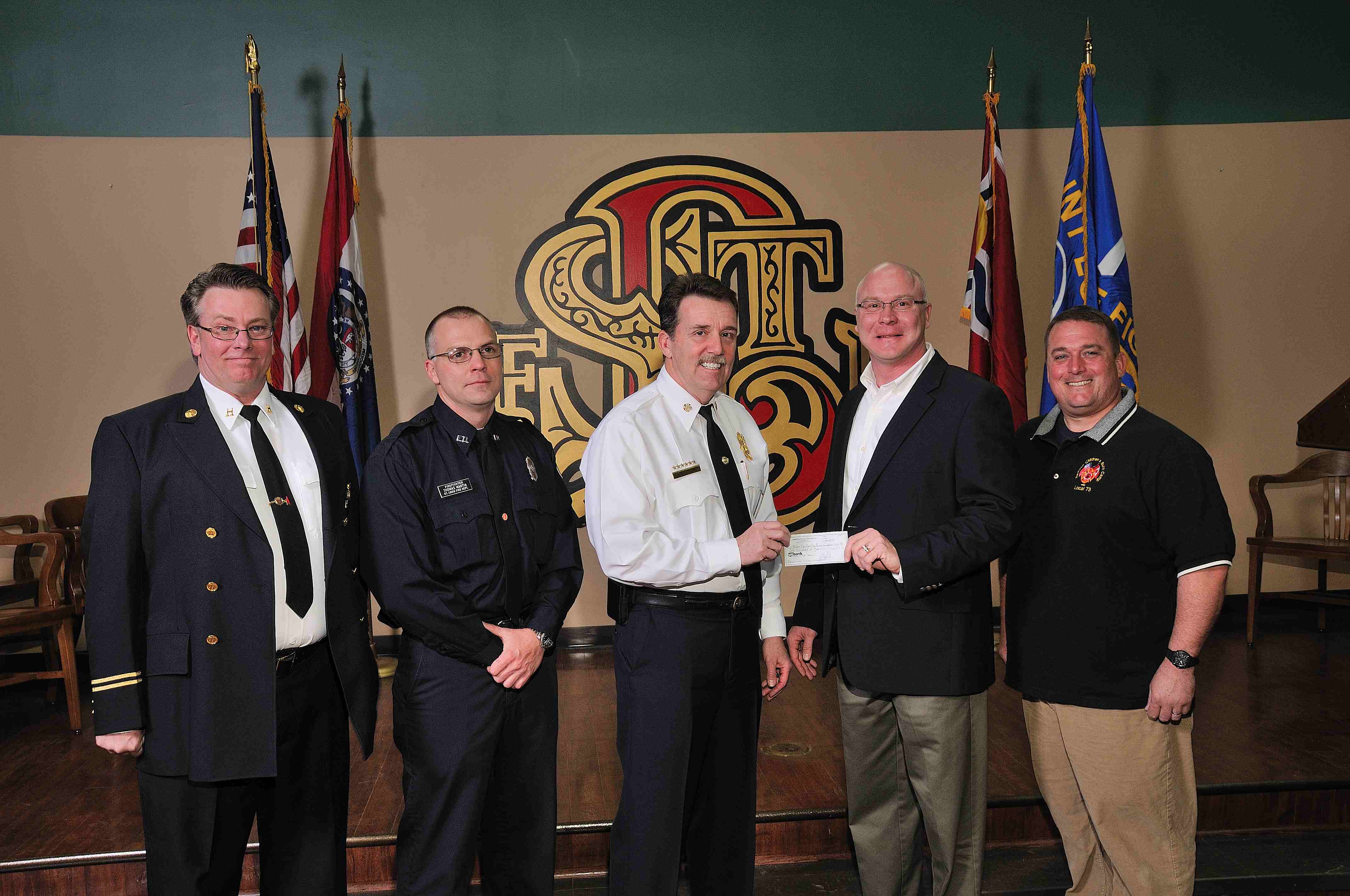
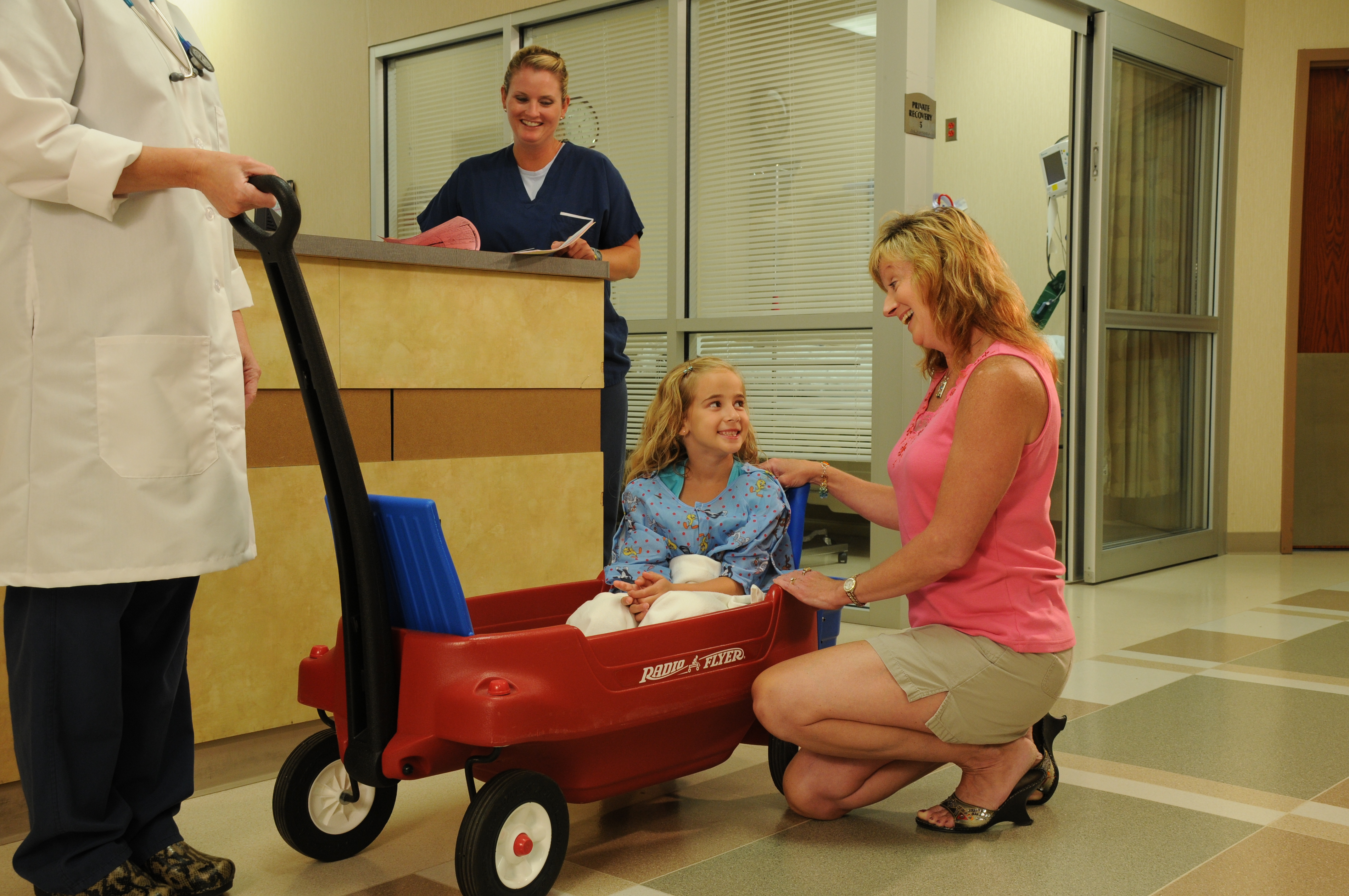
- For the Programs: High-quality video clips—such as “day-in-the-life” snippets, faculty introductions, or virtual department tours—are the most effective tools for attracting elite residents in a digital-first recruitment era.
Investing in these assets independently can lead to fractured branding and inflated costs. The key to true cost-efficiency lies in production convergence.

3 Strategies for Cost-Efficient Photo and Video Production
1. The Hybrid Session Model (Batch Processing)
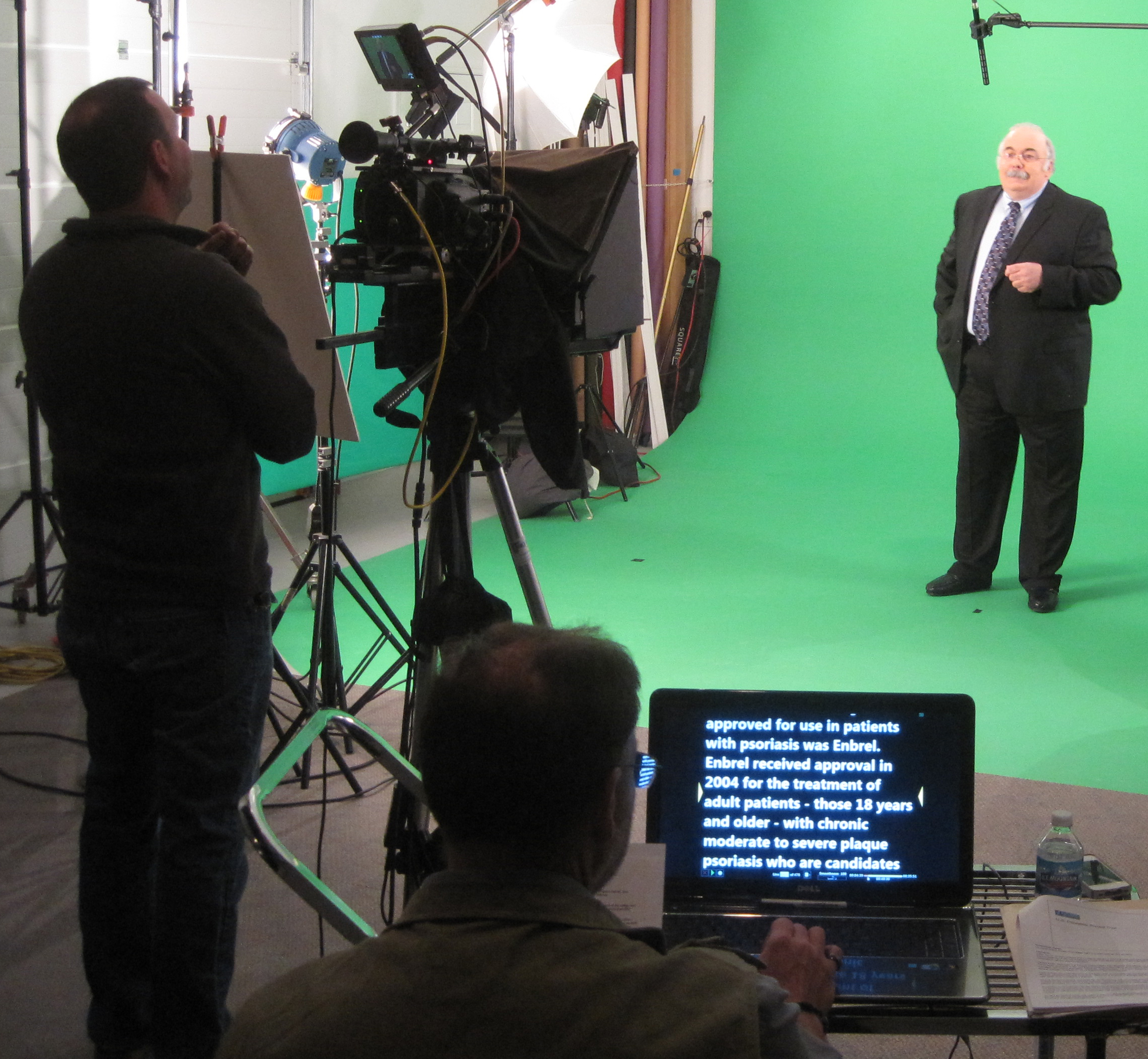
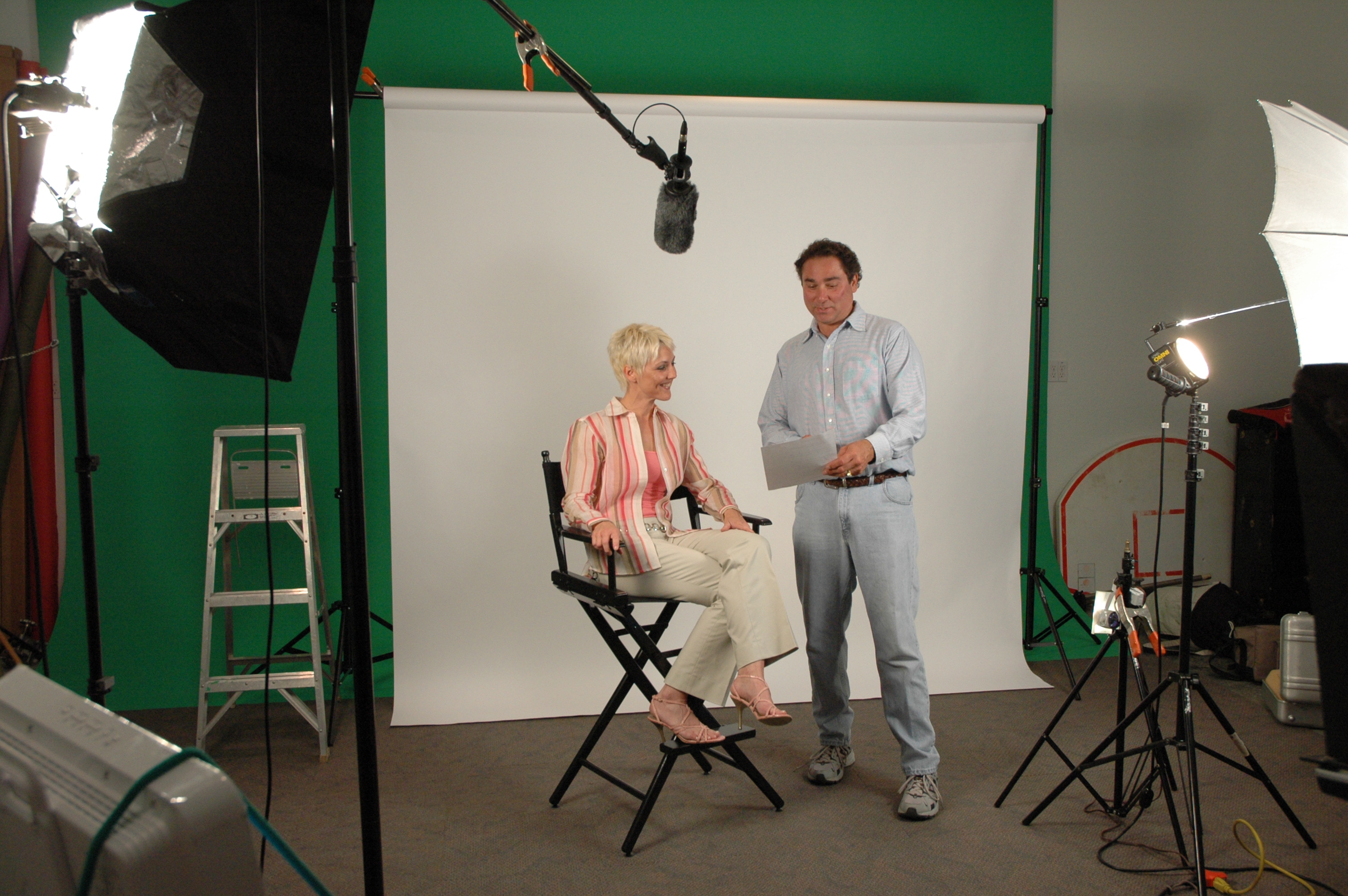
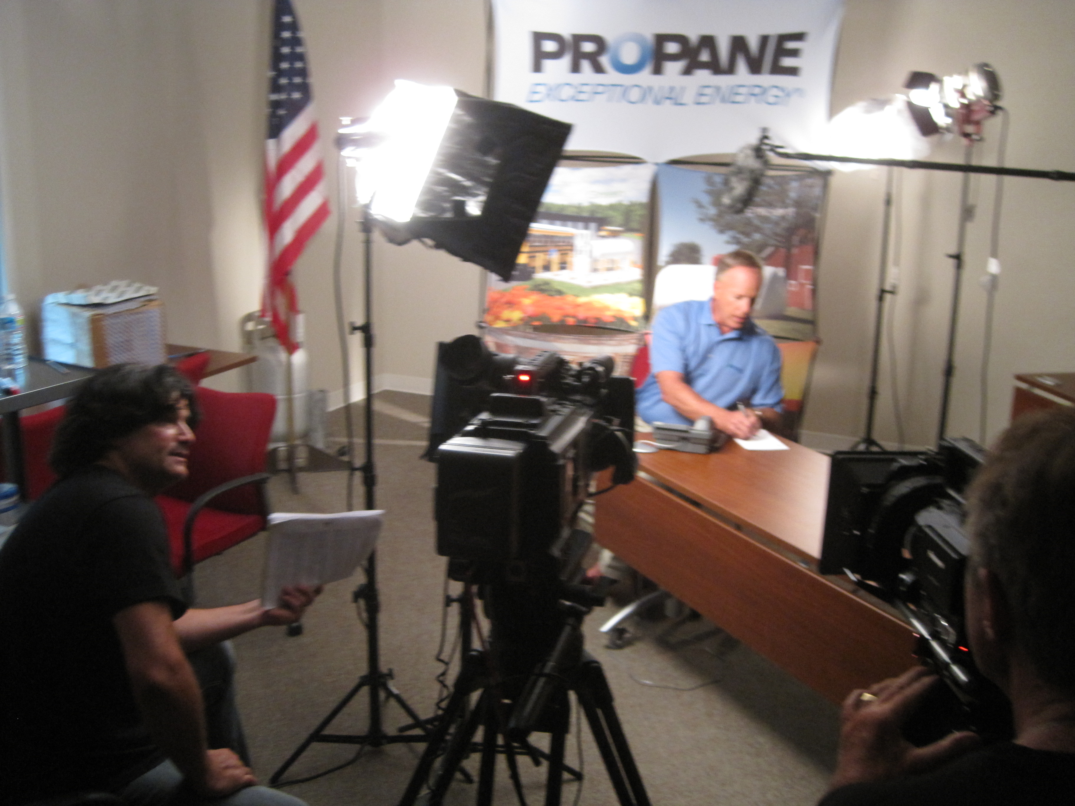
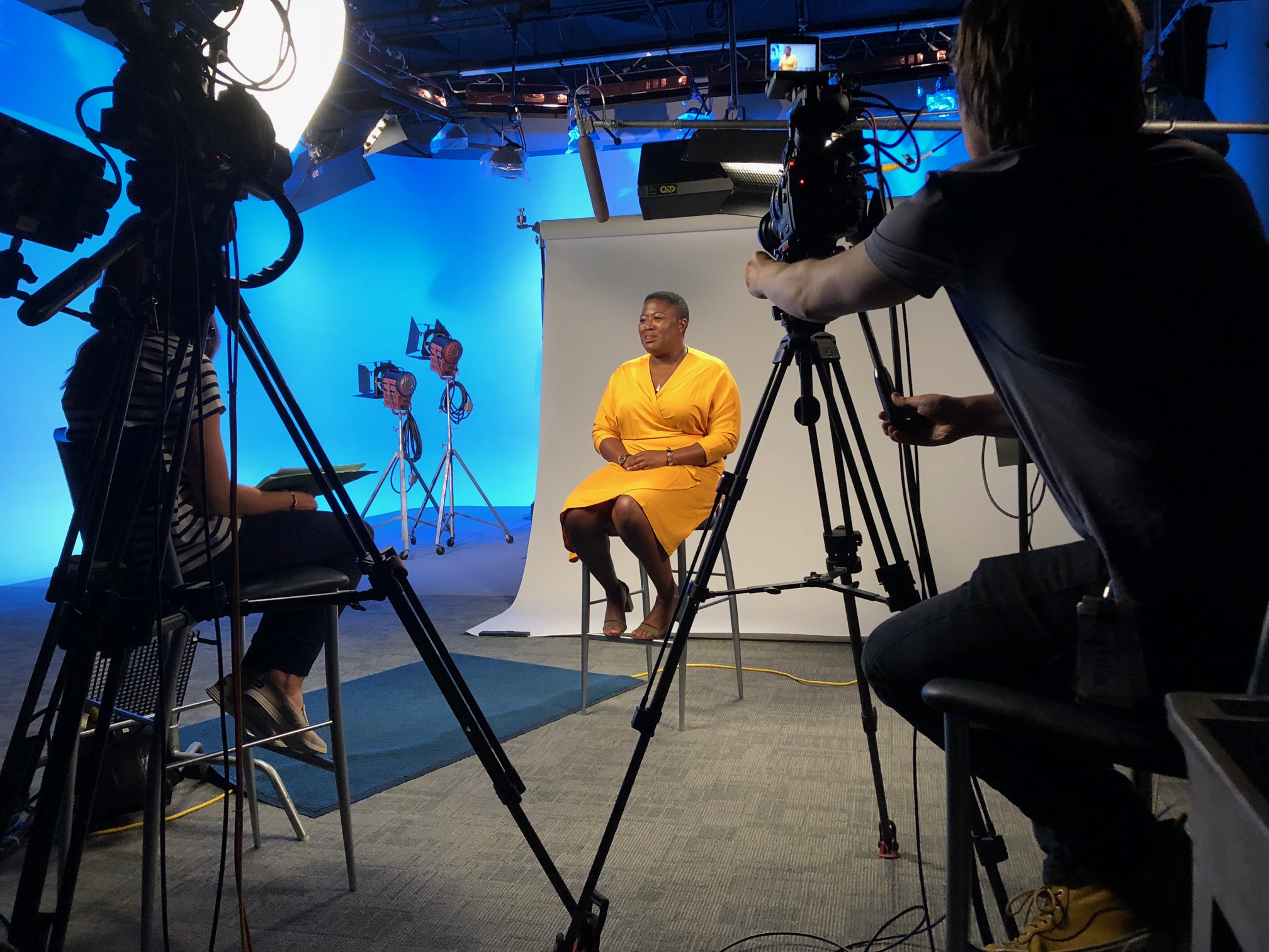
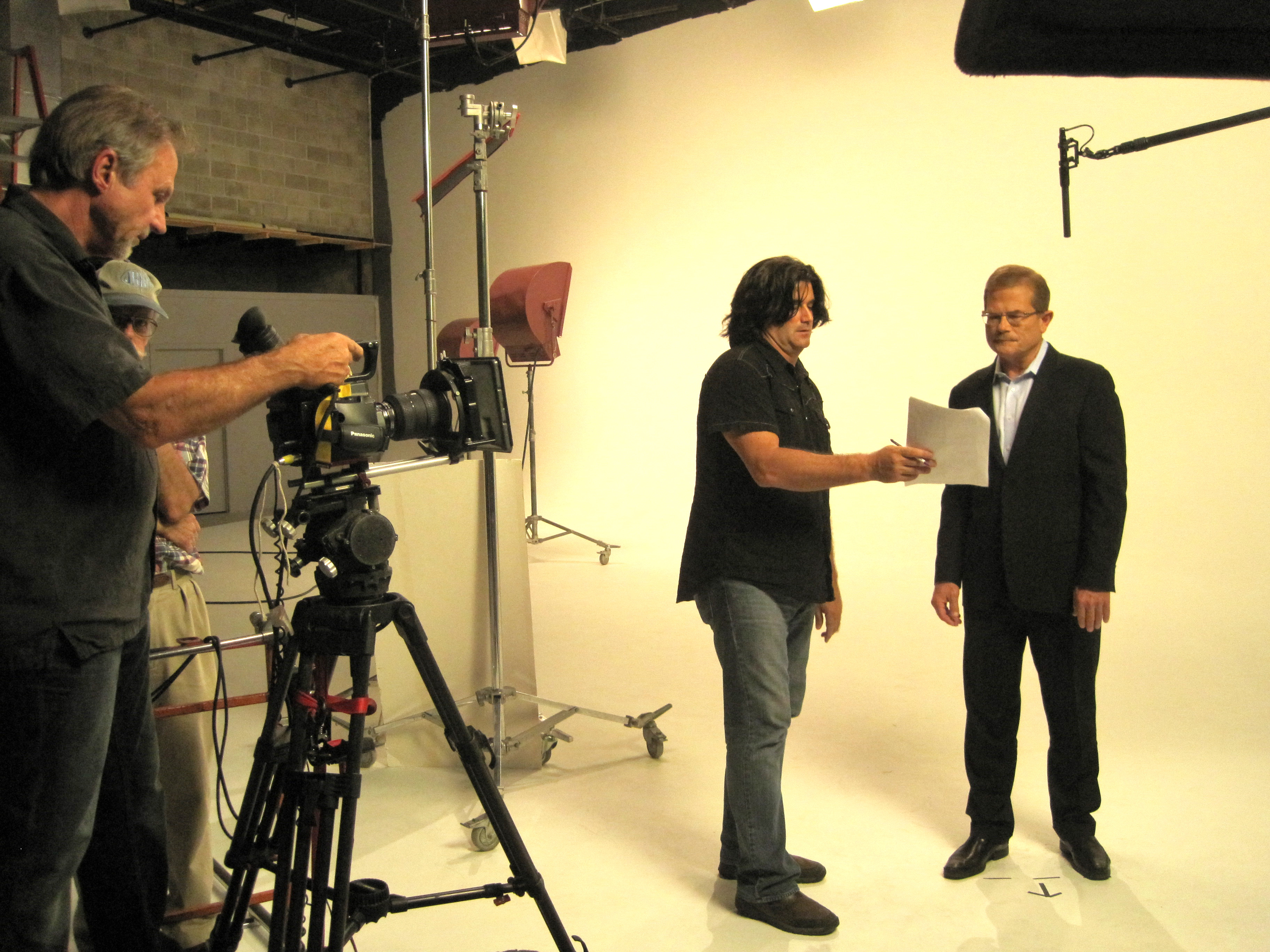
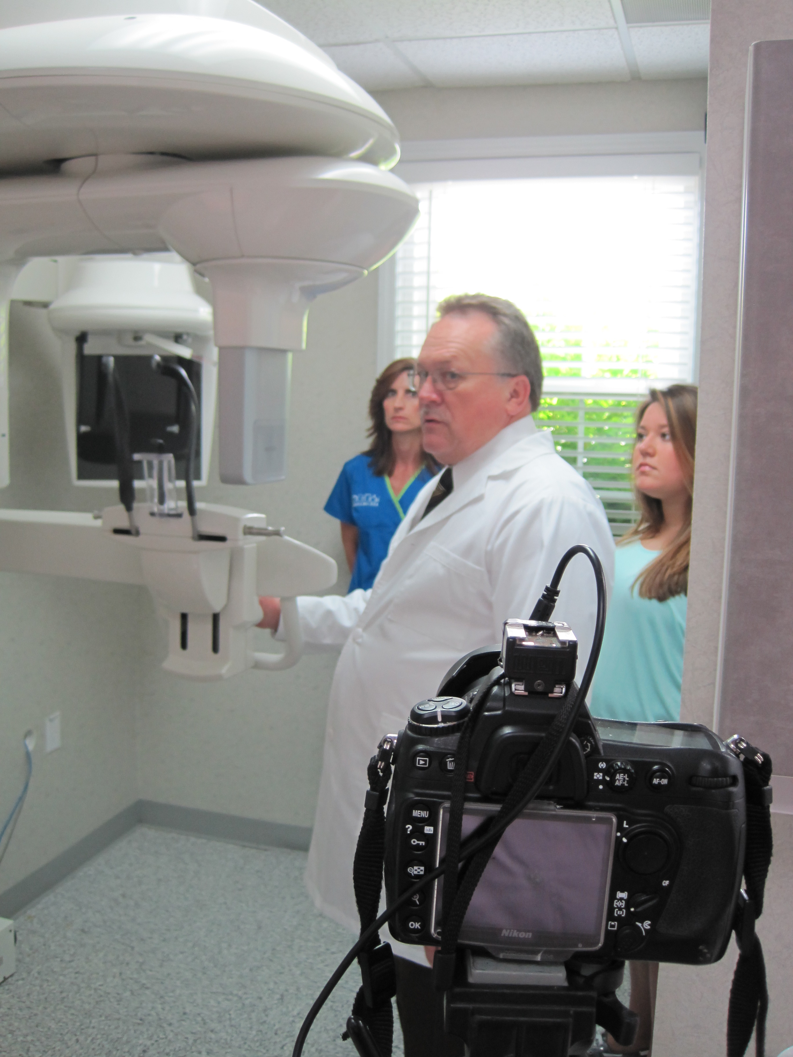
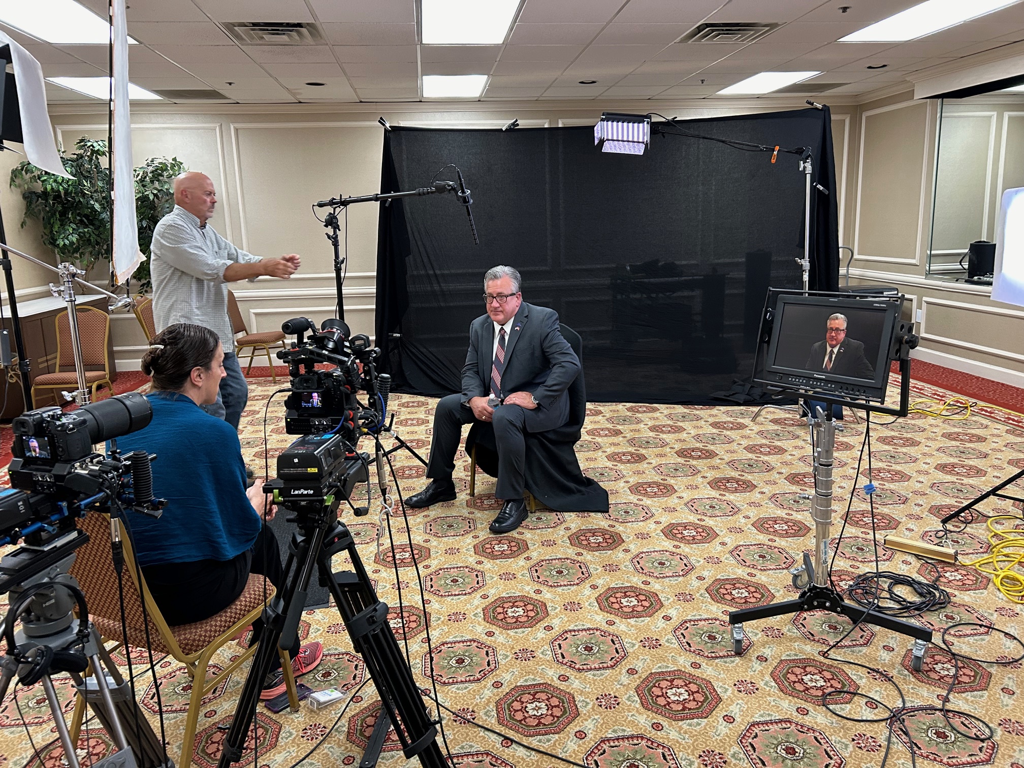
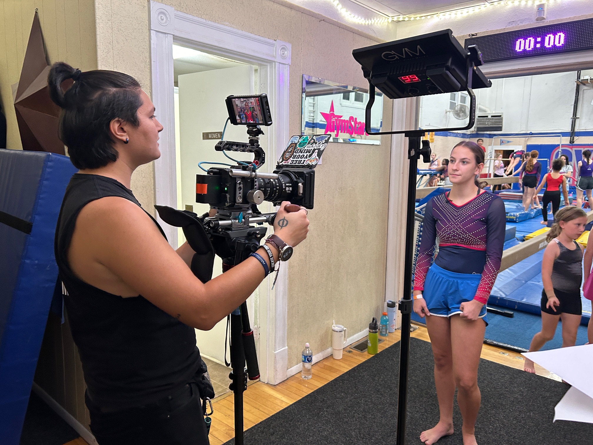
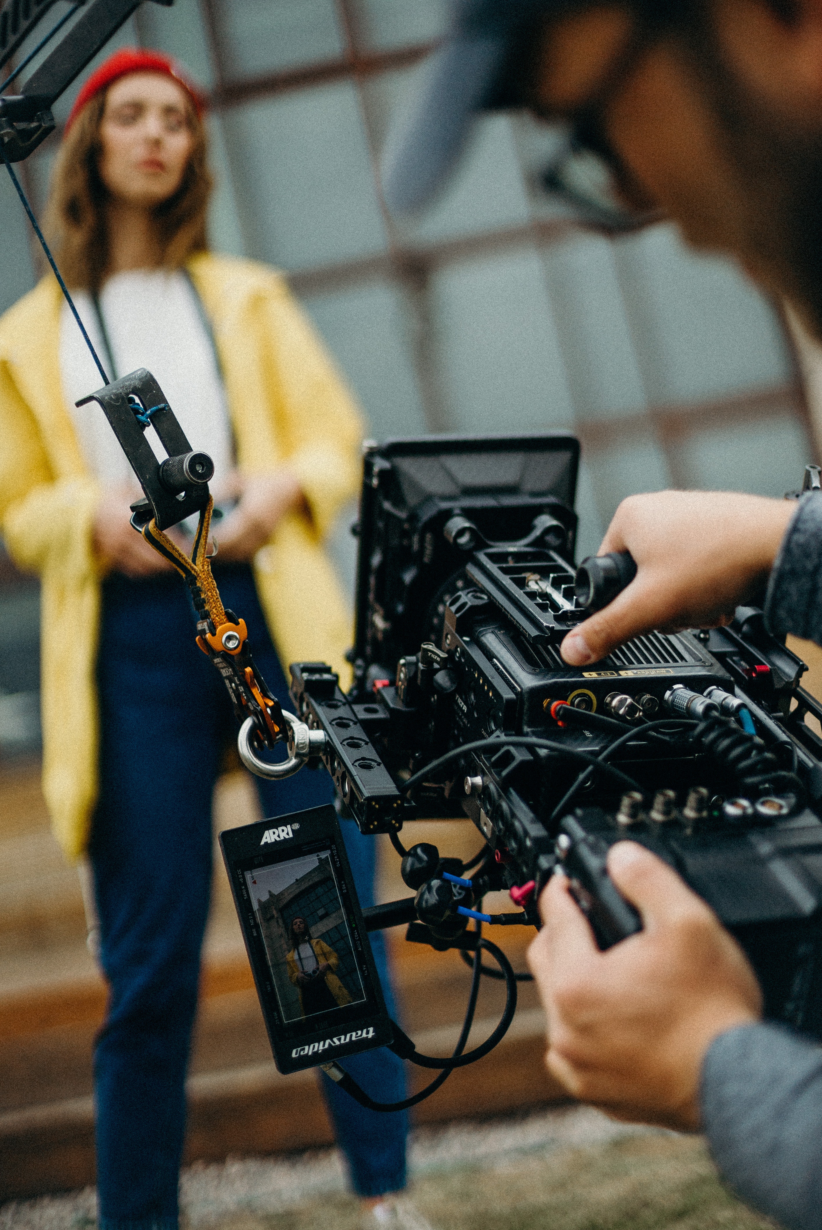
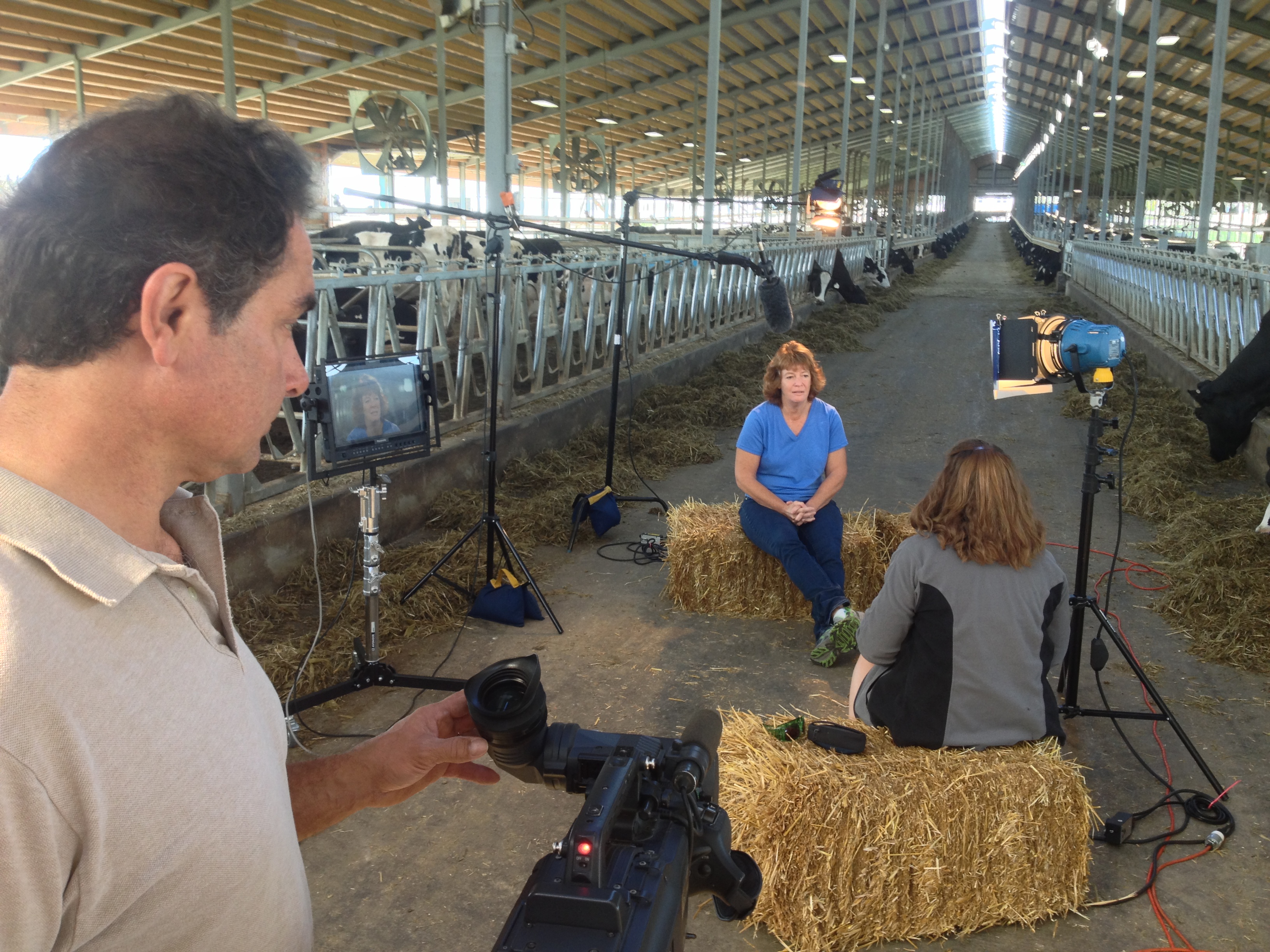
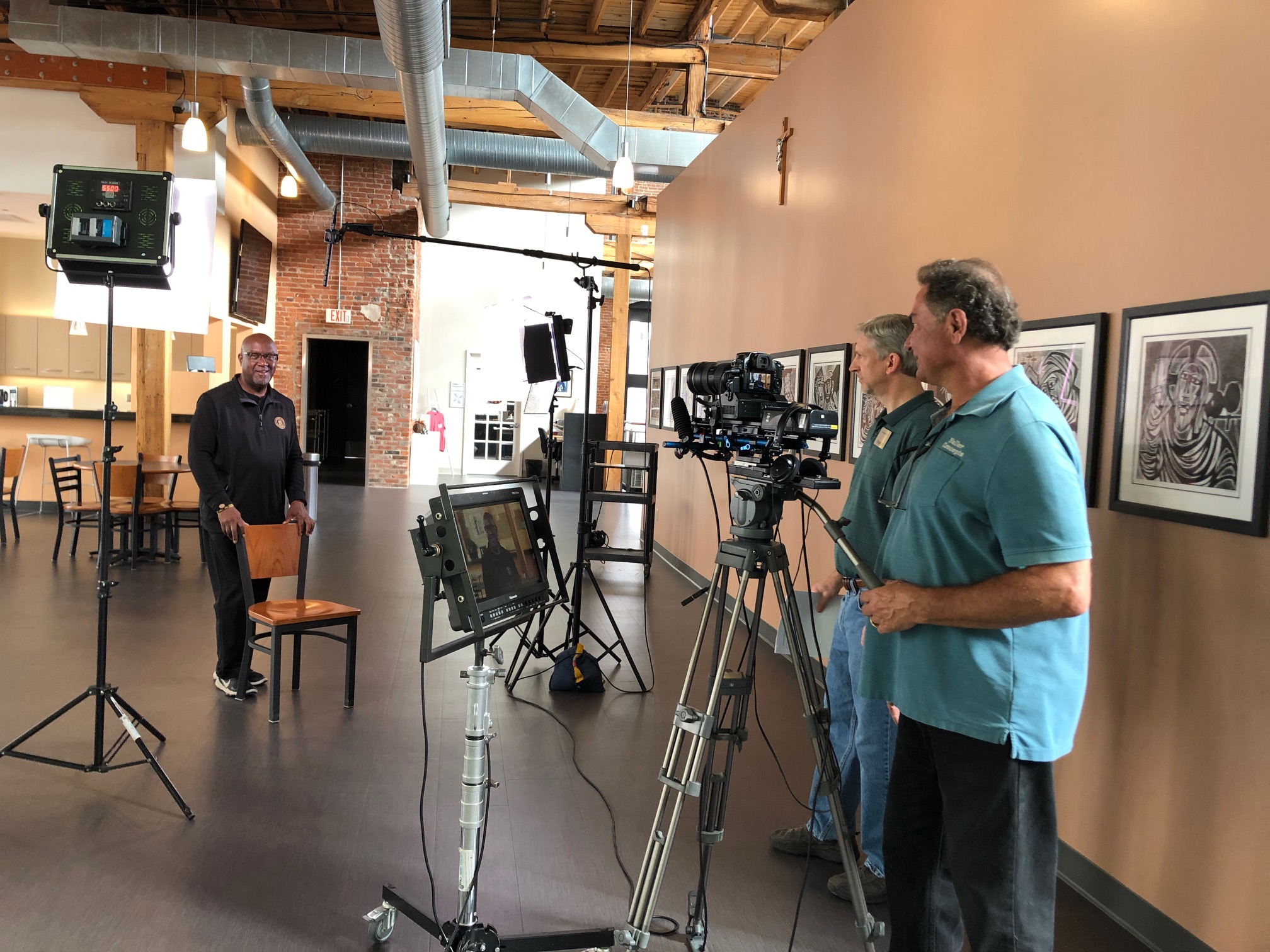
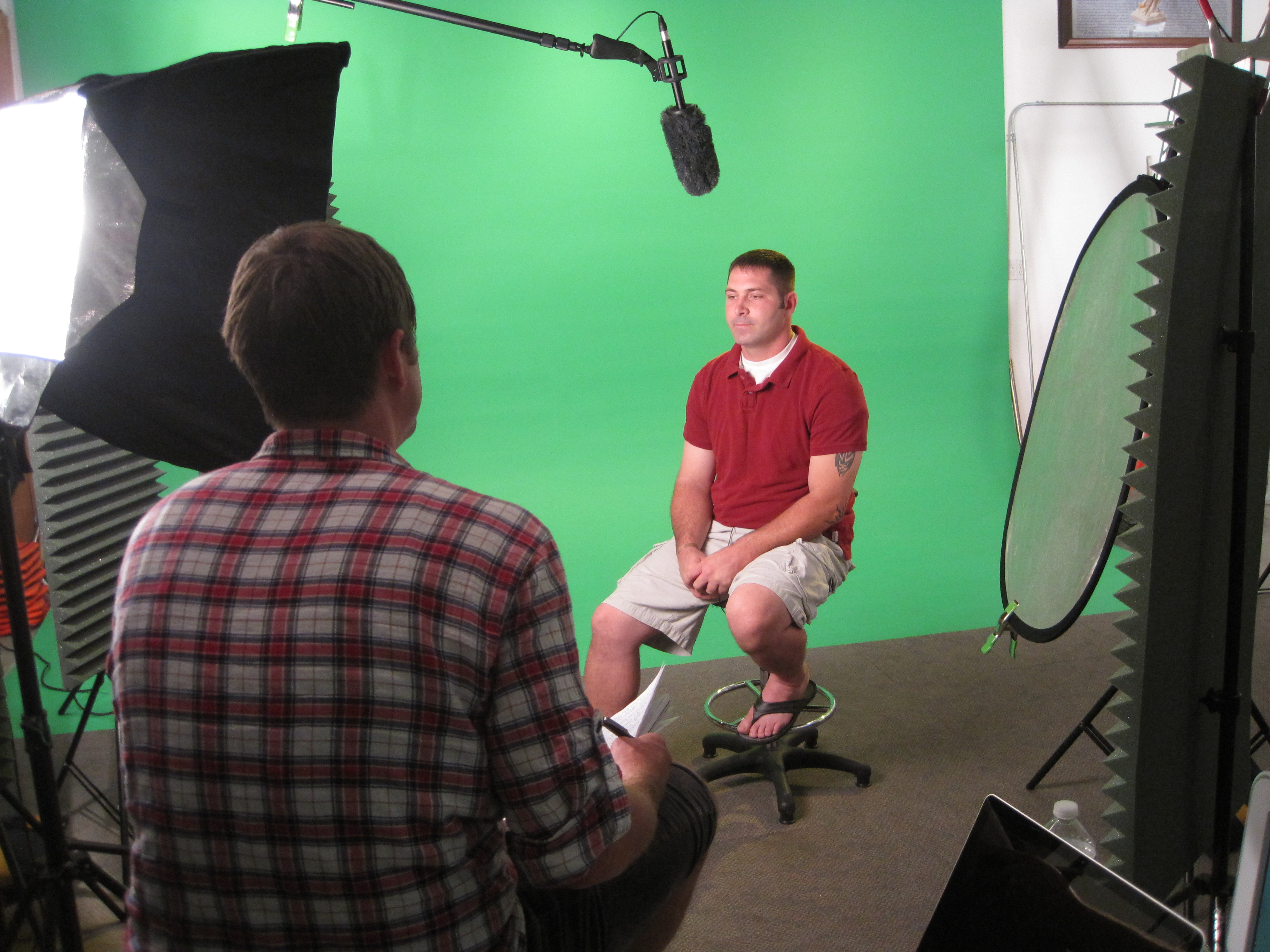
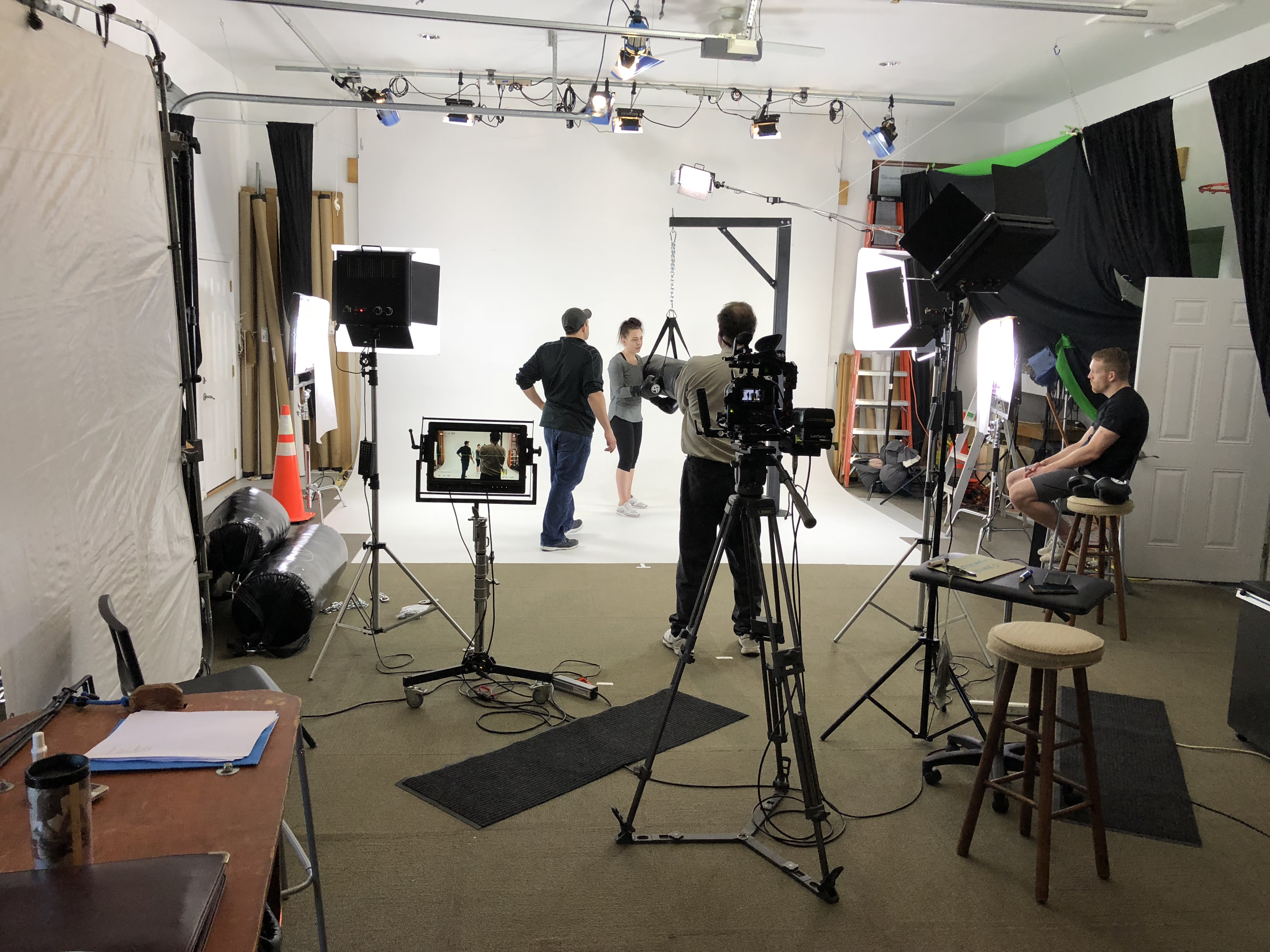
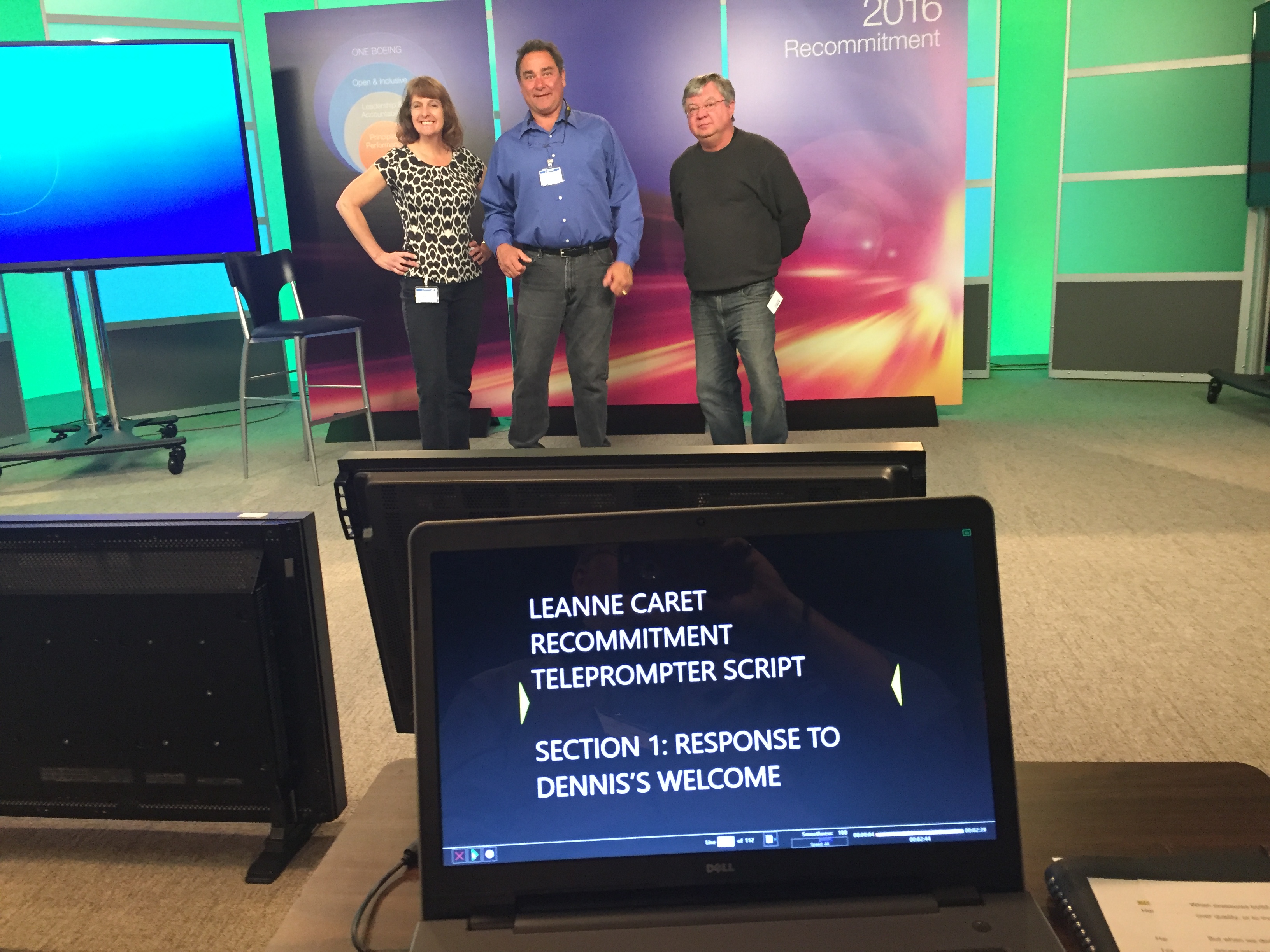
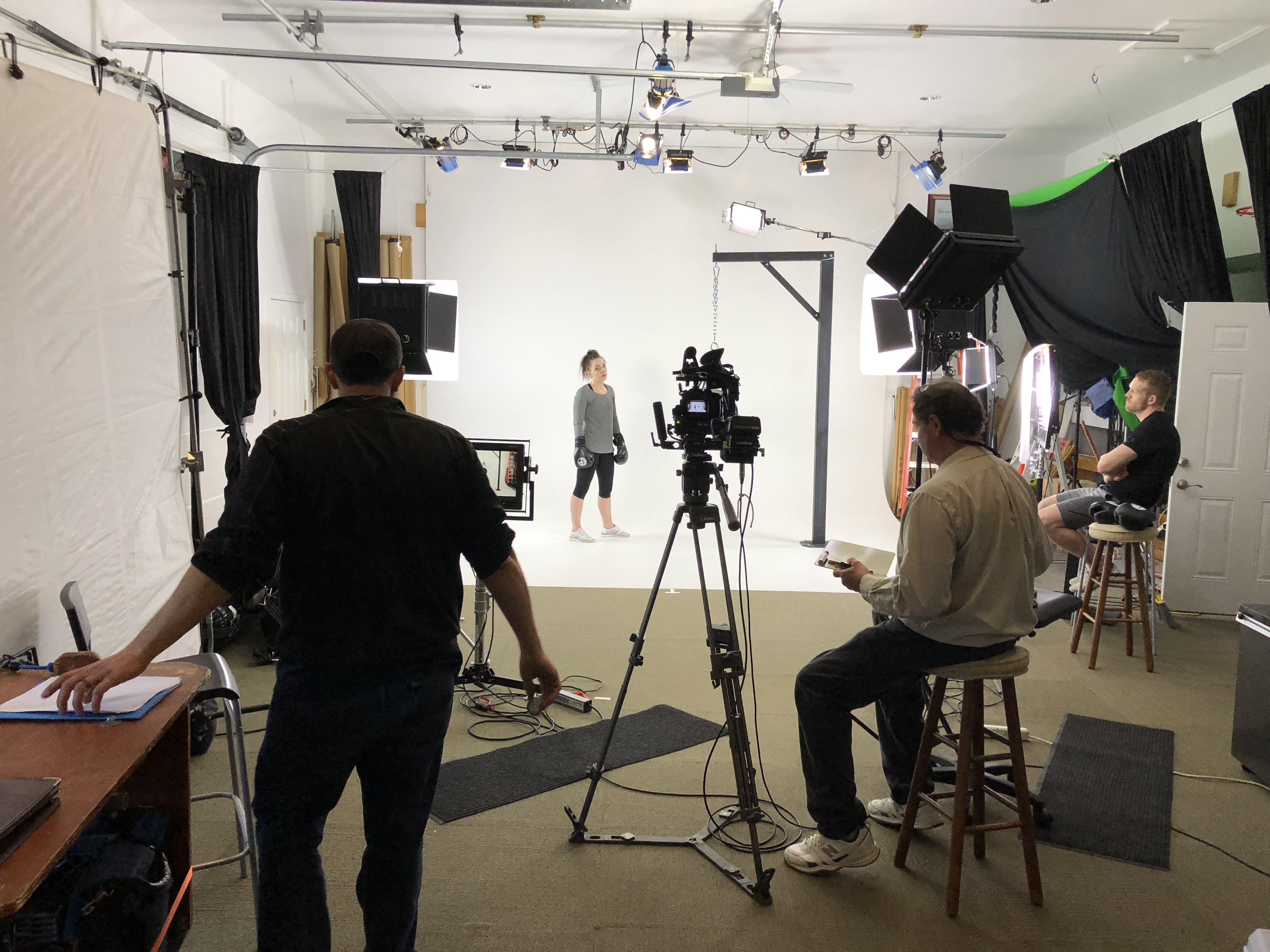
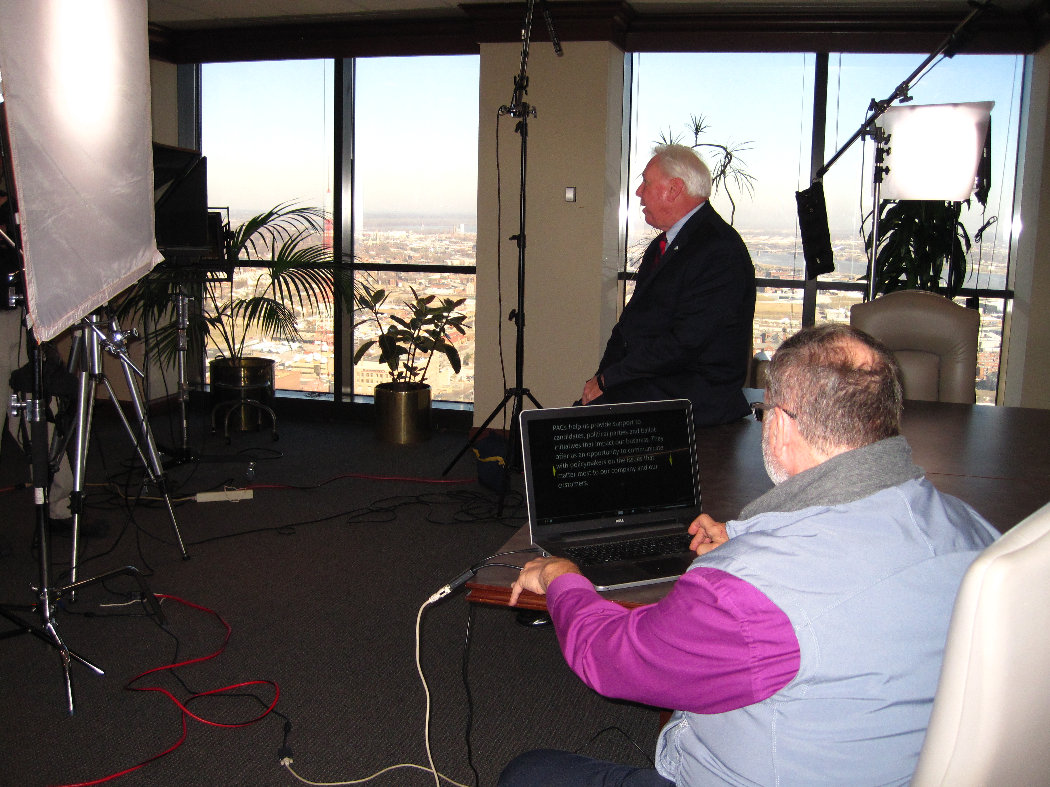
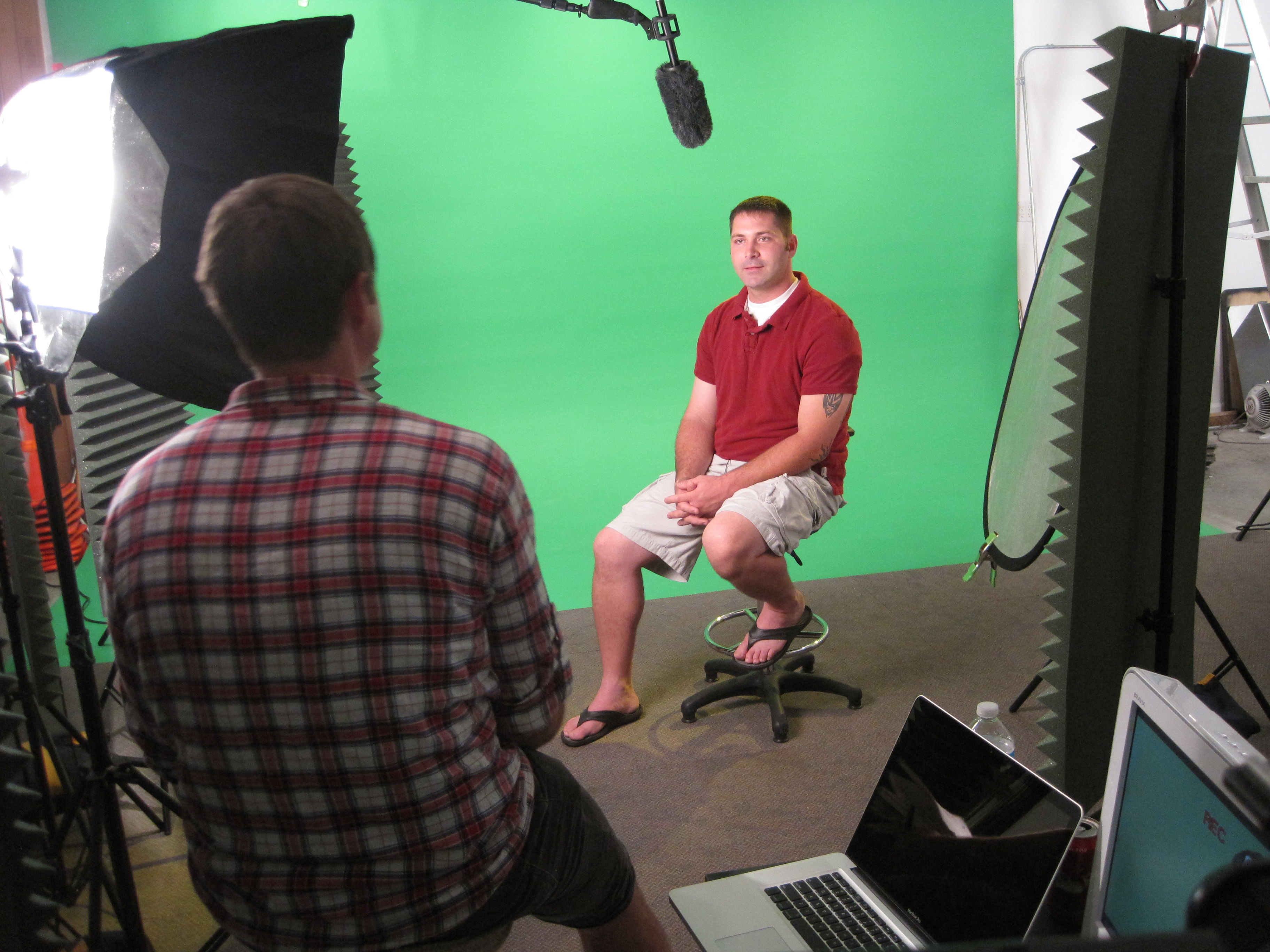
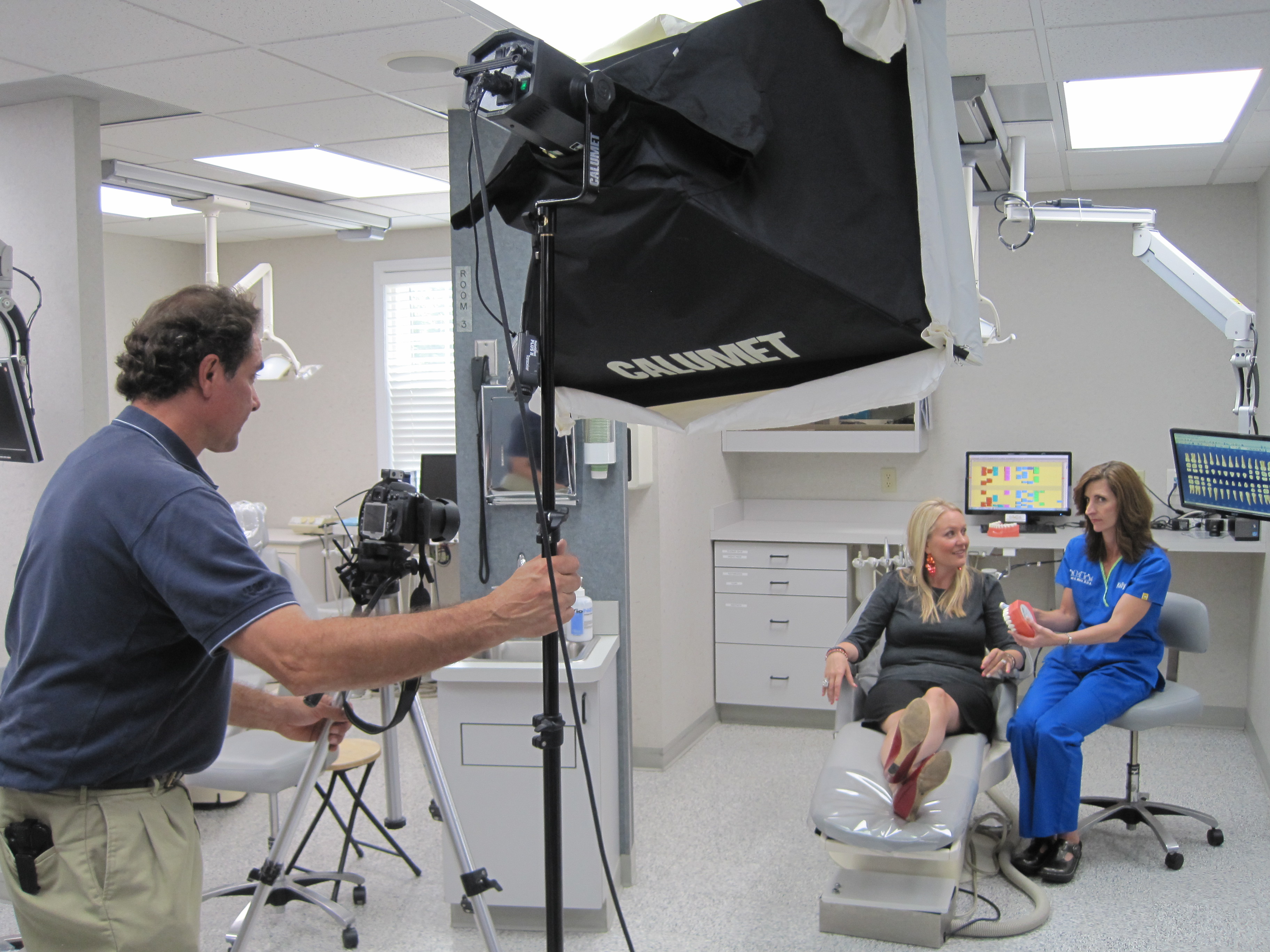
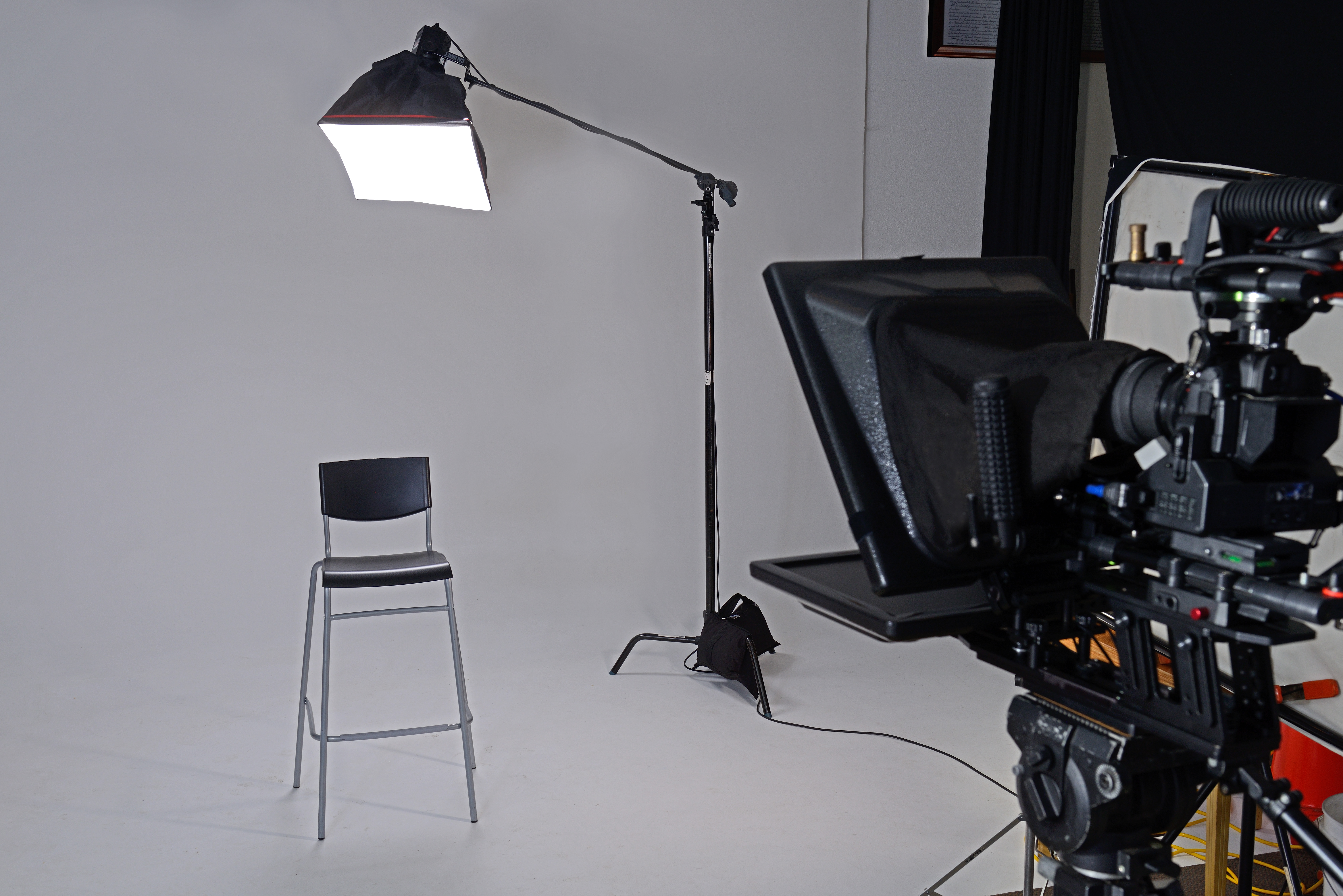
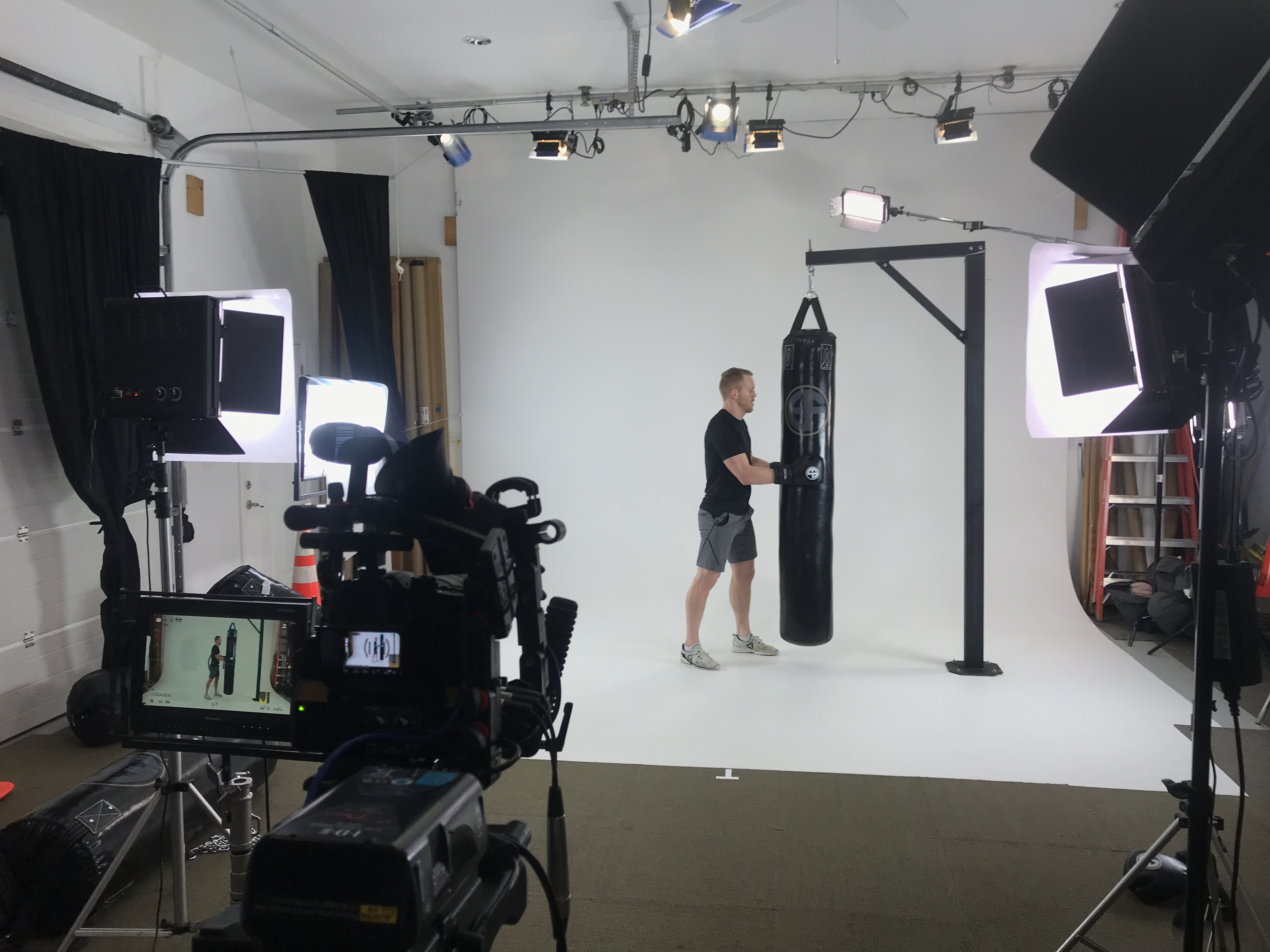
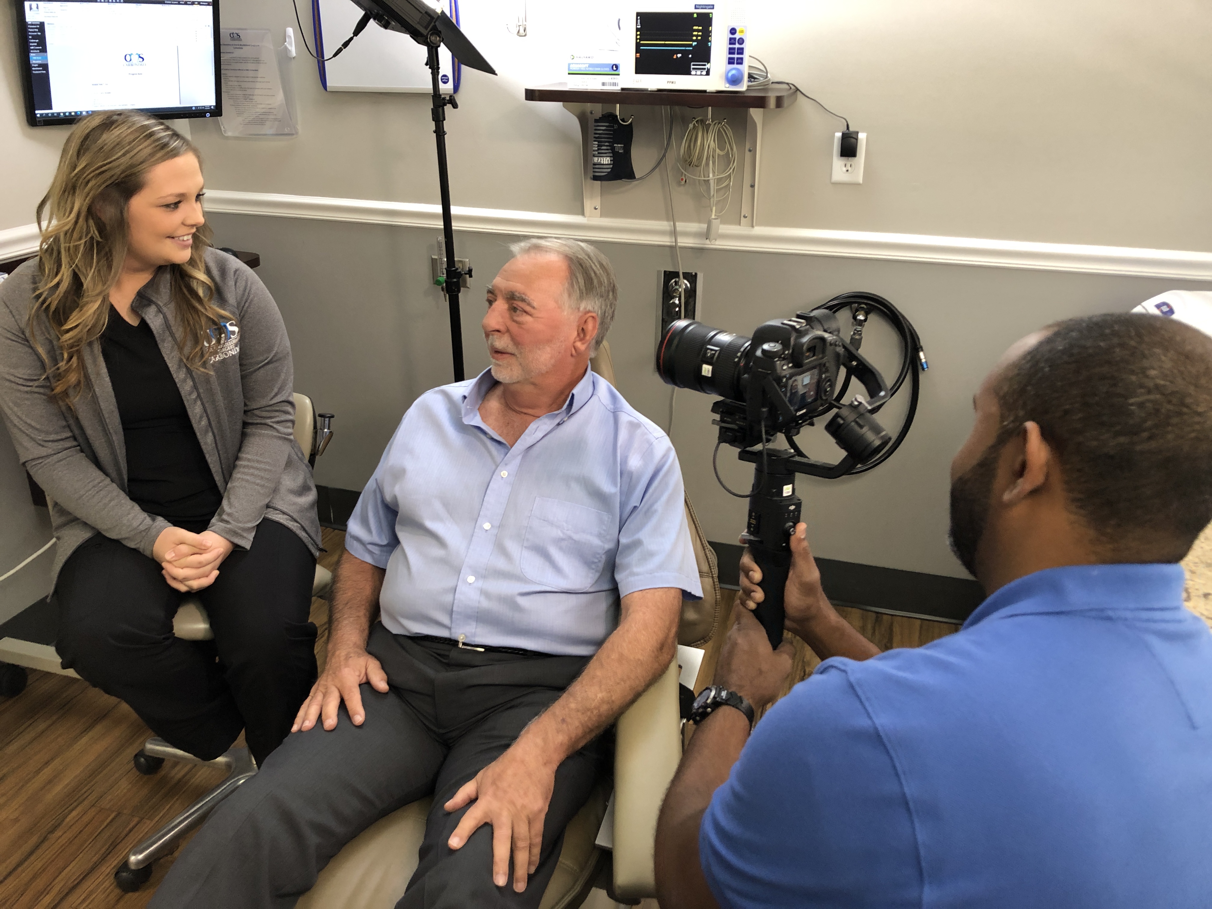
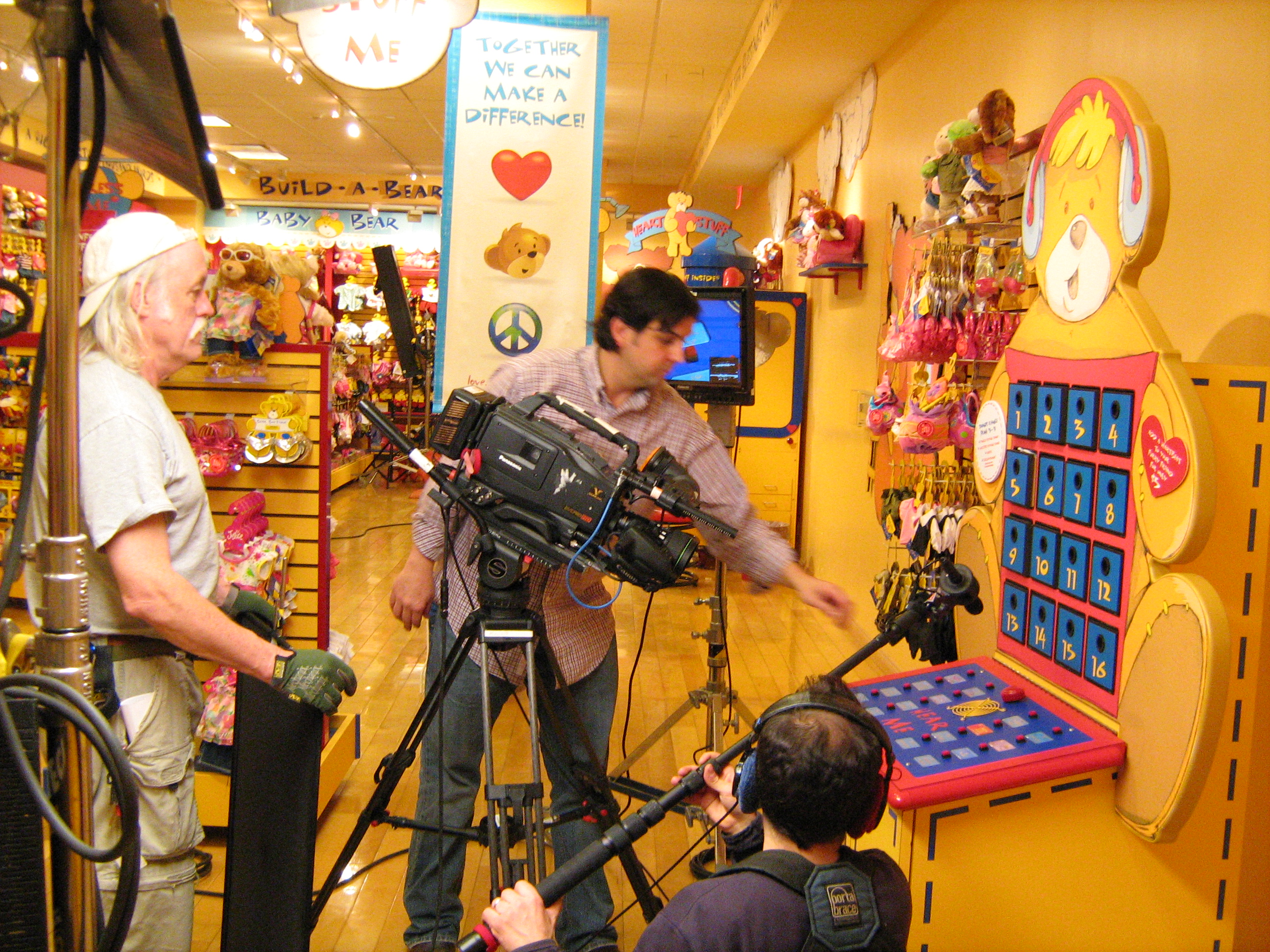
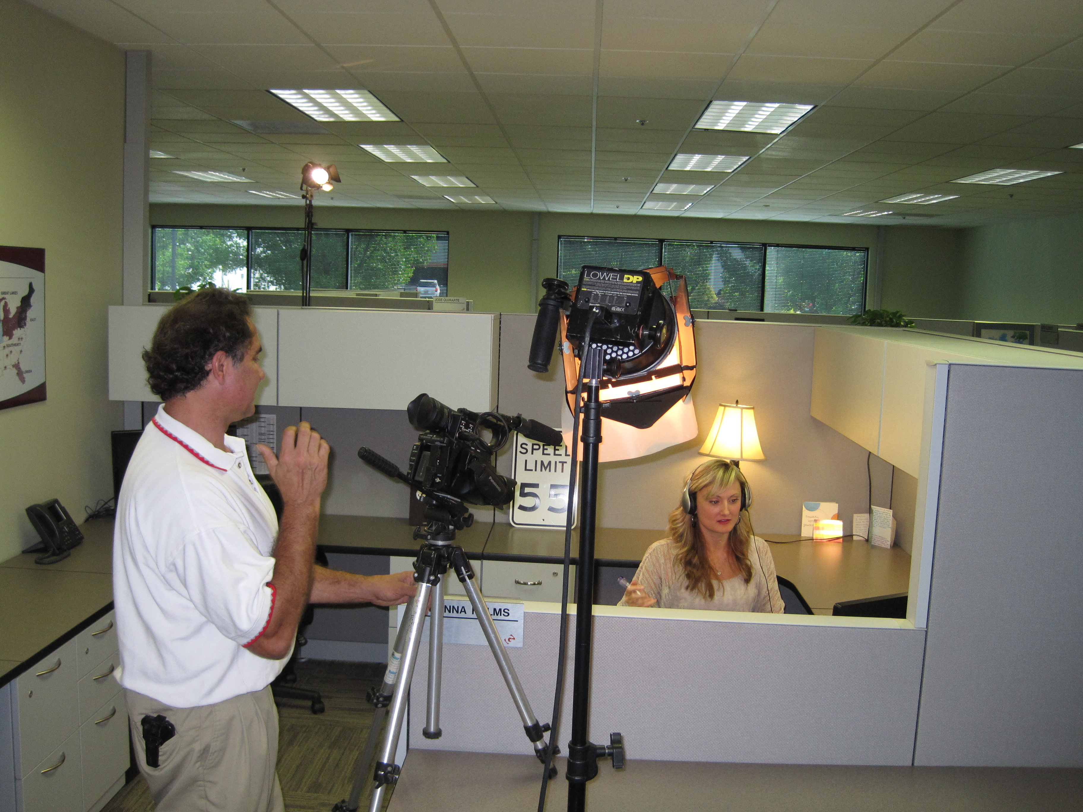
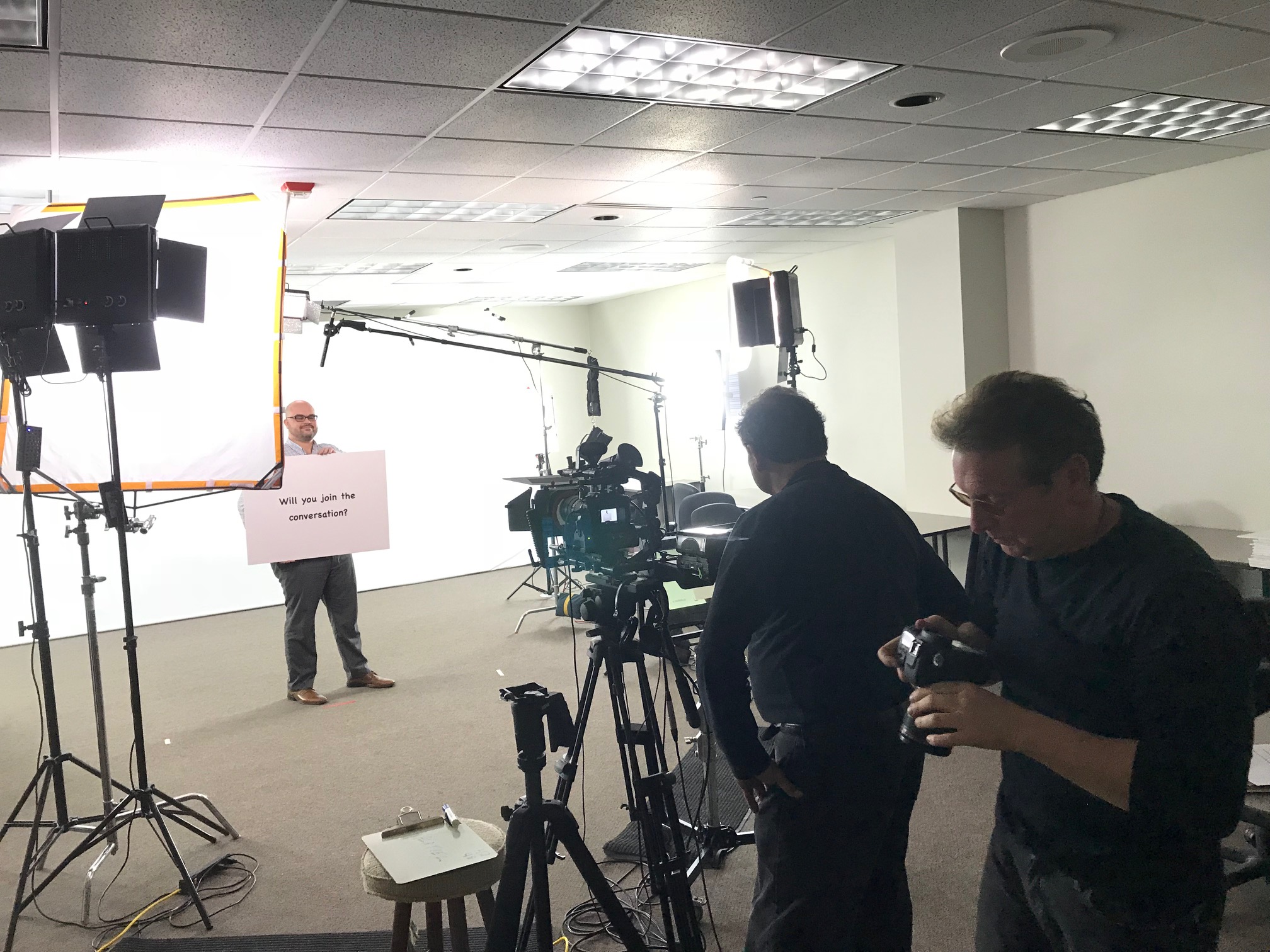
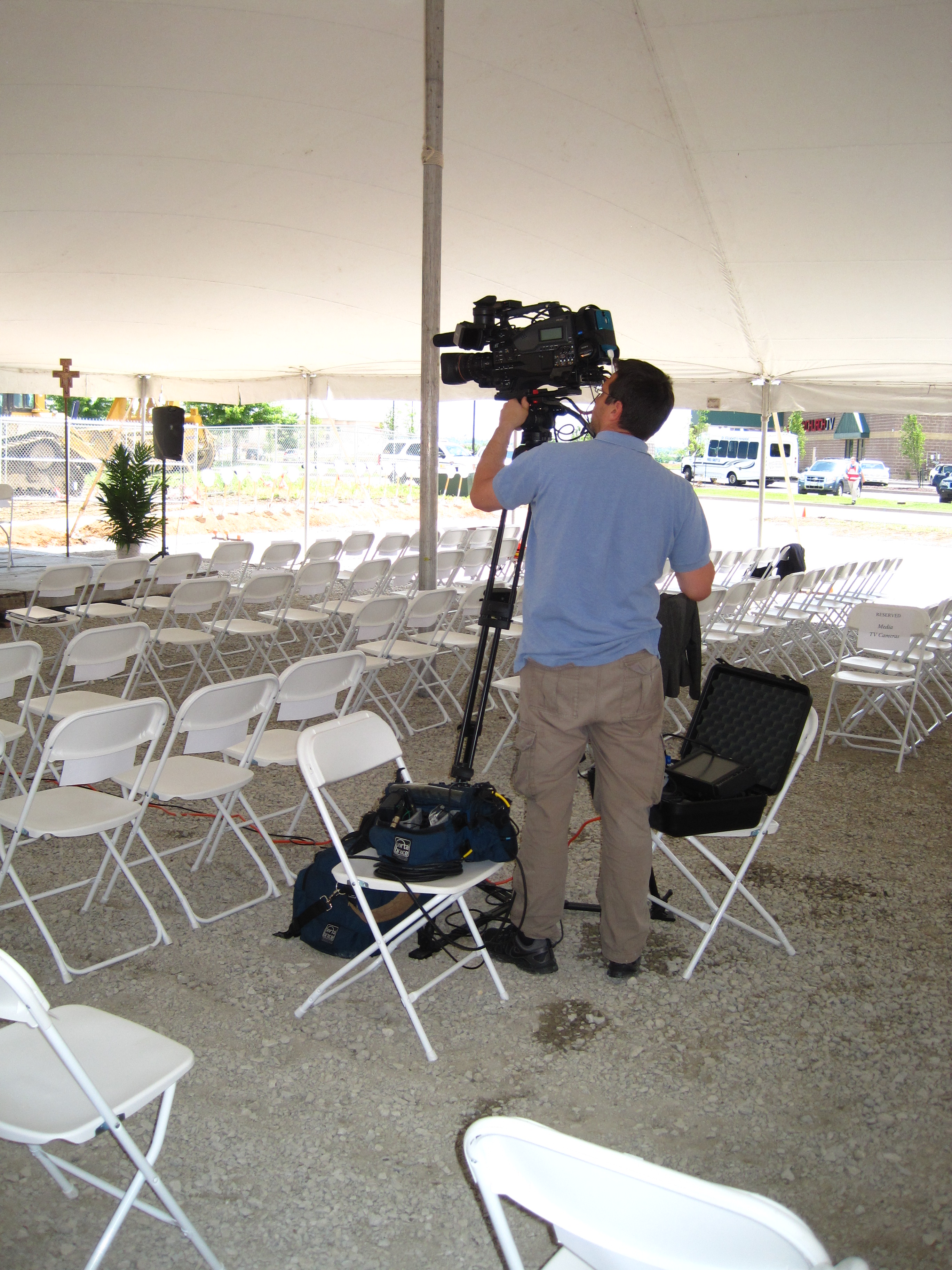
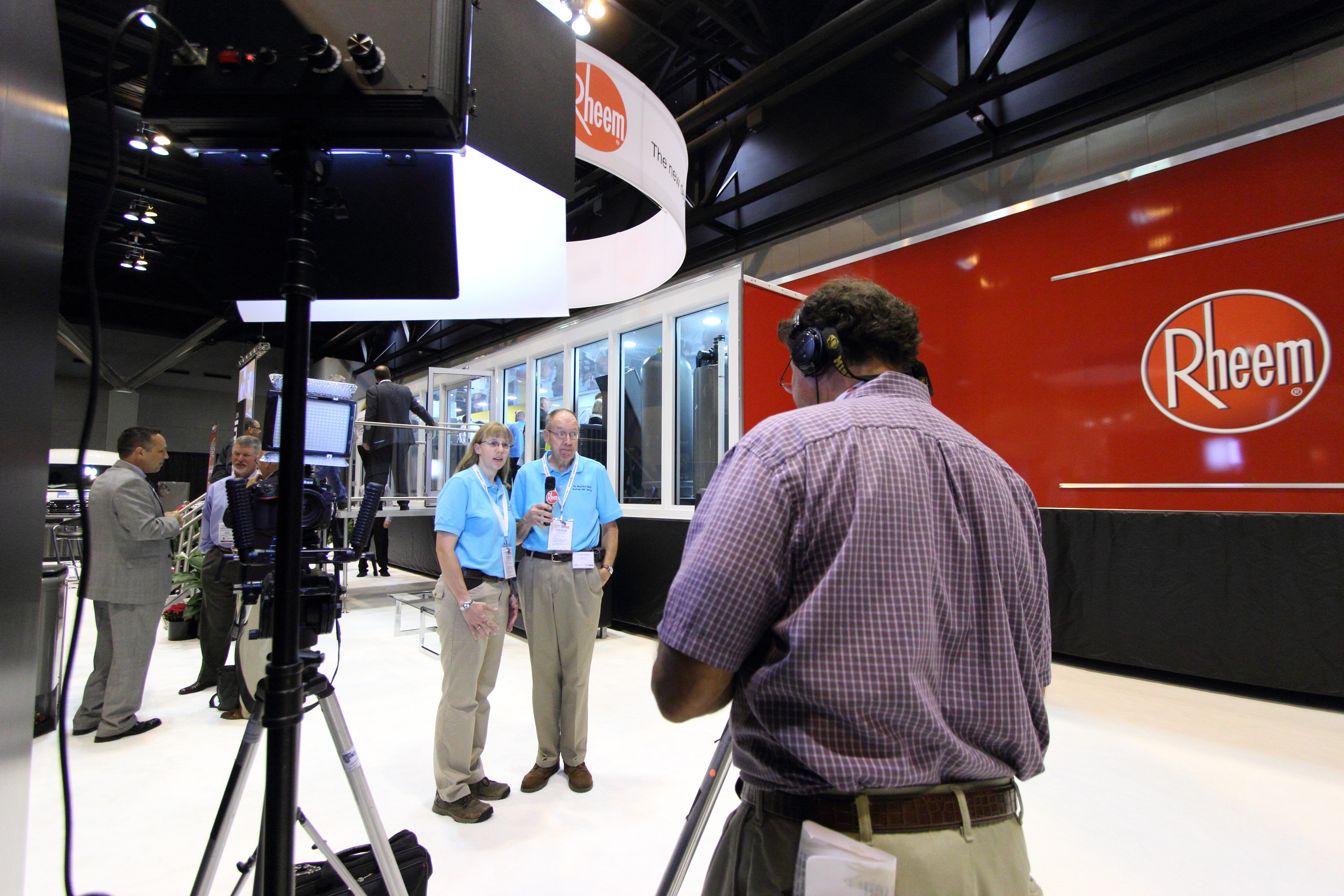
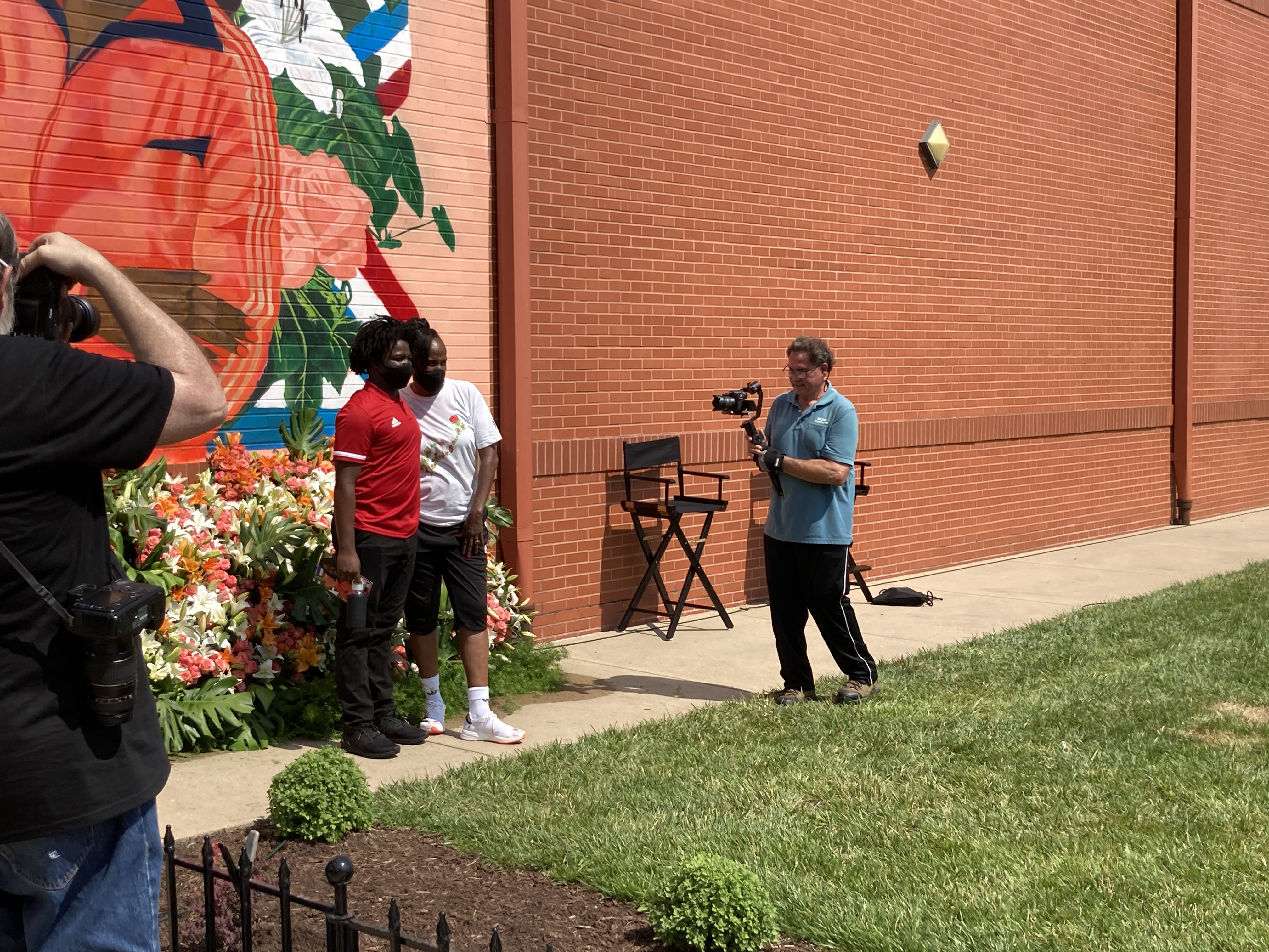
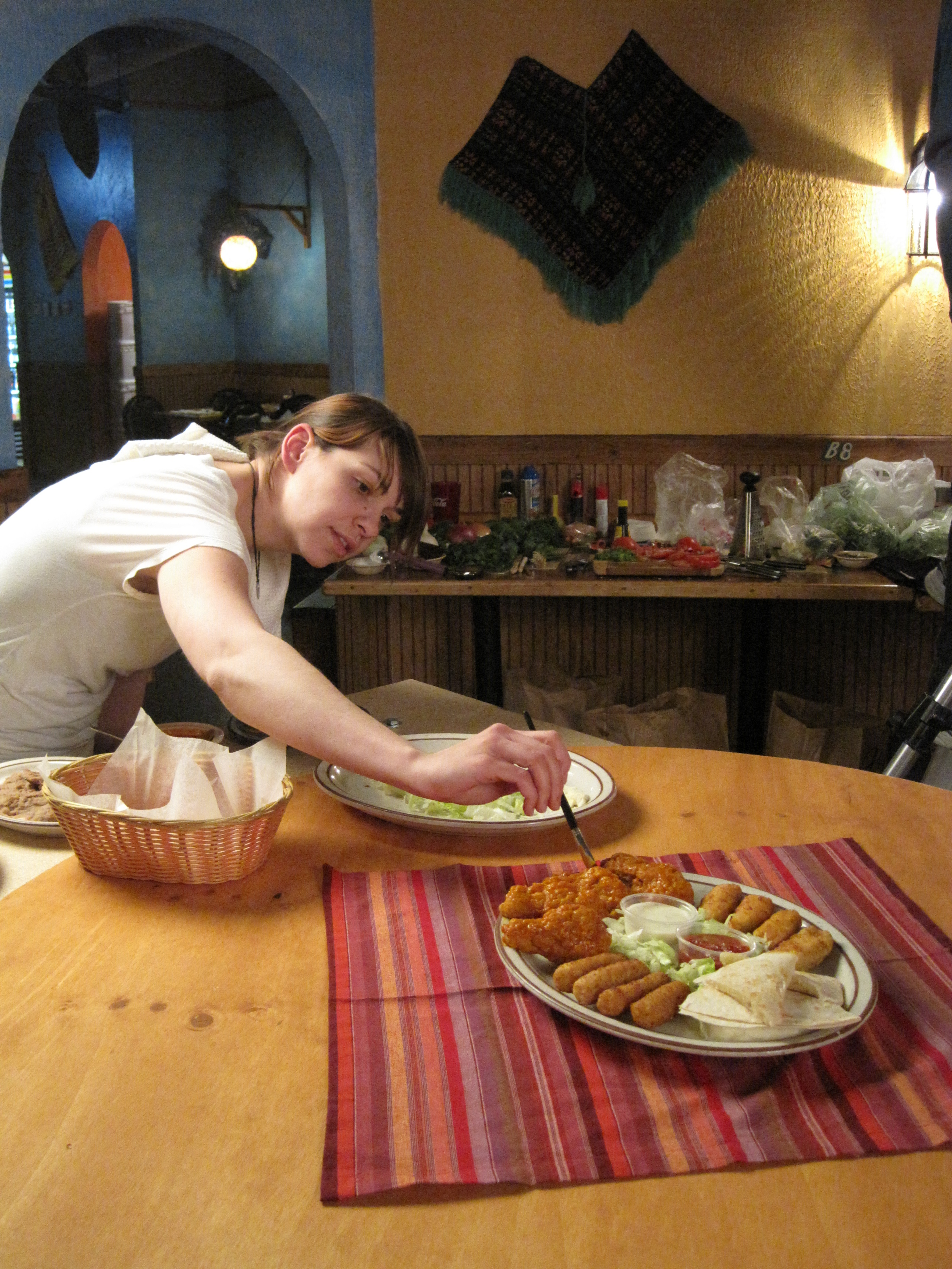
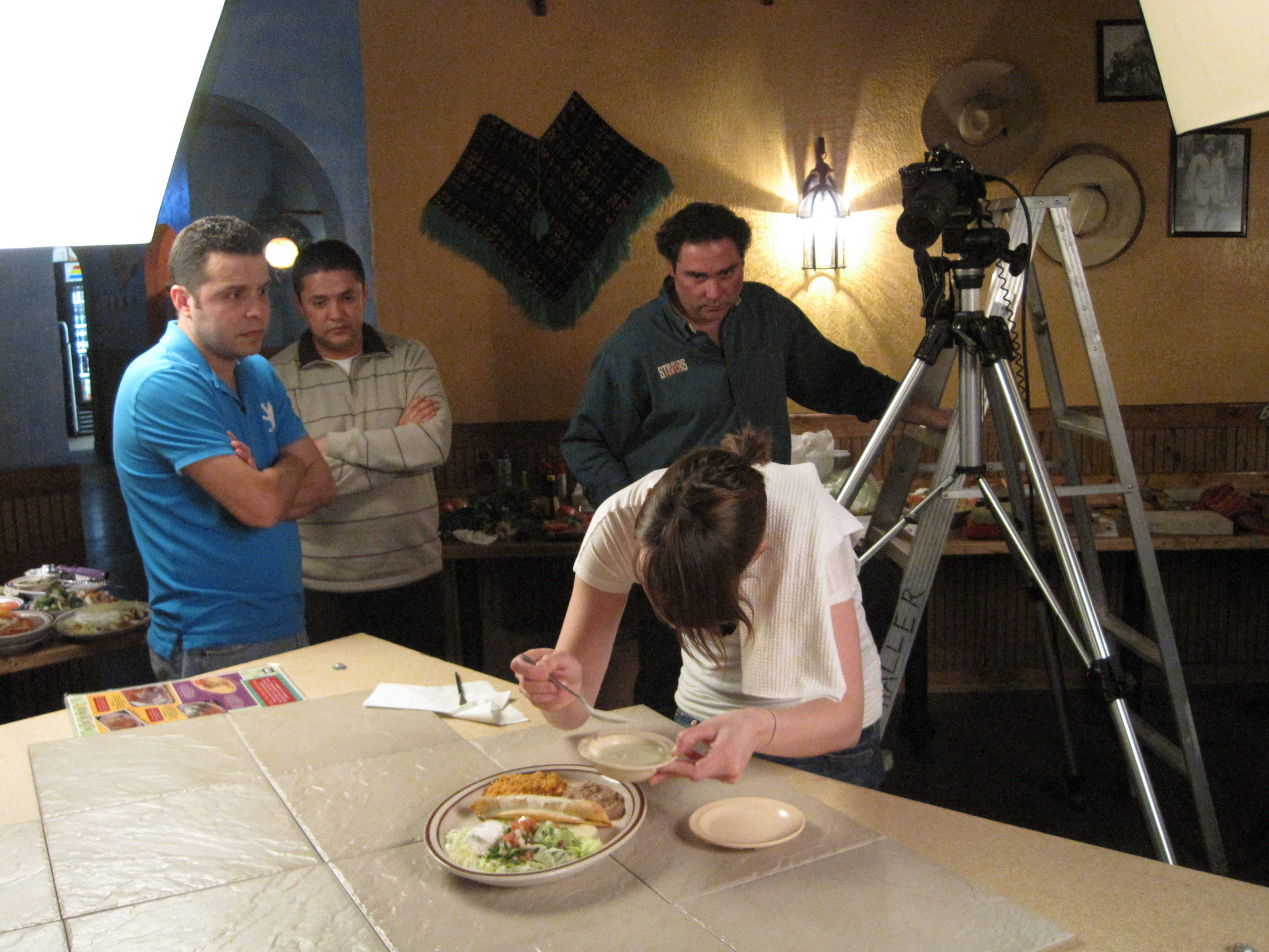
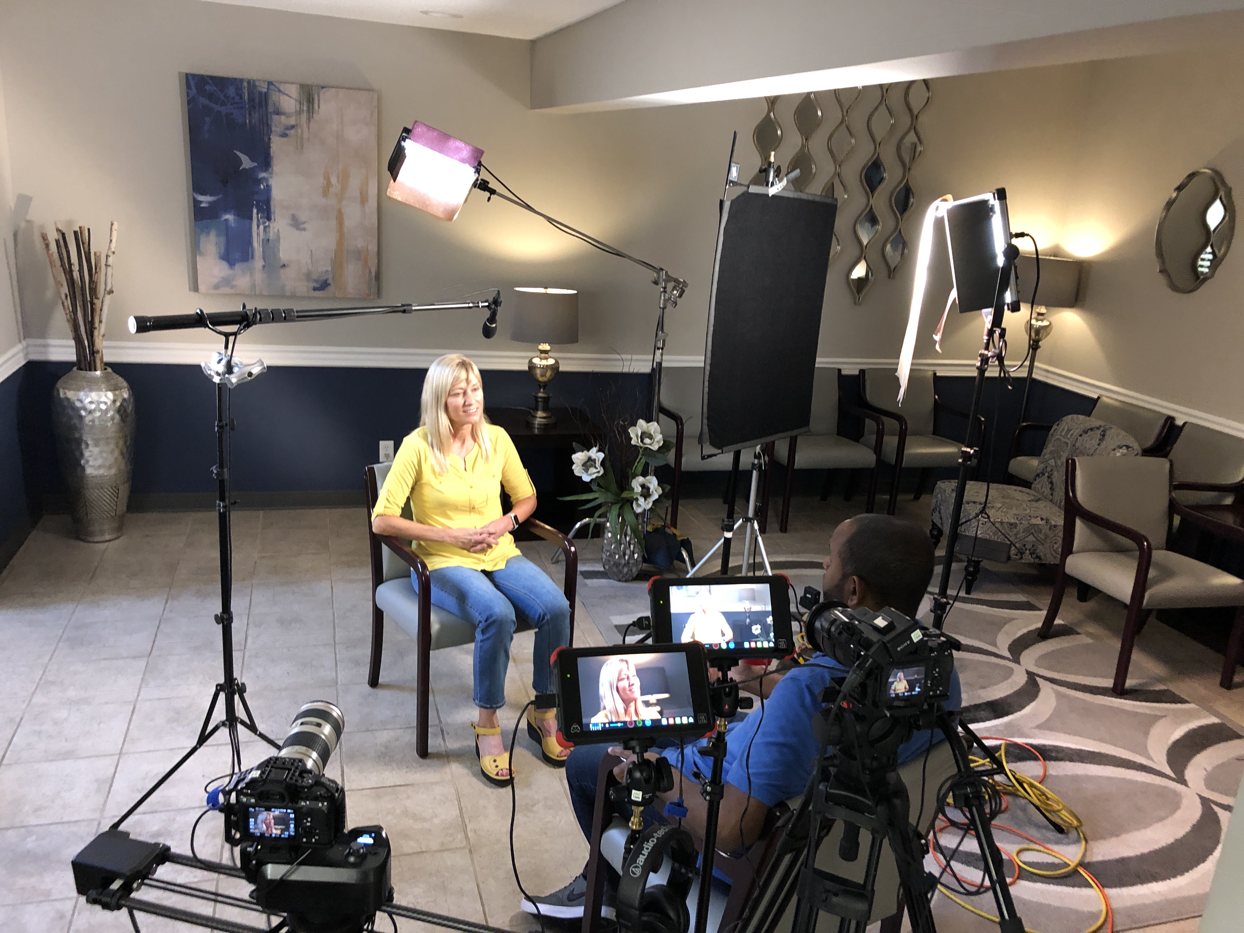
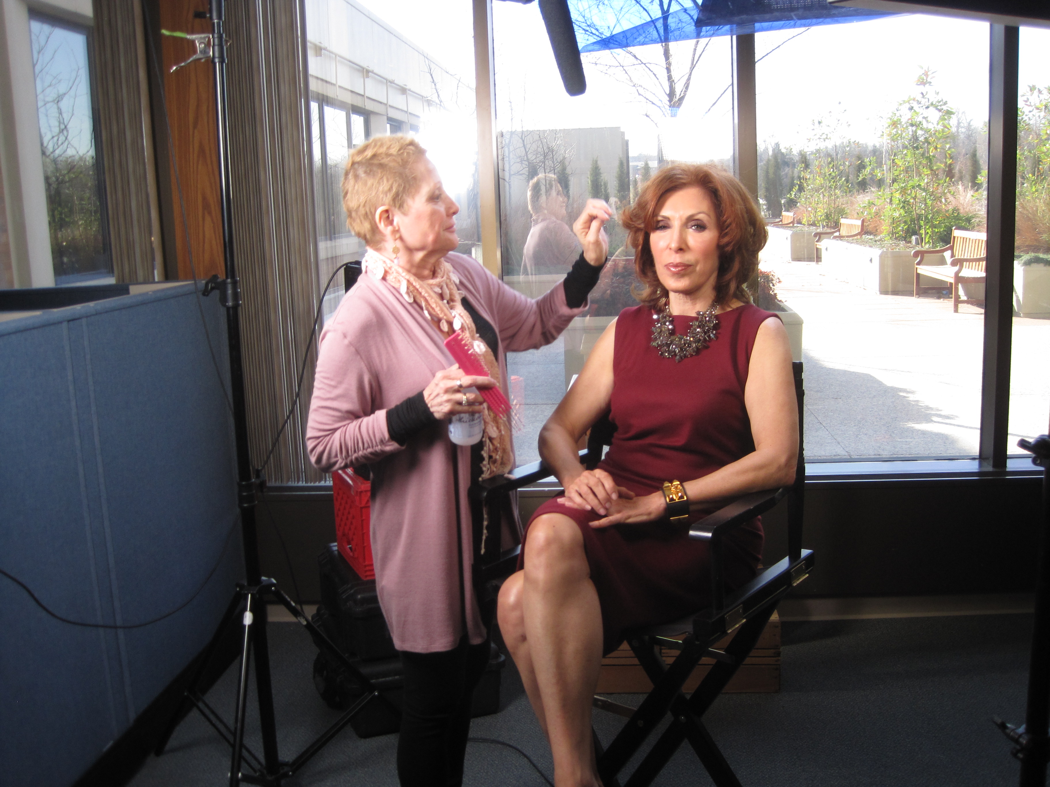
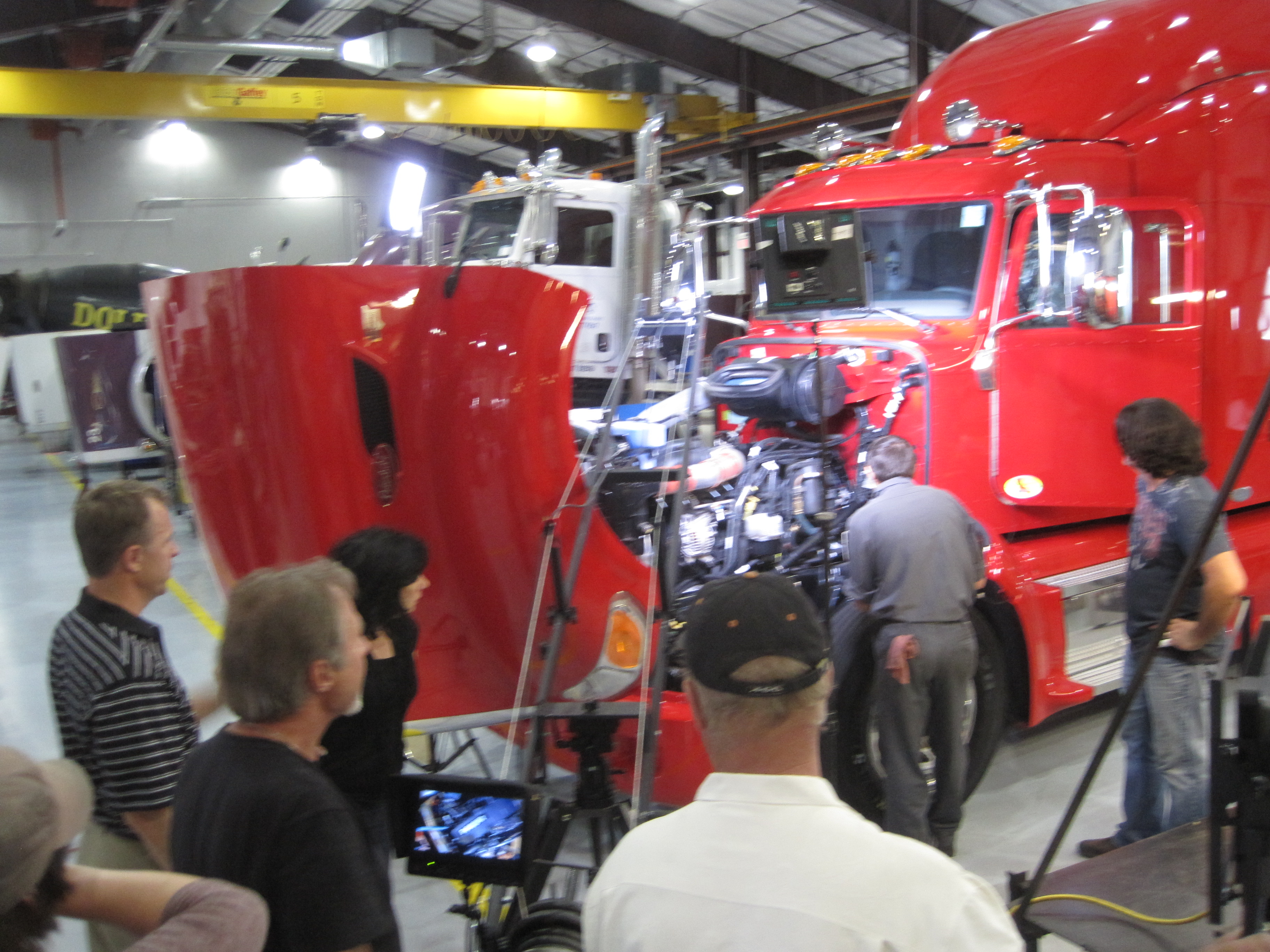
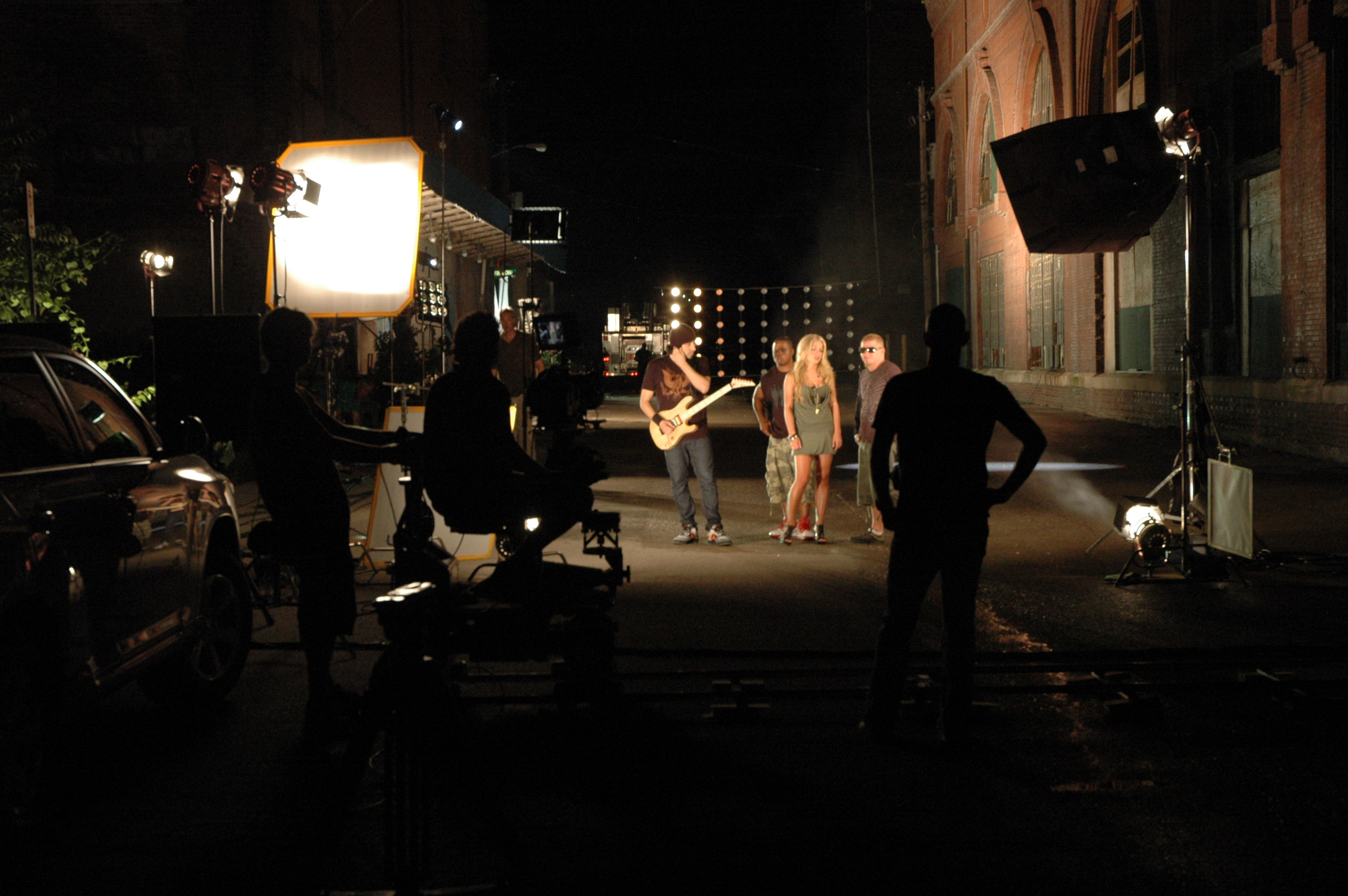
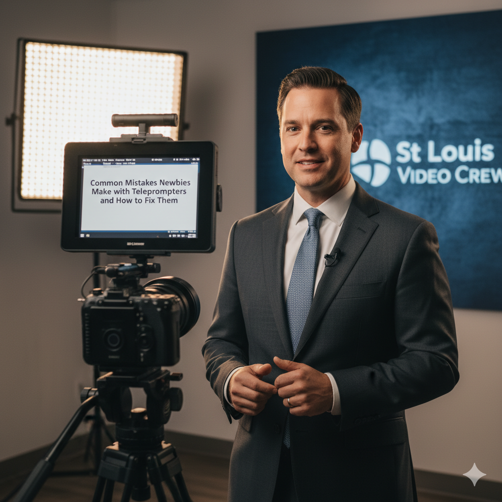
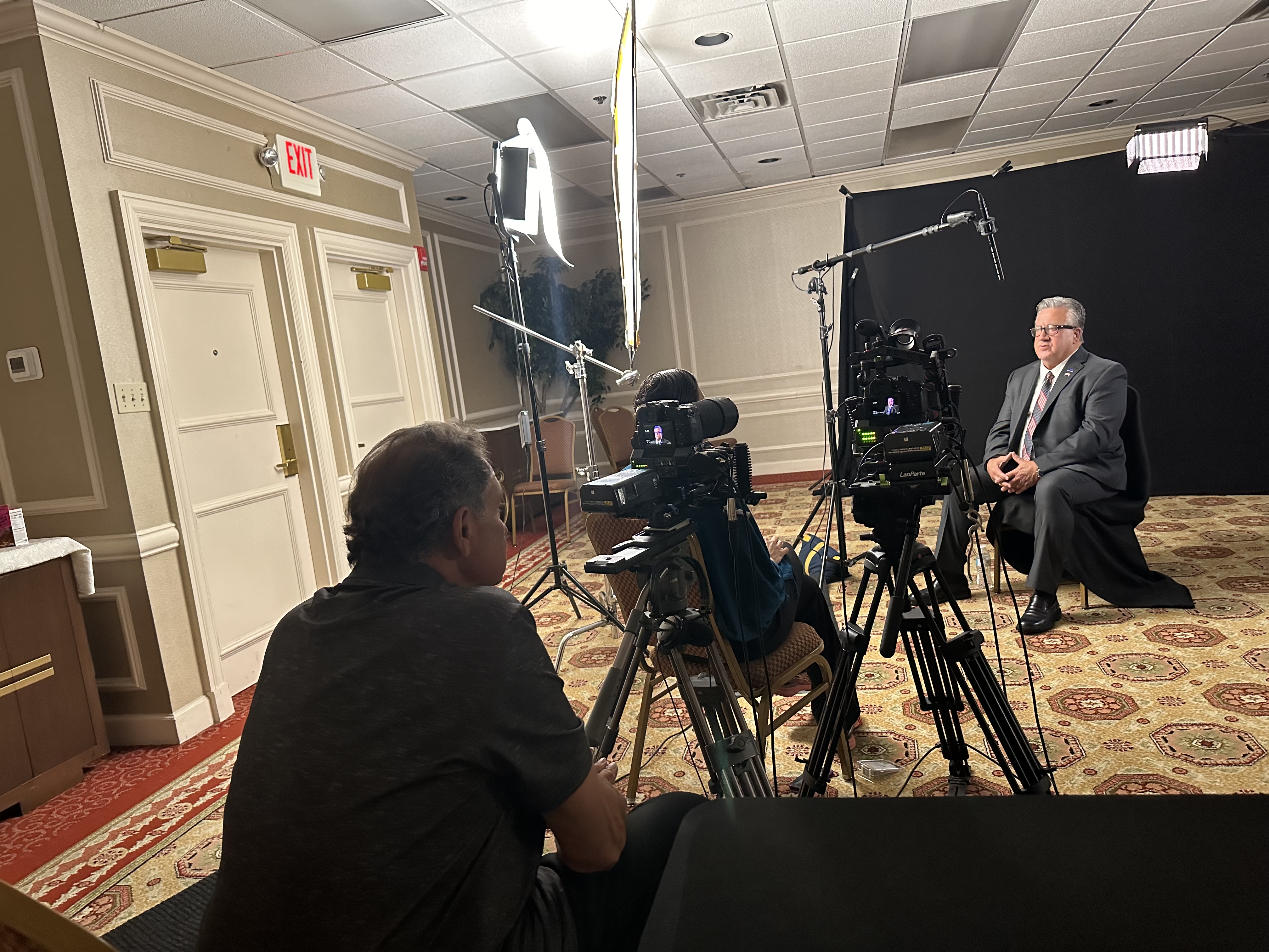
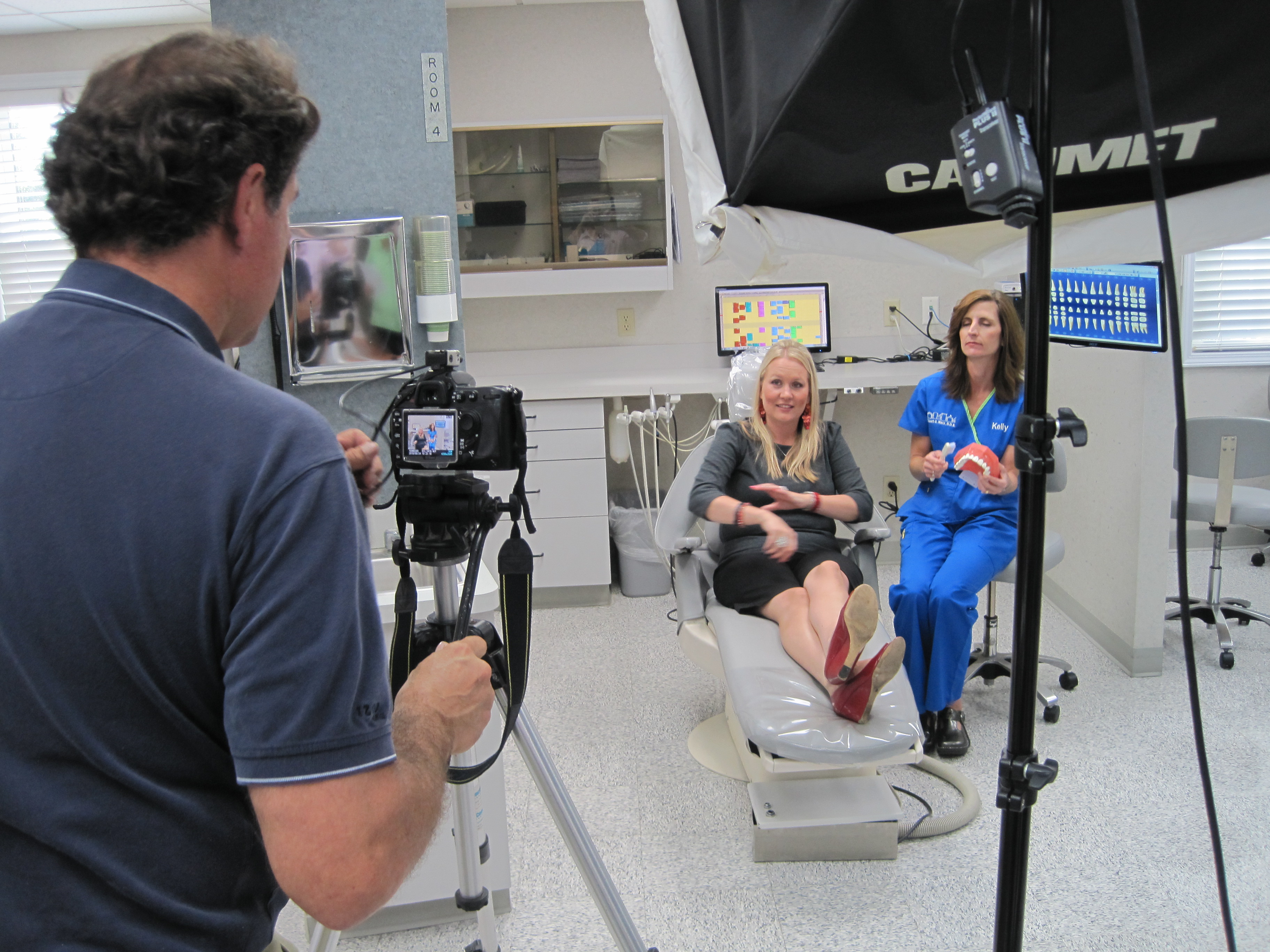
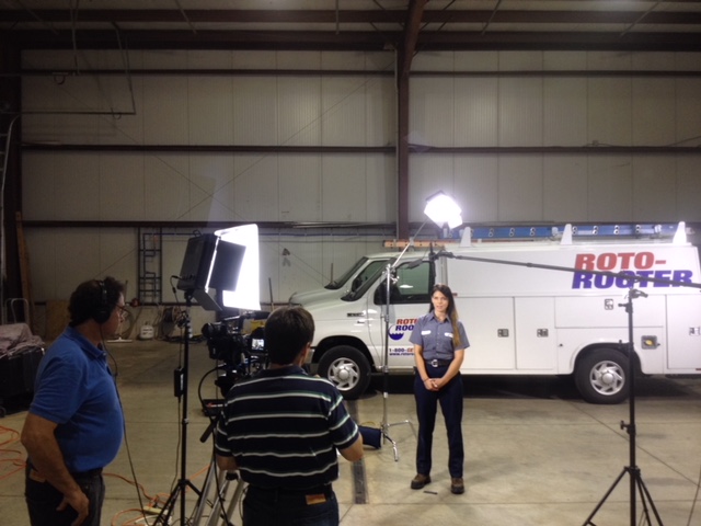
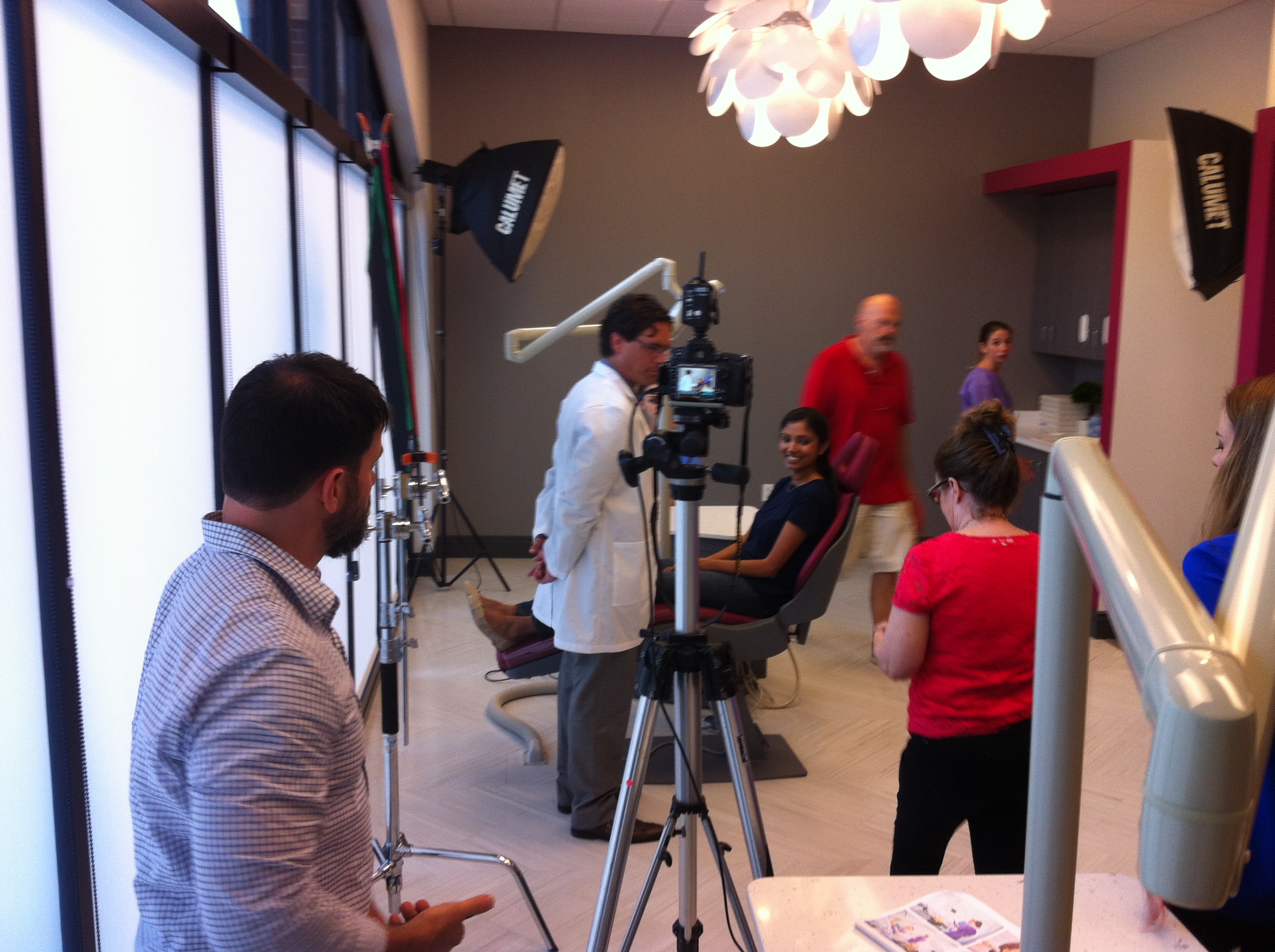
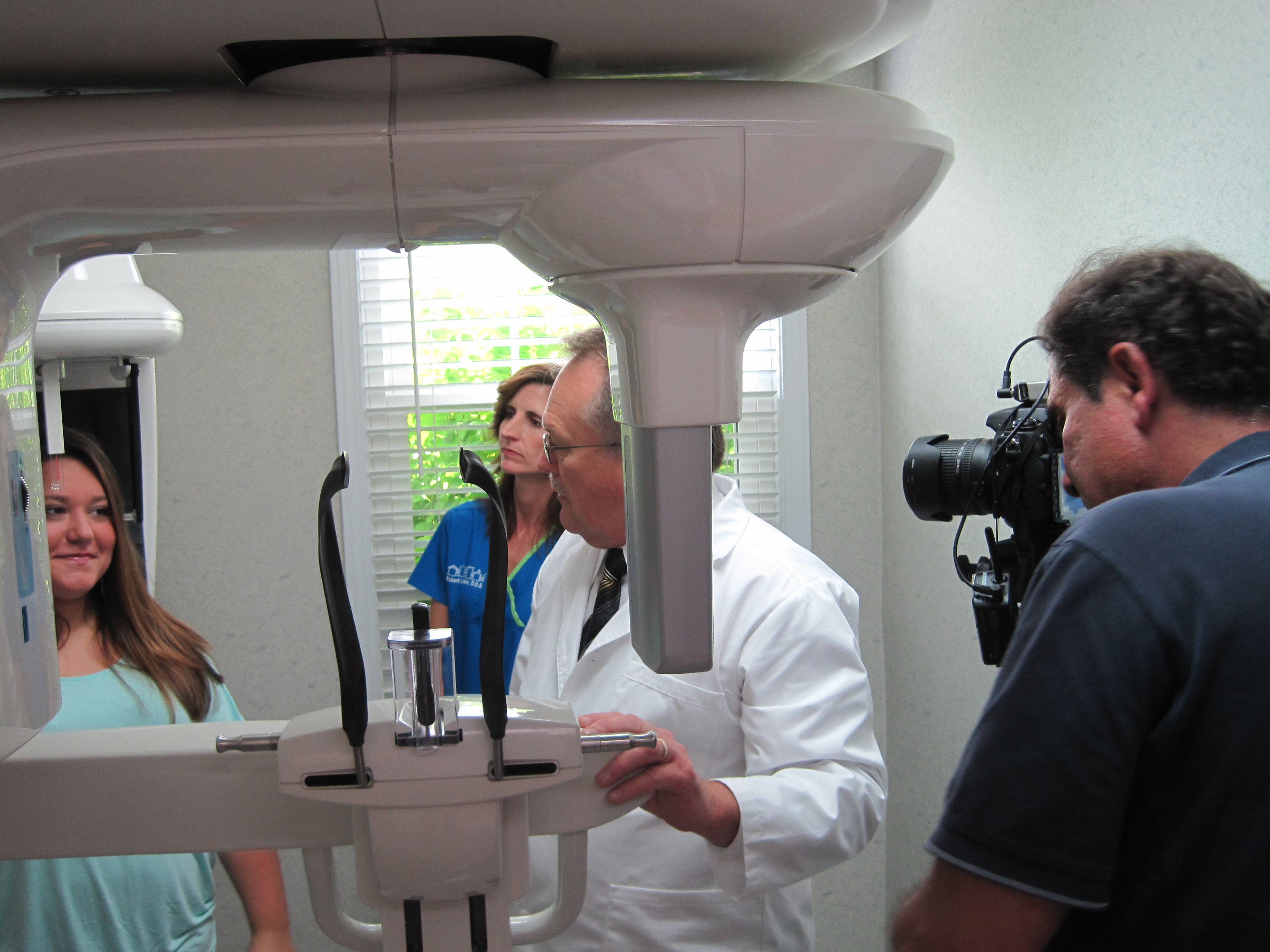
The most significant expense in commercial media production is often the time spent setting up and breaking down equipment. By utilizing a hybrid studio workflow, a professional media team can capture high-resolution ERAS headshots and record high-definition video clips during the exact same session slot. While the subject is positioned under professional portrait lighting, transitioning to a brief video interview or a quick “meet the resident” clip takes only moments, slashing per-capita production costs.
2. Repurposing Media Assets
Do not view an ERAS shoot as a single-use project. High-quality photography and video branding captured during these sessions can be intelligently repurposed across multiple platforms:
- Hospital internal directories and intranet systems.
- Graduate Medical Education website updates and program landing pages.
- Social media spotlight campaigns on LinkedIn and Instagram.
- Print brochures and digital recruitment presentations.
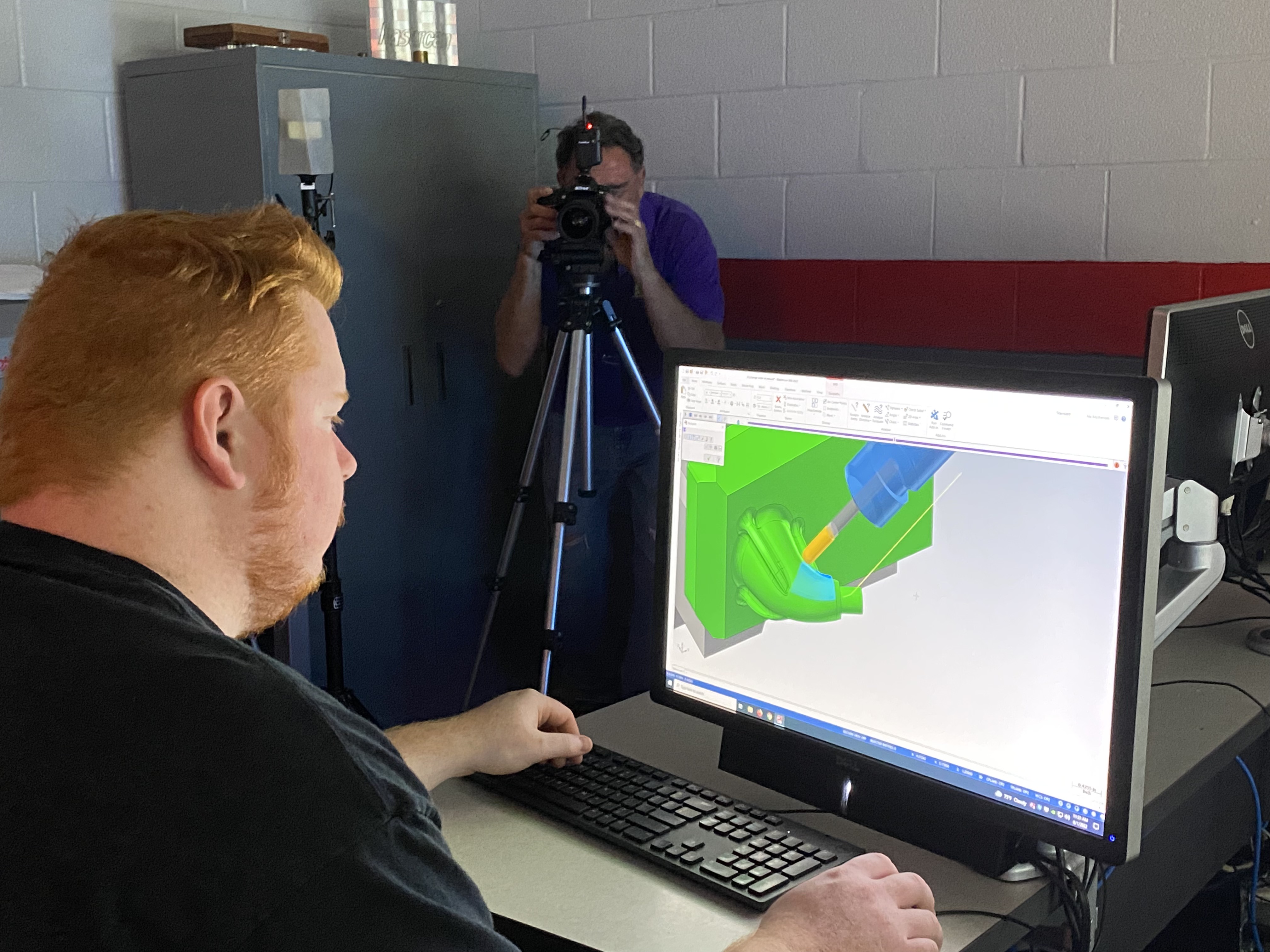
3. Streamlined Post-Production via Advanced Workflows
Post-production can quickly become a bottleneck that drives up costs. By partnering with a production team that leverages the latest in Artificial Intelligence (AI) for automated color grading, background standardization, and audio cleaning, turnaround times are drastically reduced, saving hours of costly manual labor.

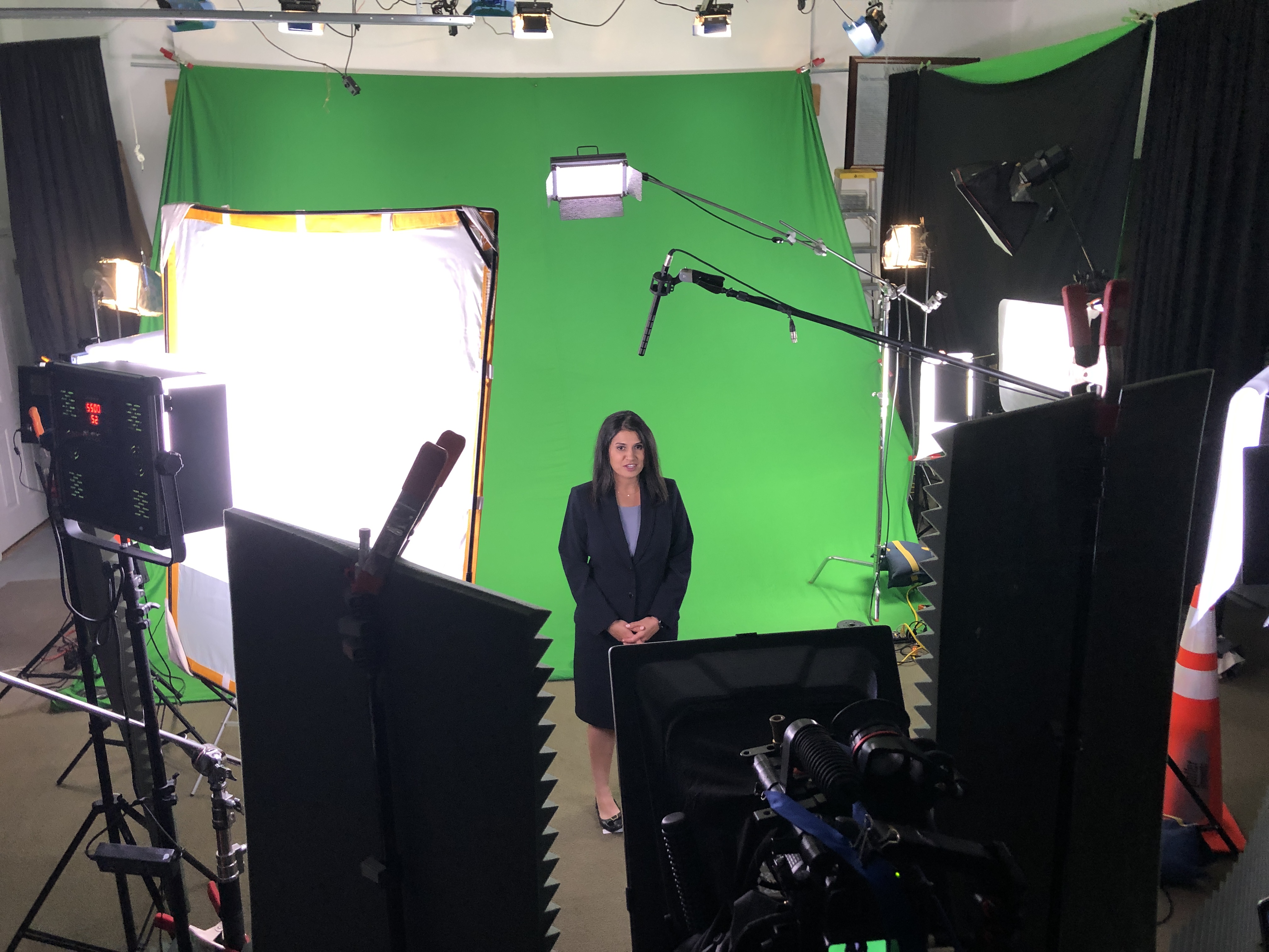
Technical Specifications: ERAS vs. Digital Video Clips
To maintain peak efficiency, your production partner must be well-versed in the precise file types, software, and styles required by modern medical media platforms. Here is how to approach each format cleanly without overcomplicating your shoot day:
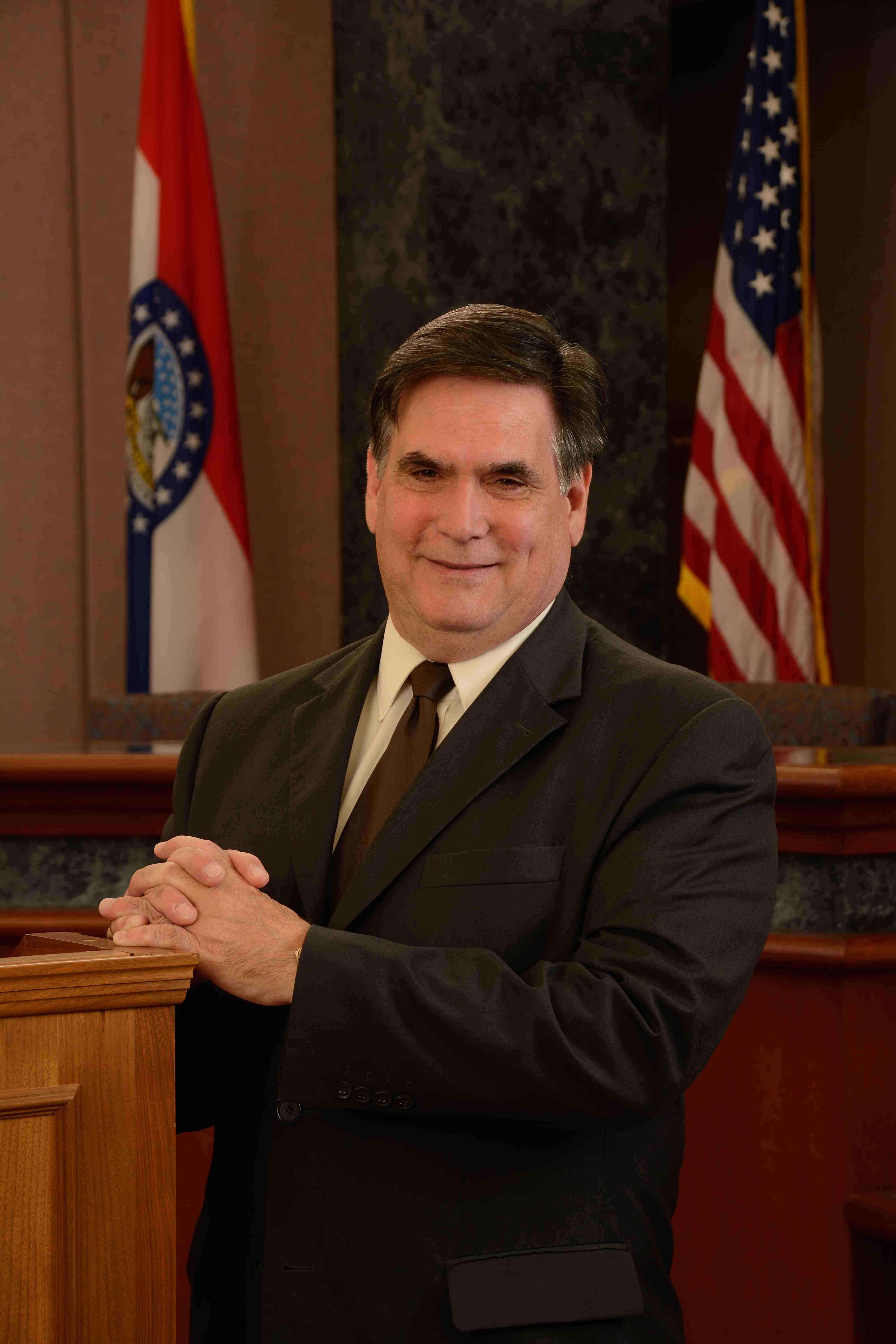
ERAS Headshots
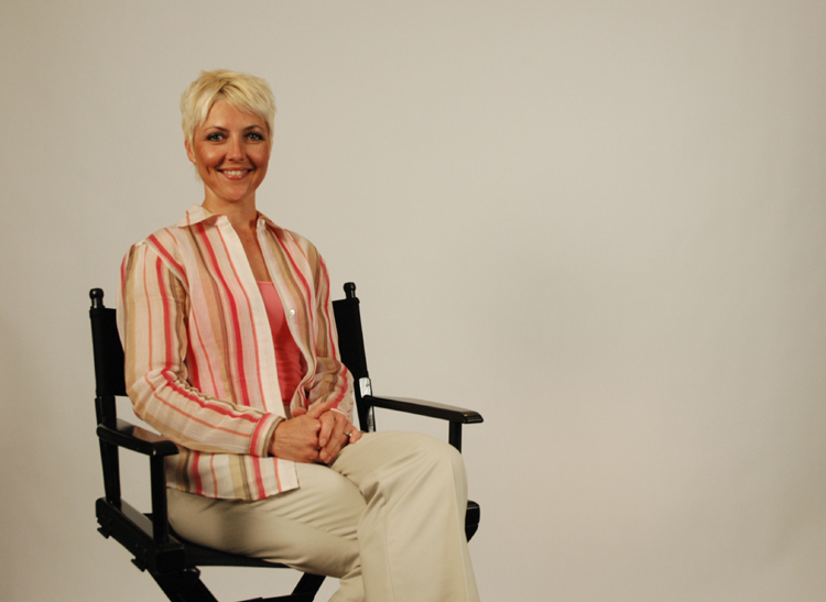
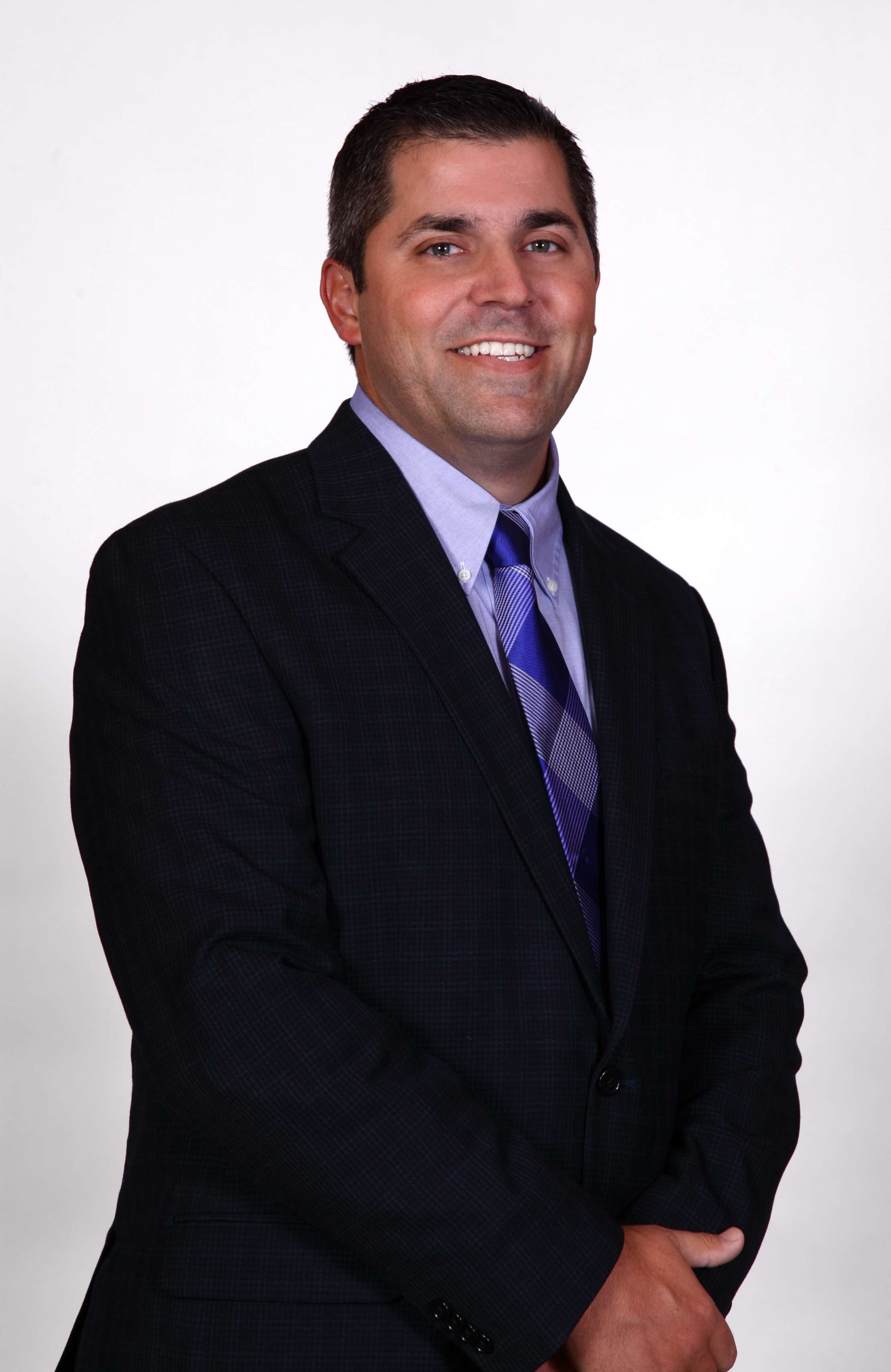
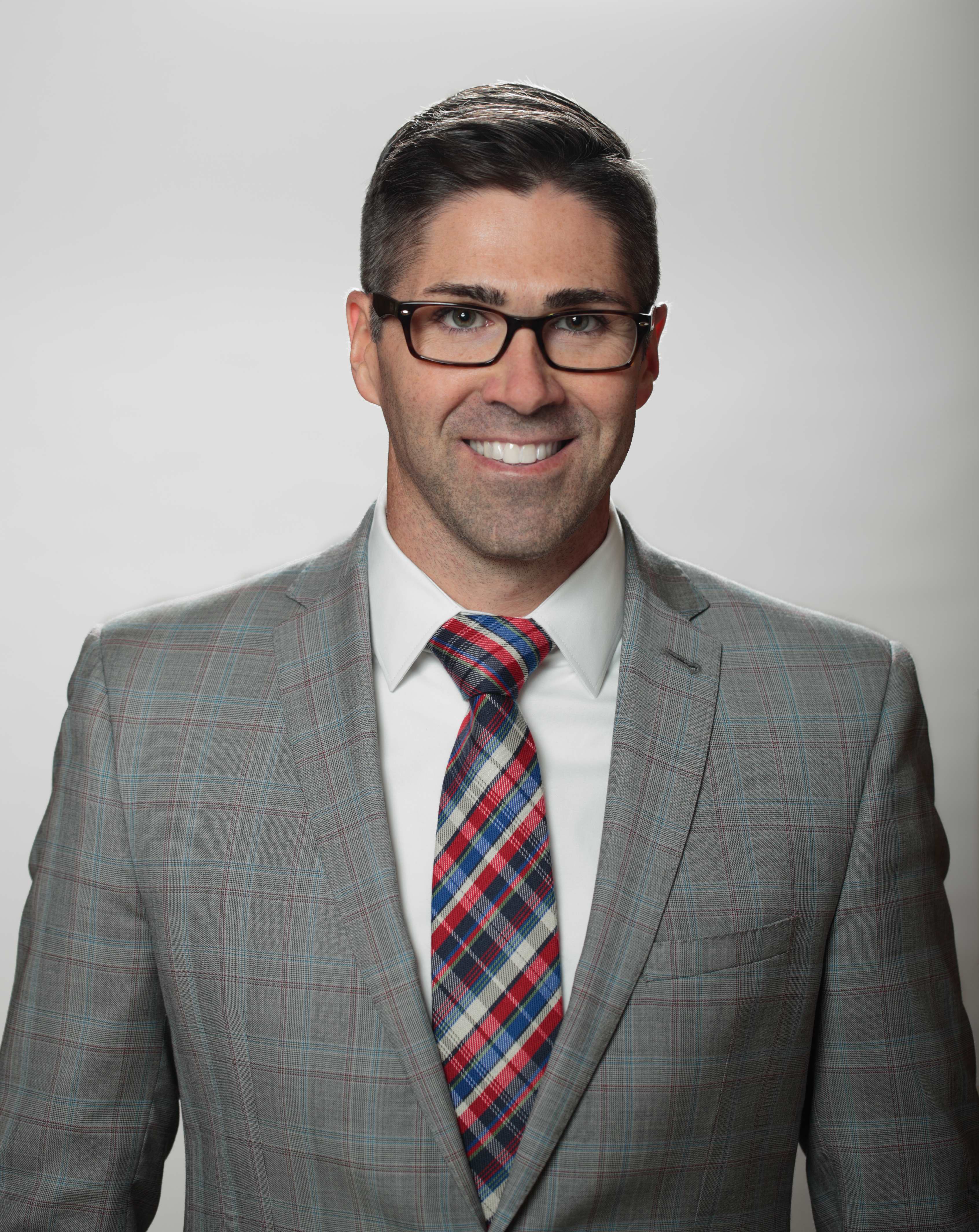
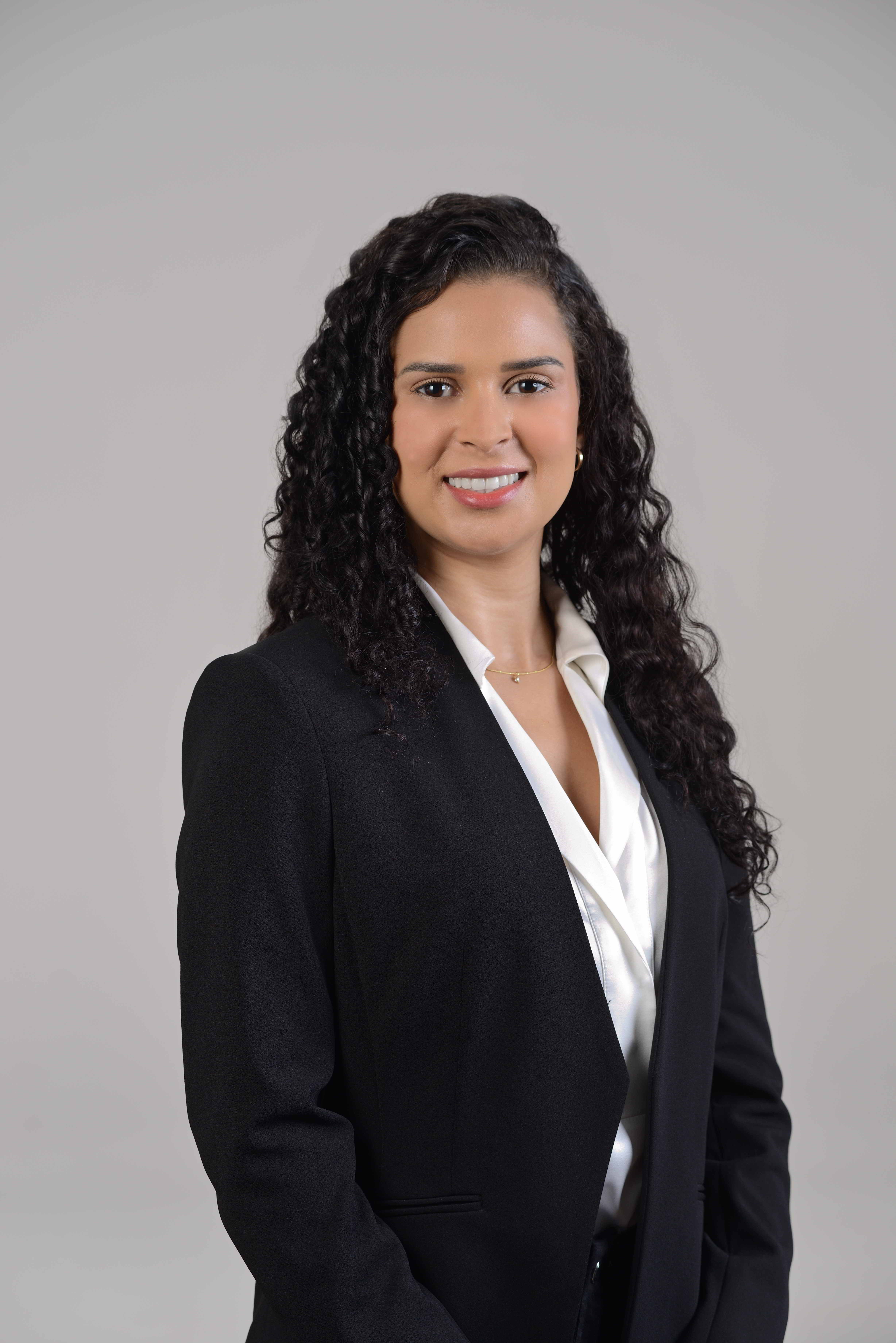
- The Standards: Requires a 2.5 x 3.5-inch image with a light gray or white background, strictly framed from the shoulders up.
- Efficiency Best Practice: Capture these on a high-resolution digital format. This allows for flexible cropping during post-production so the exact same asset can be utilized for both official ERAS submission and standard hospital ID badges.
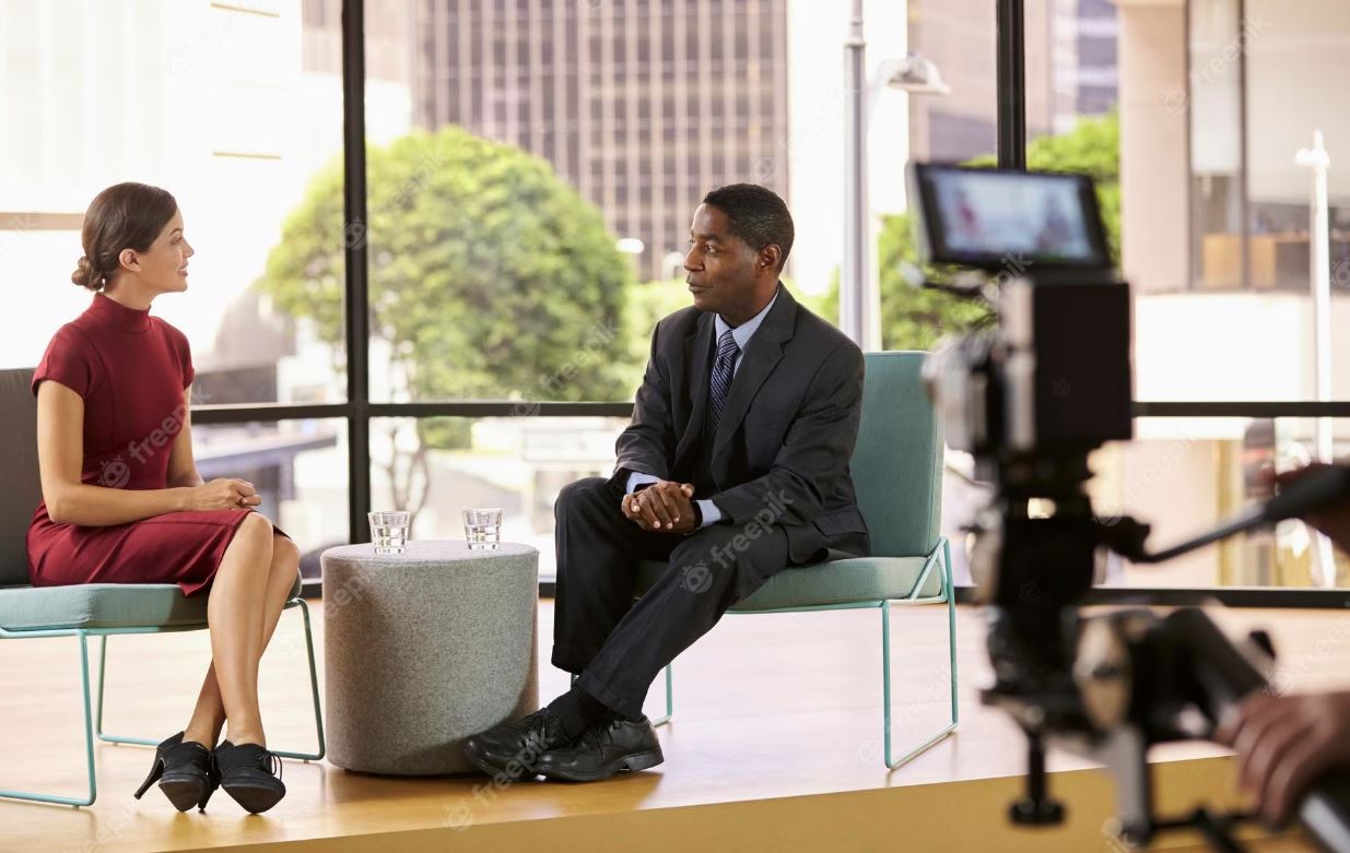
Program Video Clips
- The Standards: Requires clean 1080p or 4K resolution with clear, crisp audio and a properly balanced ambient soundscape.
- Efficiency Best Practice: Record in a highly controlled acoustic environment. Managing background noise during the live shoot eliminates the need for time-consuming and expensive audio fixes in post-production editing.
Social Snippets and Shorts
- The Standards: Requires a vertical 9:16 format with concise, high-impact messaging kept under 60 seconds.
- Efficiency Best Practice: Shoot horizontally in 4K resolution. This provides the editing team with enough pixel density to crop the video into a vertical format later without any loss in visual quality.
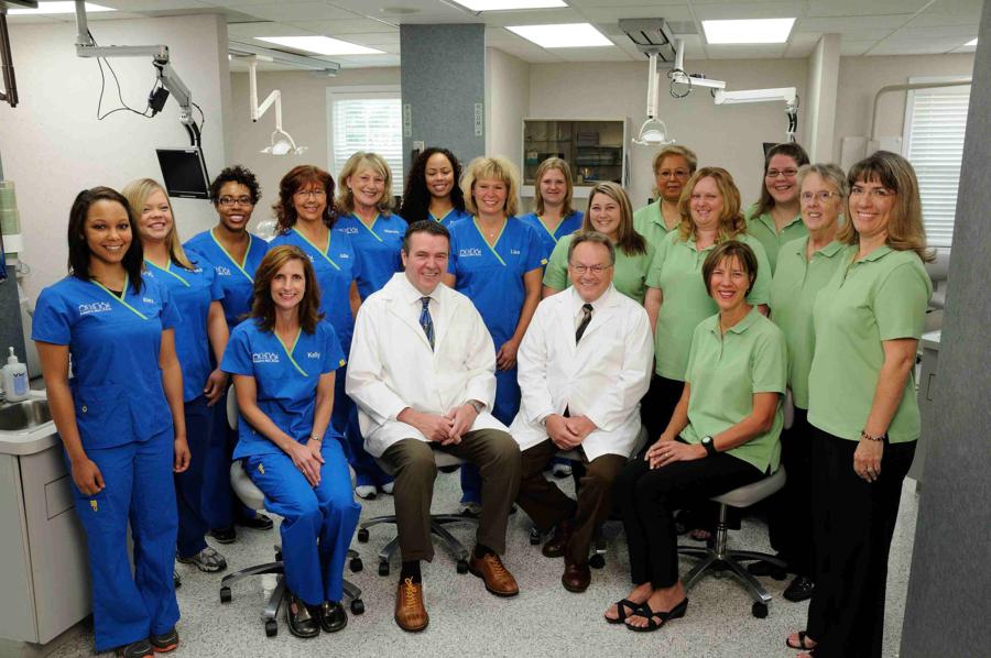
Pro-Tip for GME Directors: When scheduling your photo and video day, create a strict block schedule. Providing applicants and faculty with clear wardrobe guidelines (such as wearing solid colors and pressed white coats, while avoiding fine geometric patterns) minimizes on-set delays and ensures visual consistency across your entire department.
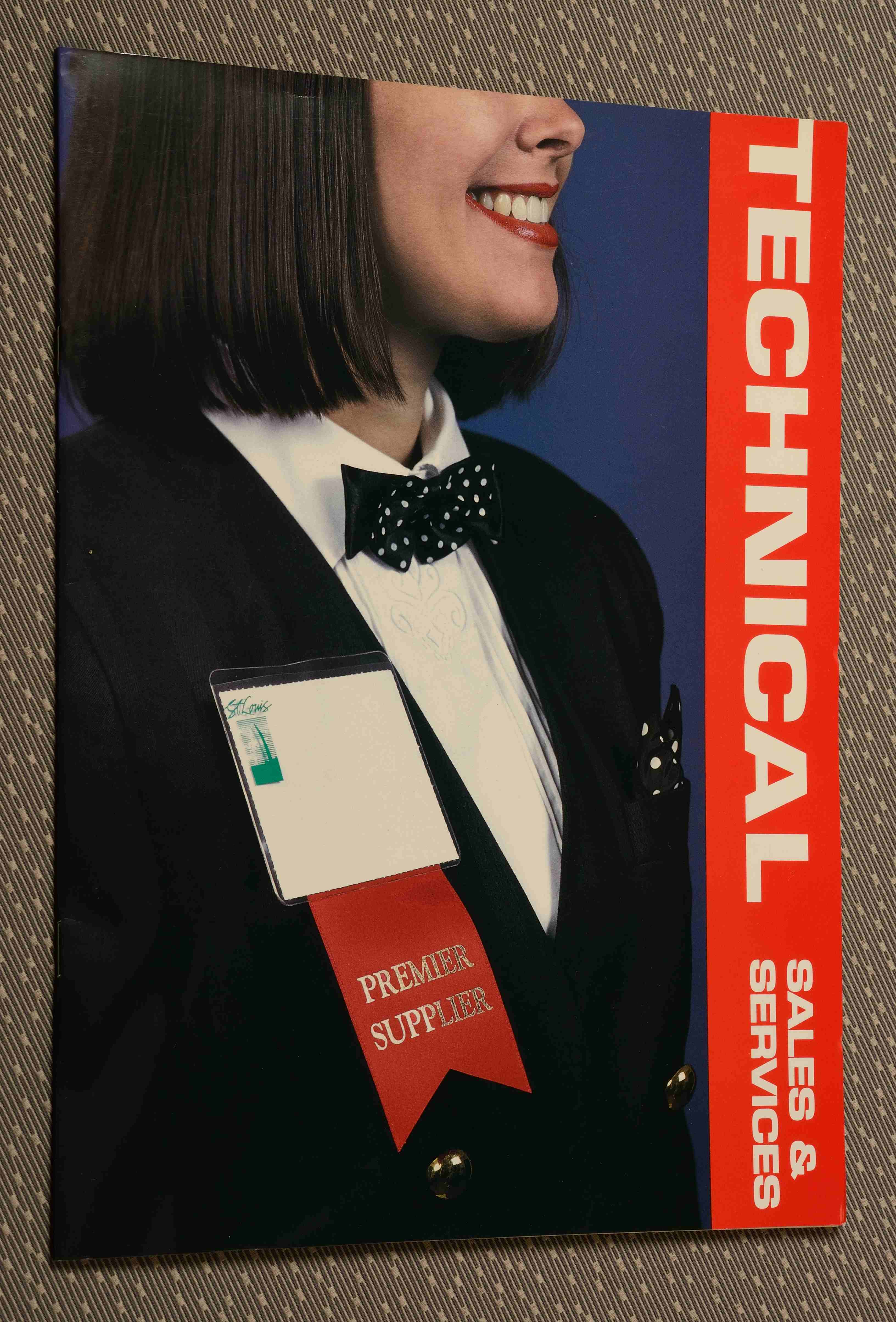
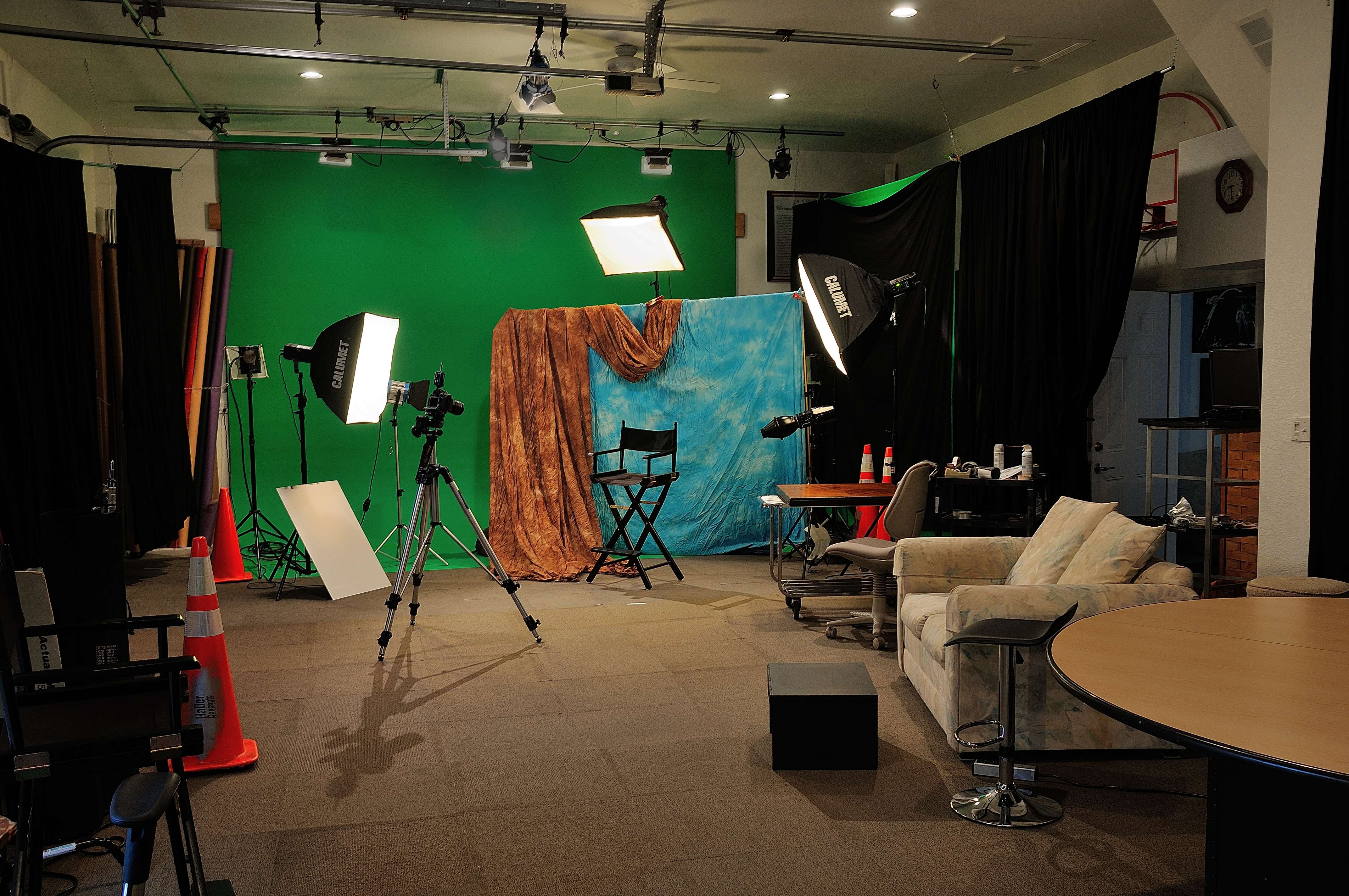
Partner with the Experts: The St Louis Photo Studio Advantage
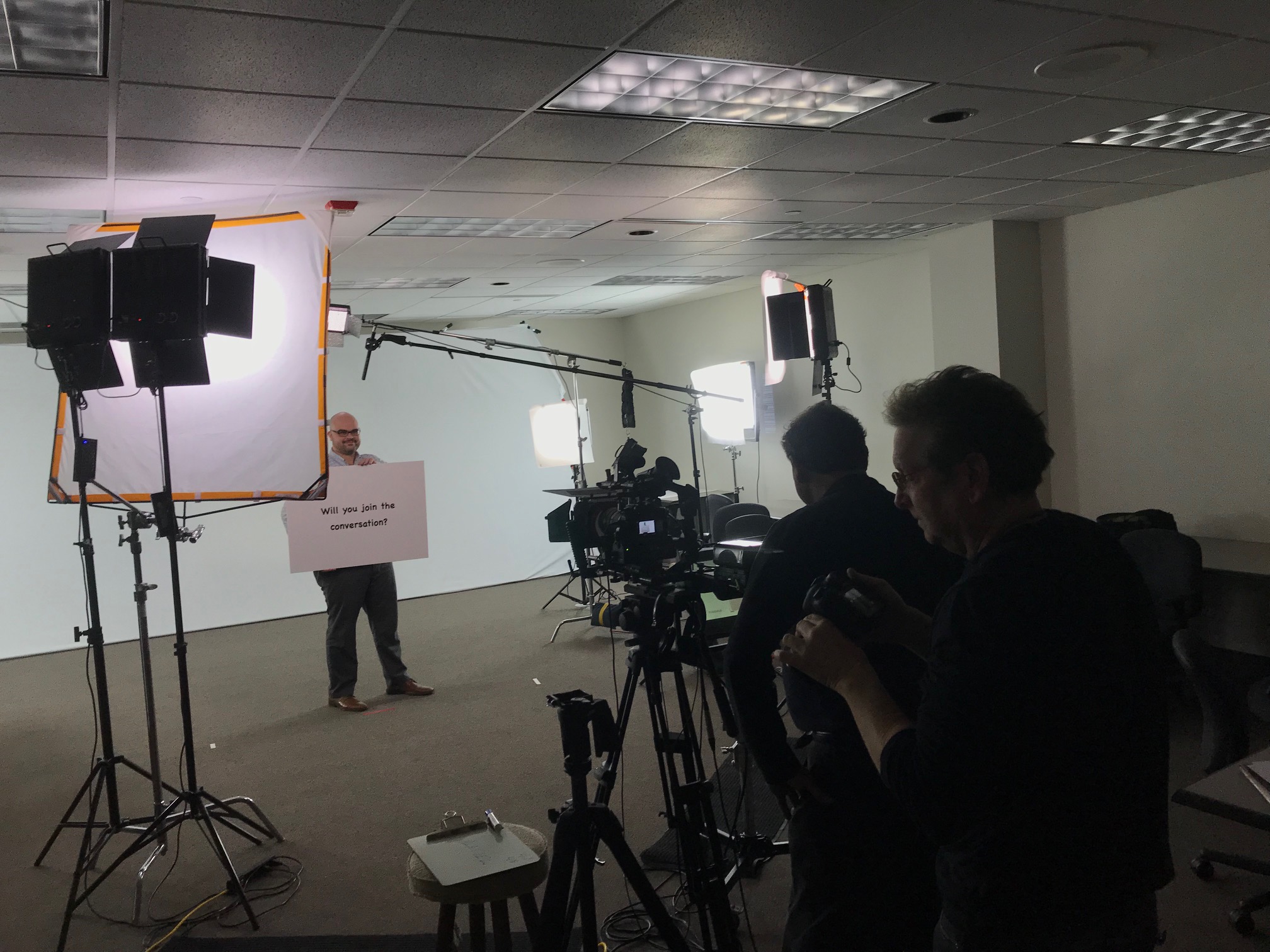
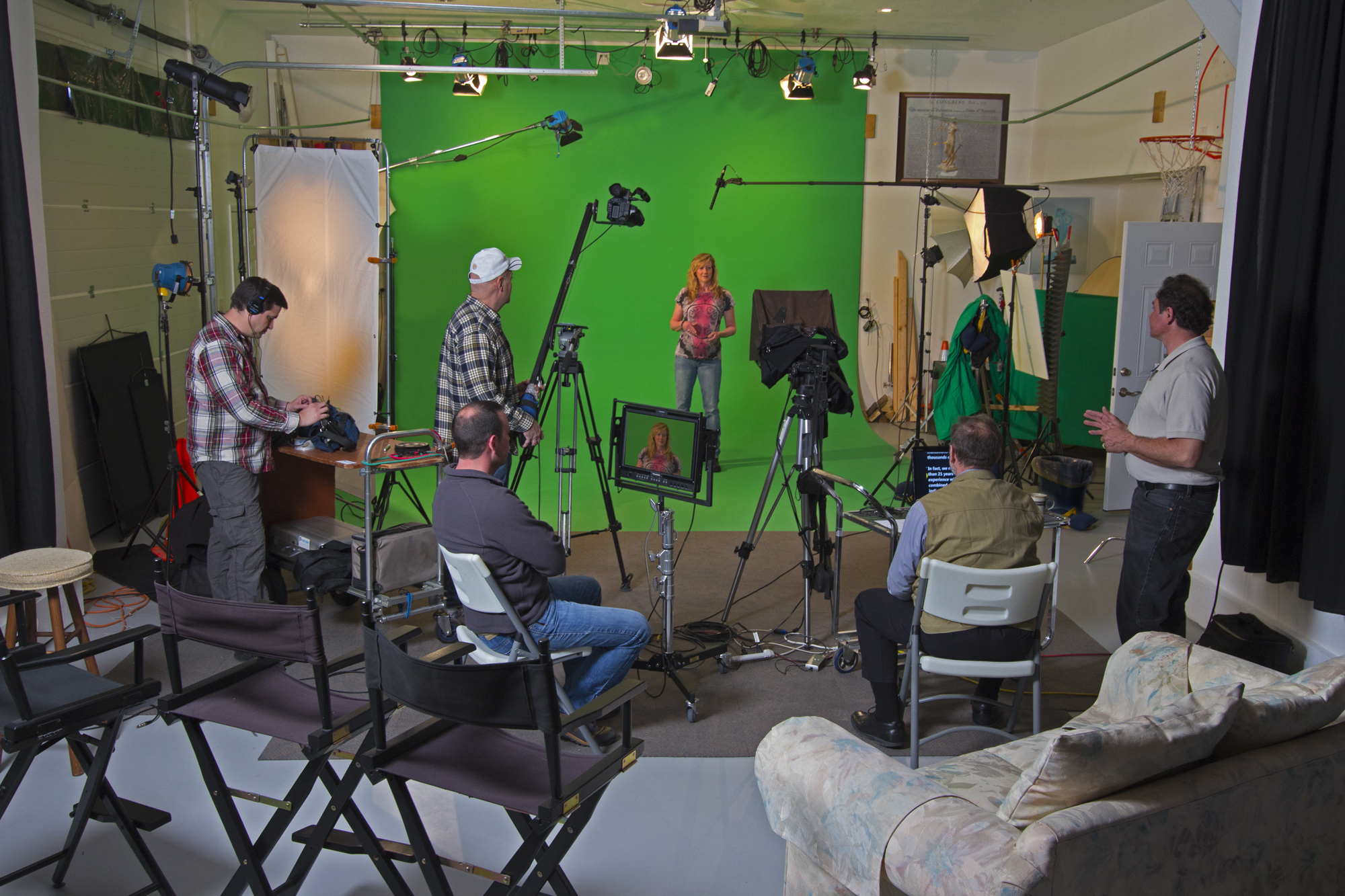
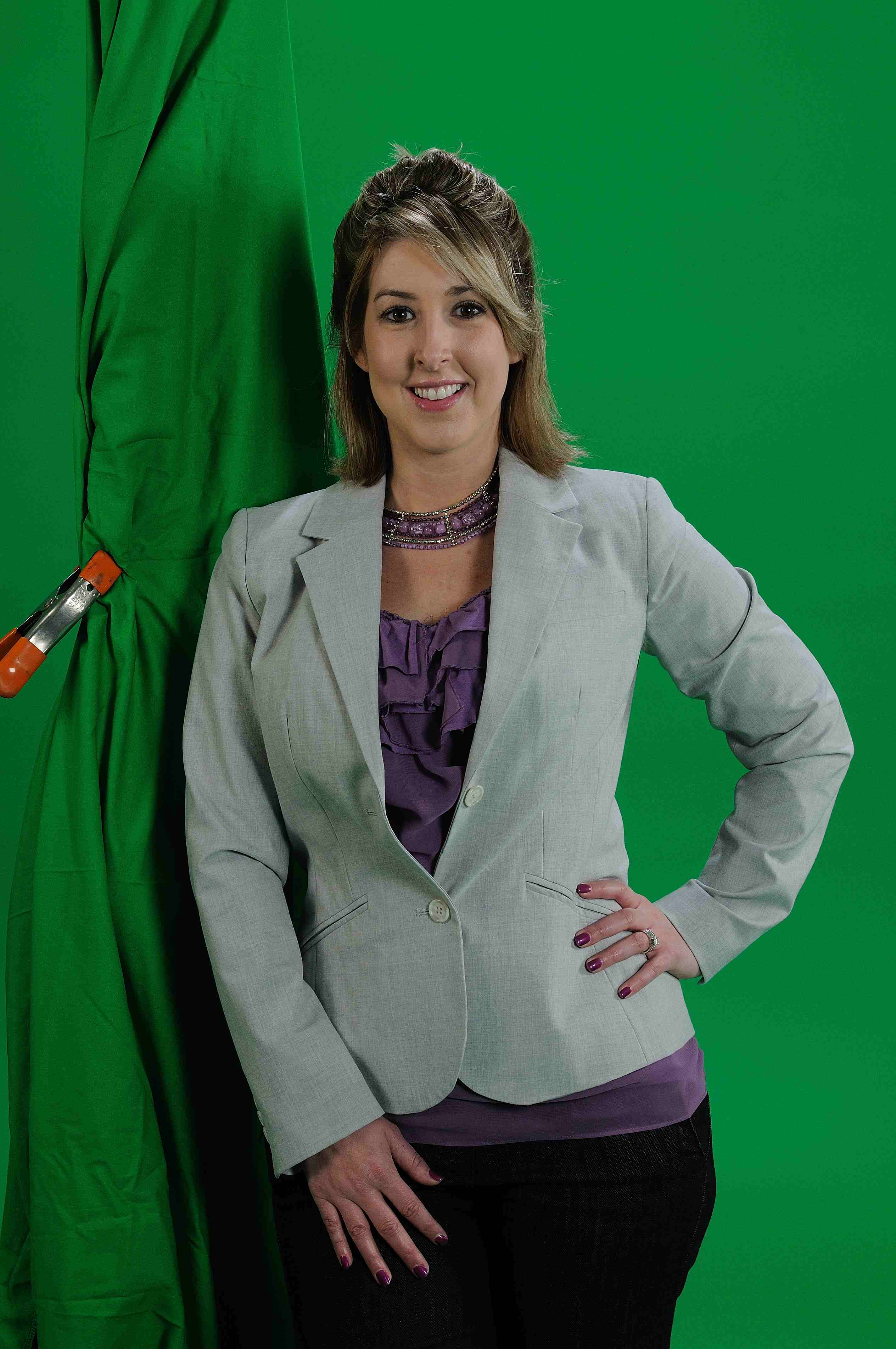
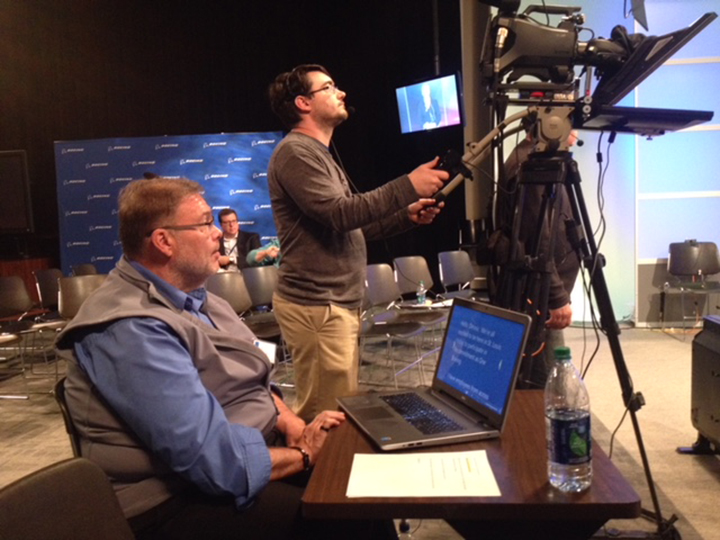
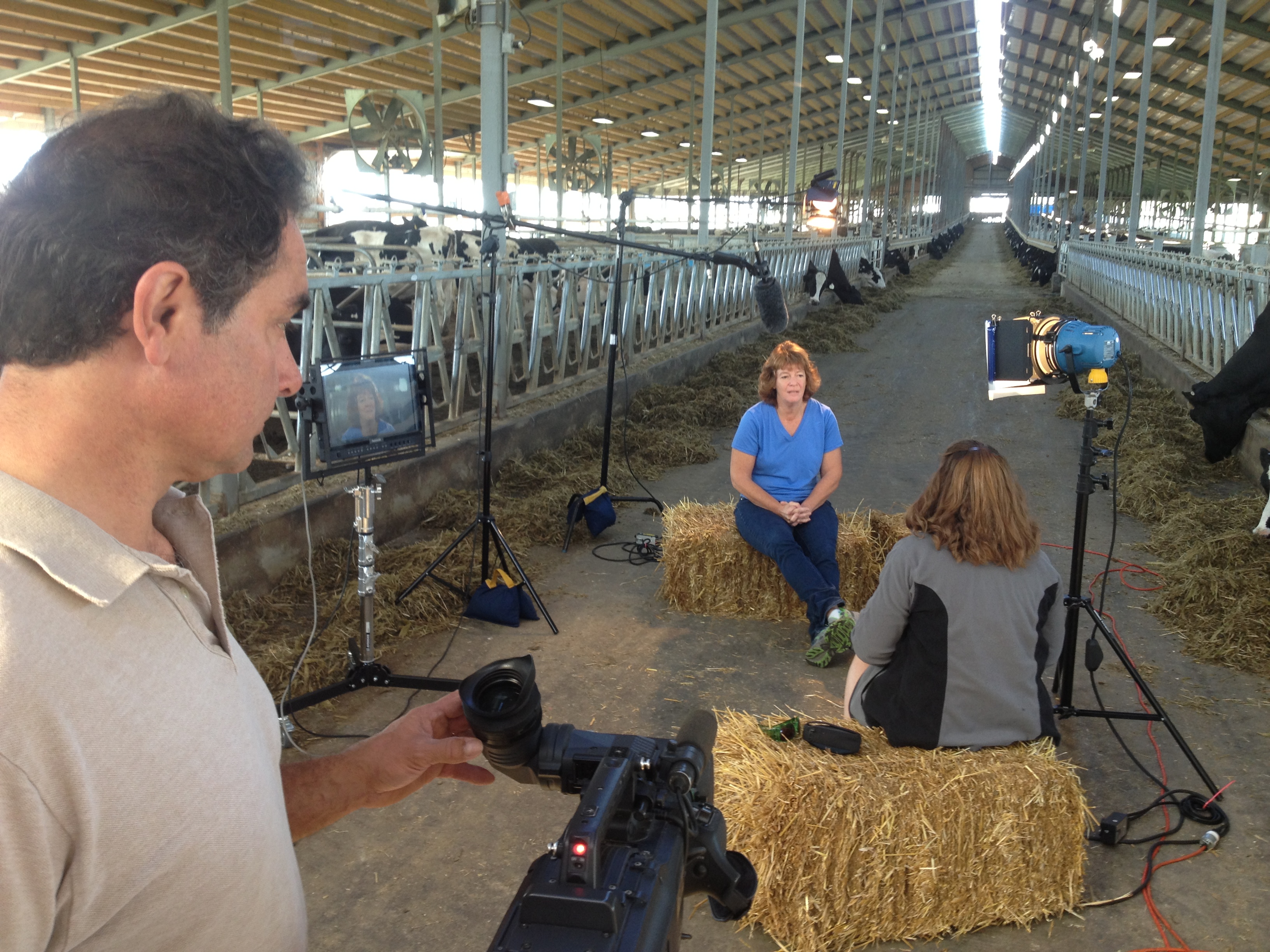
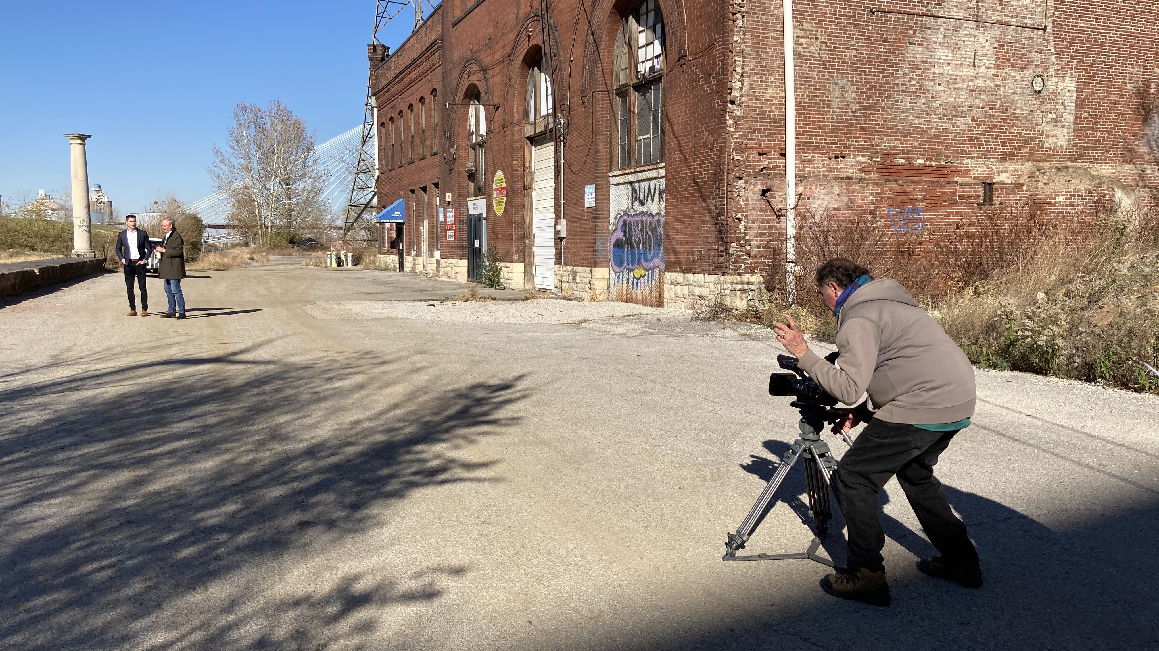
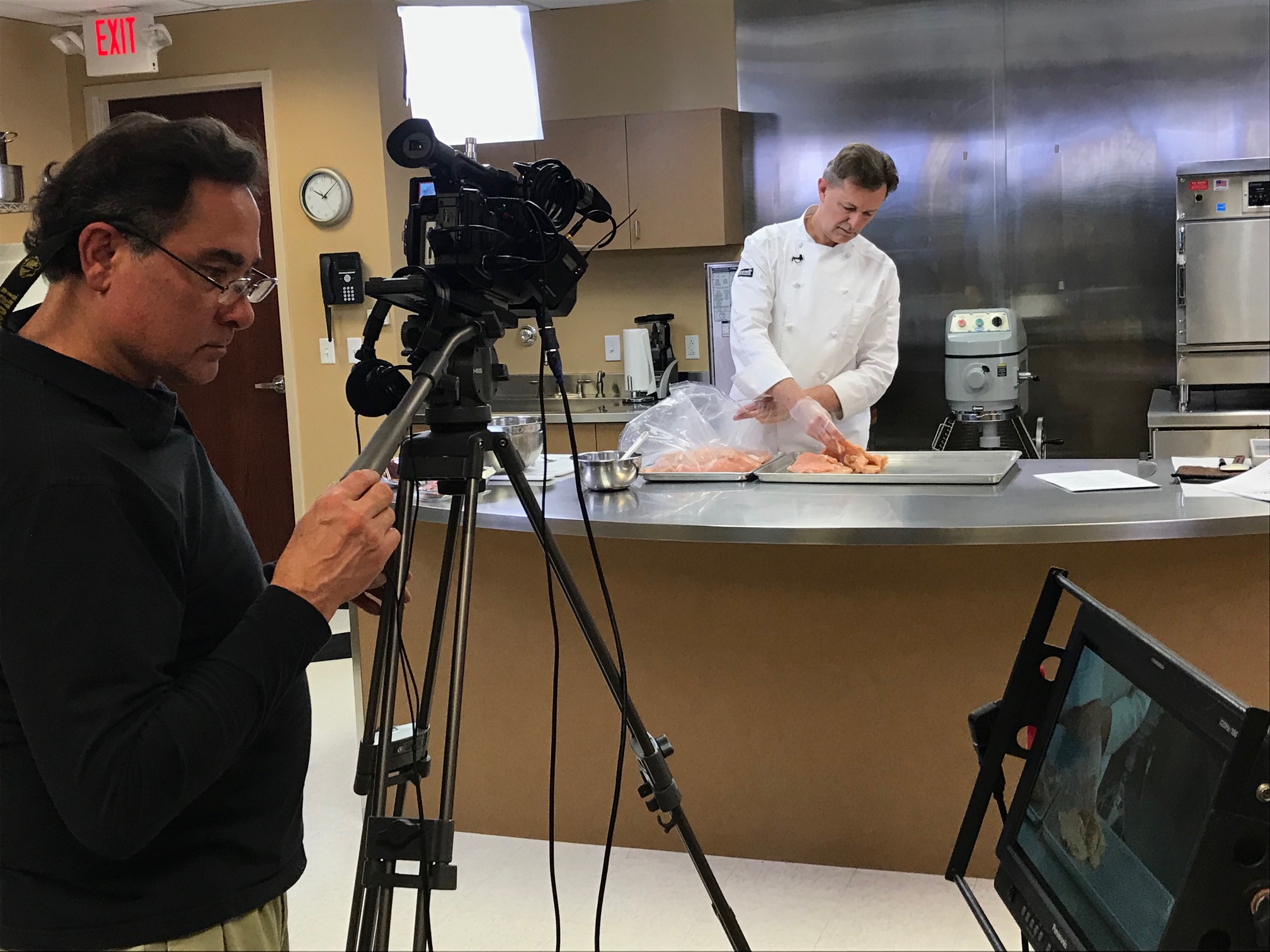
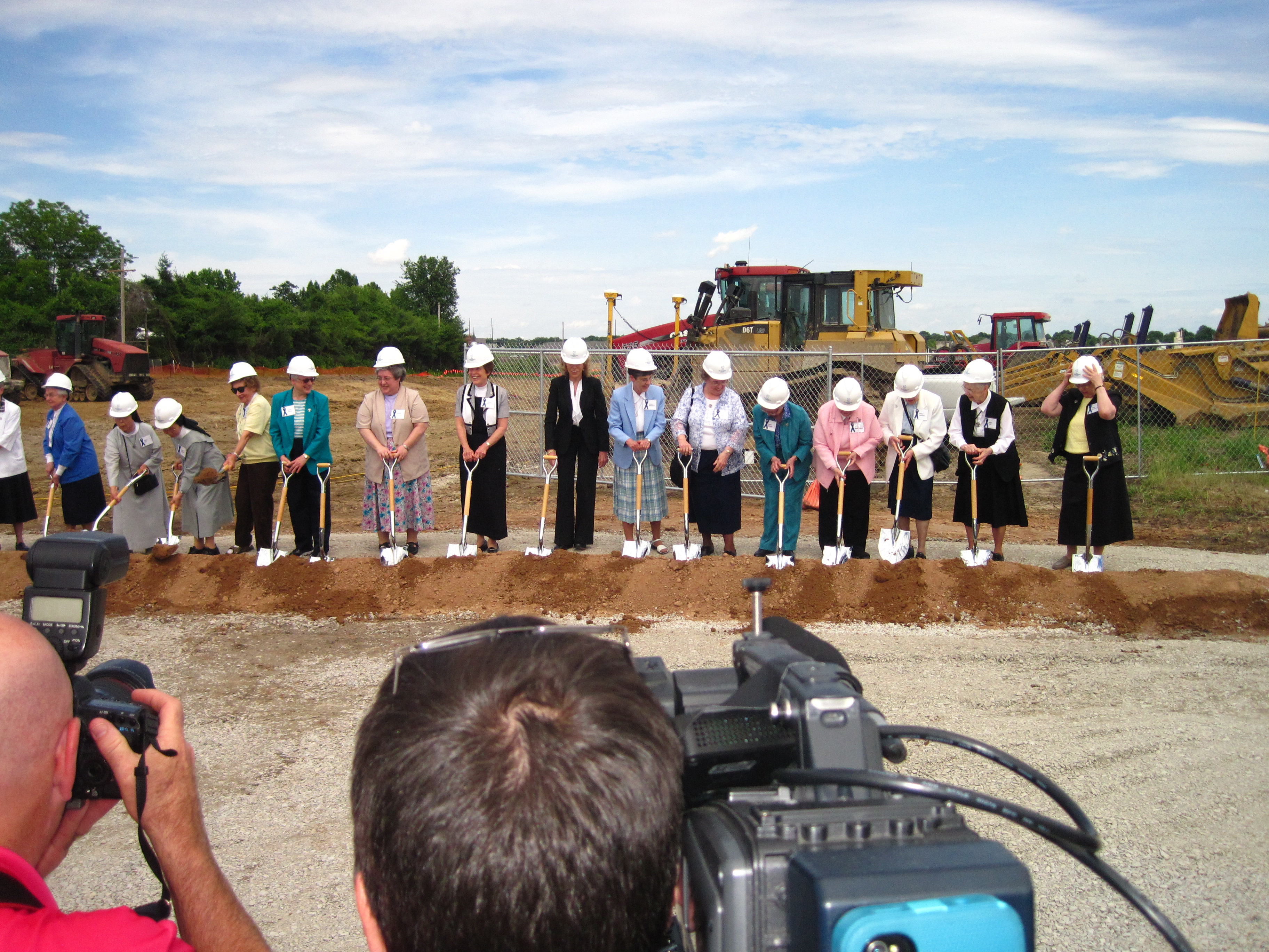
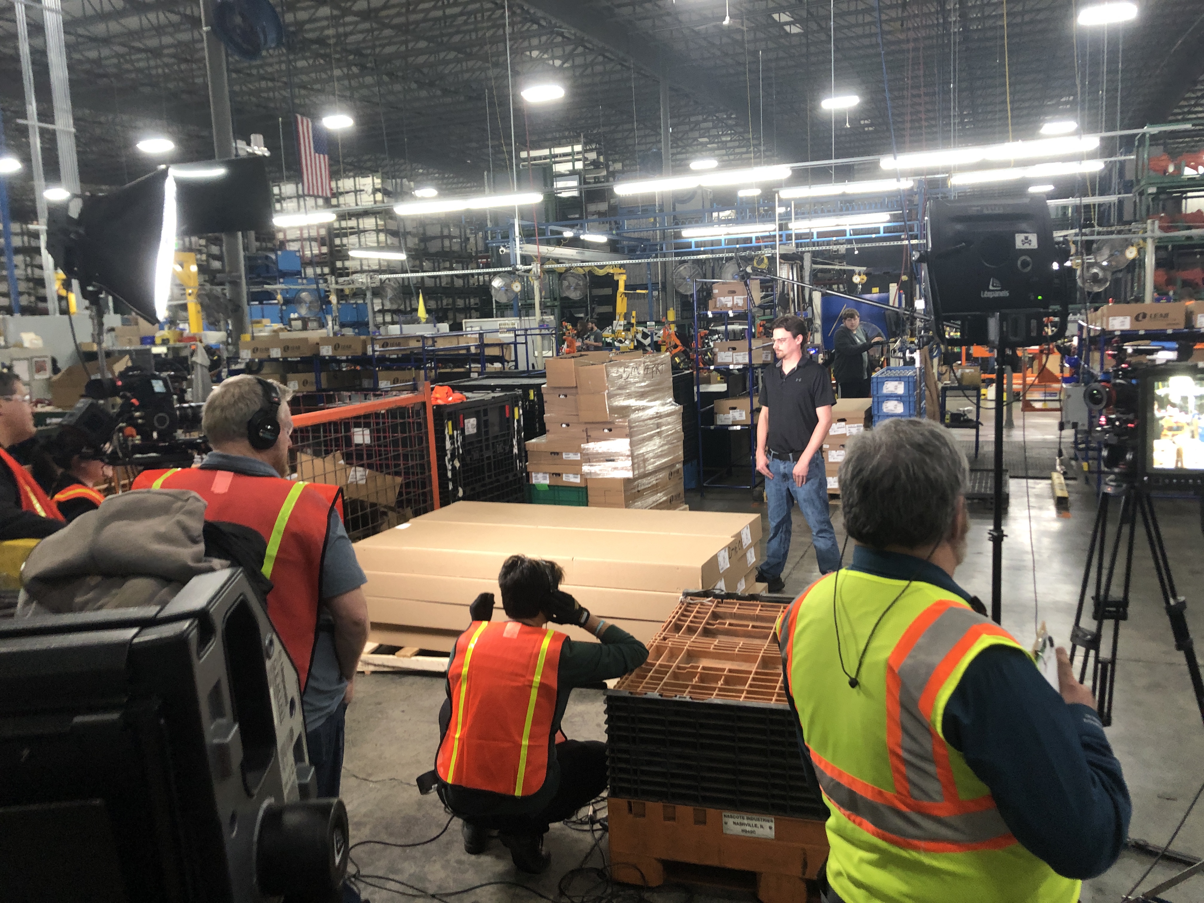
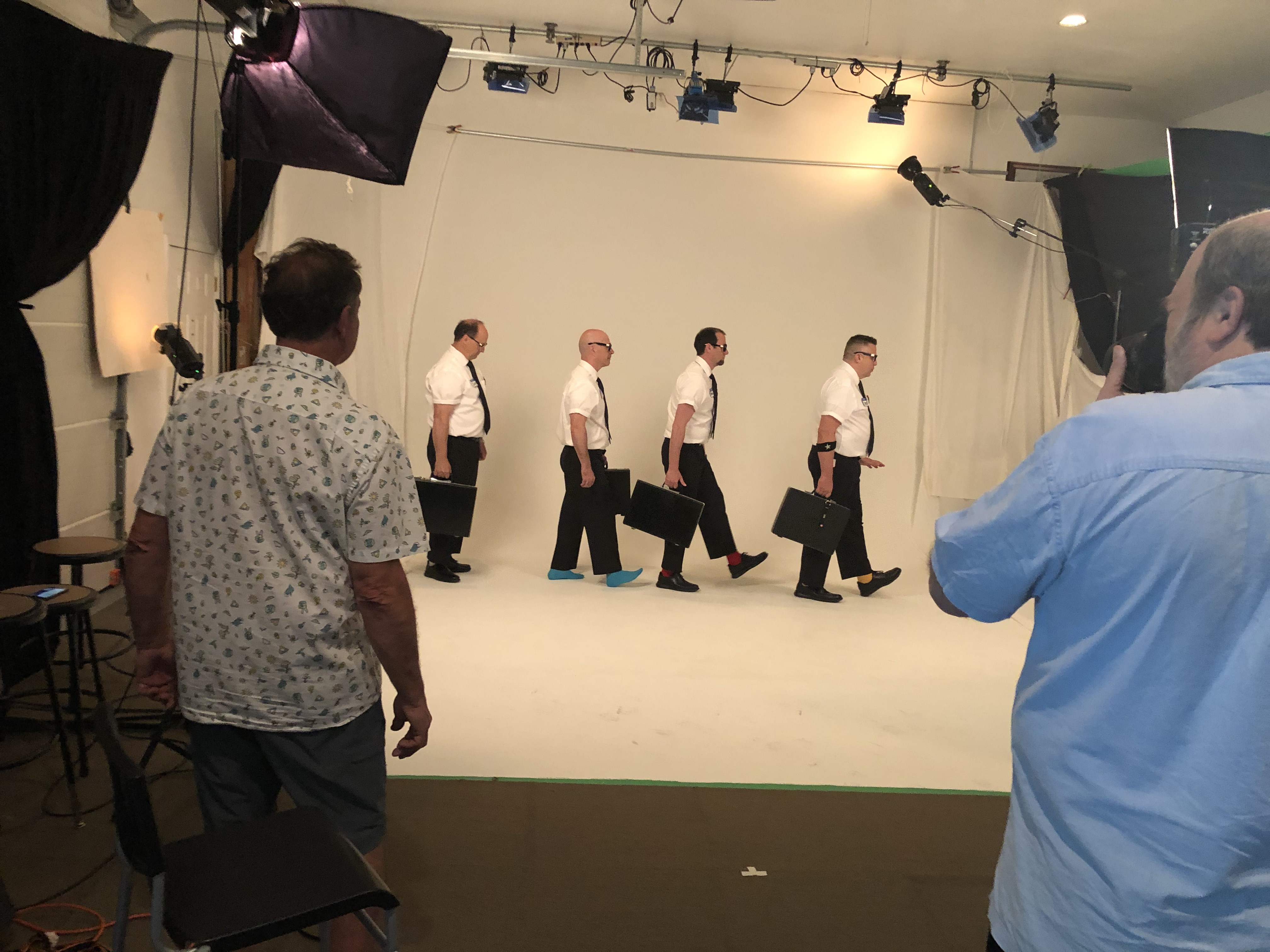
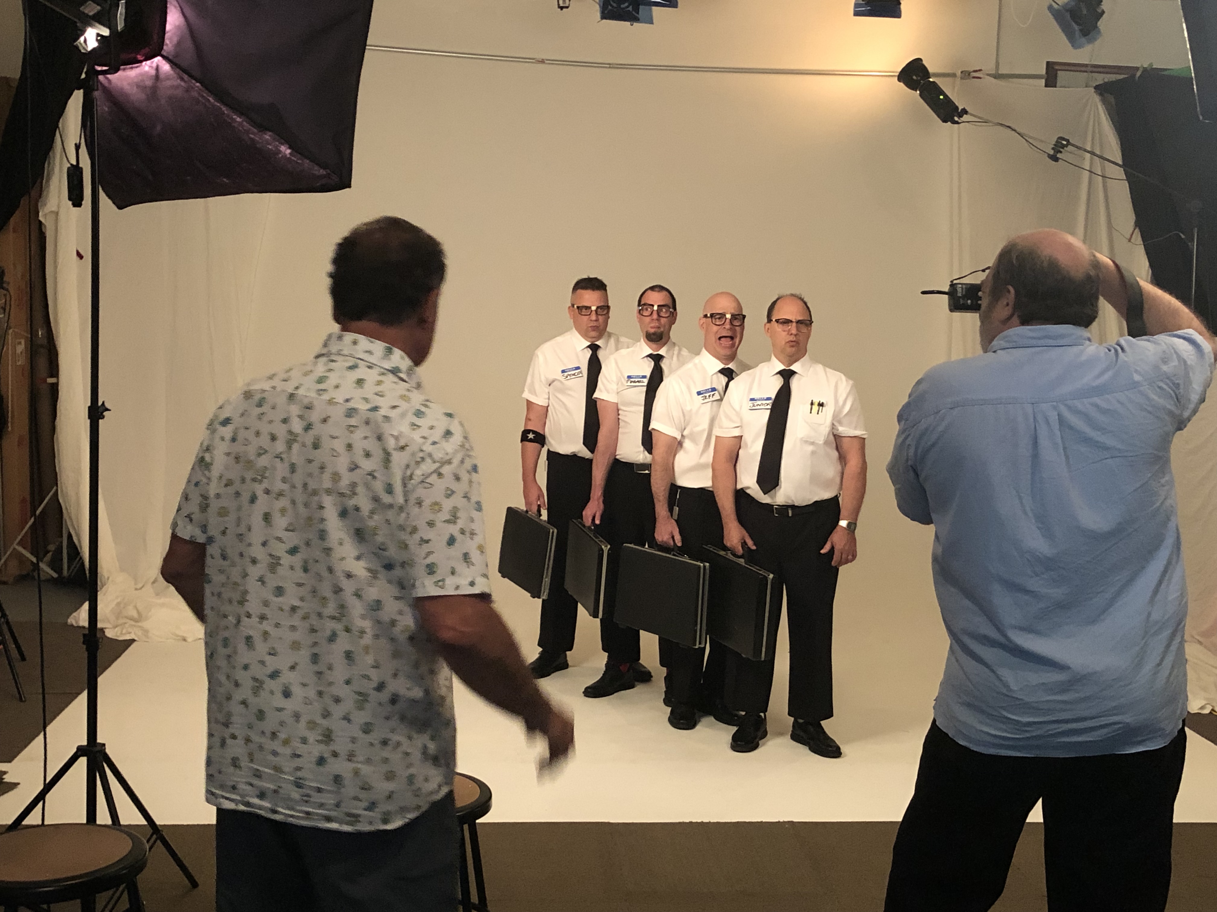
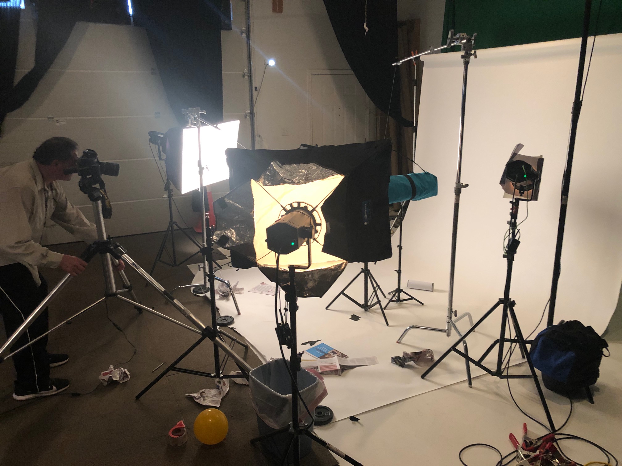
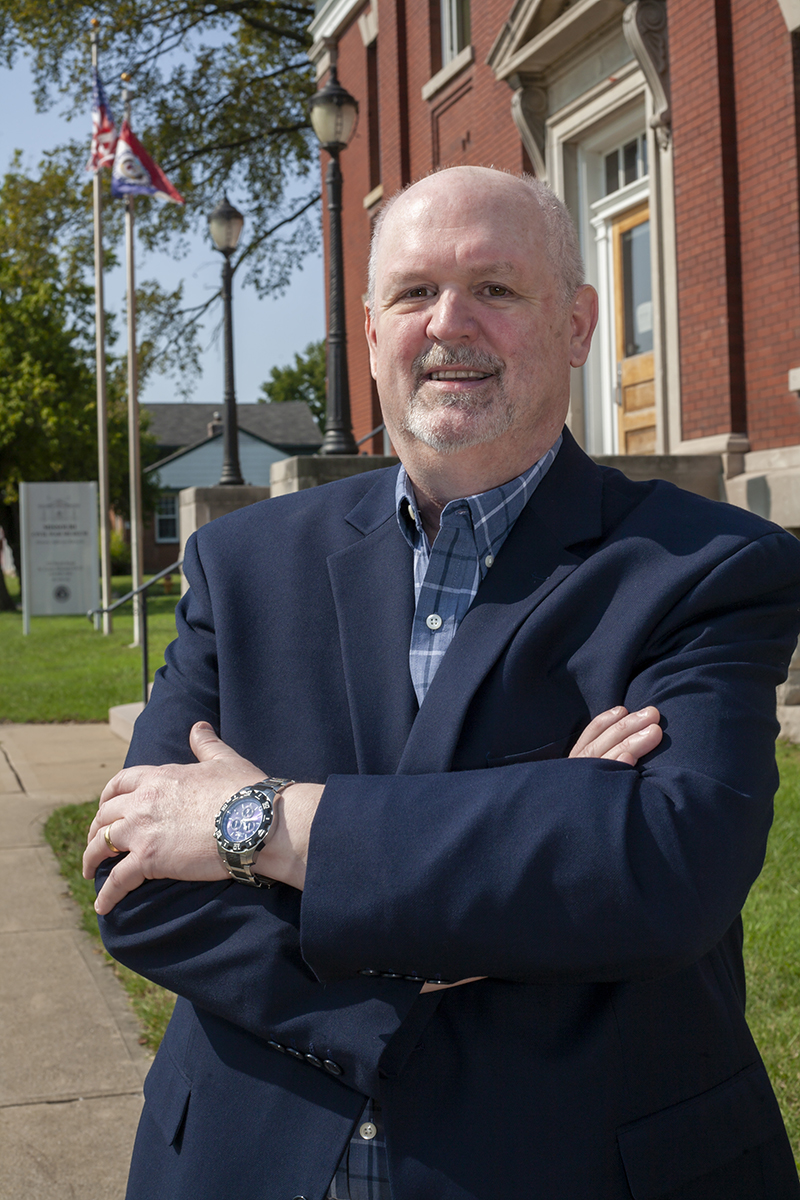
Navigating the logistics of medical media production requires a partner who brings both deep creative expertise and technical precision to the table. St Louis Photo Studio is a full-service professional commercial photography and video production company equipped with the right tools and an experienced creative crew to guarantee successful image acquisition every time.
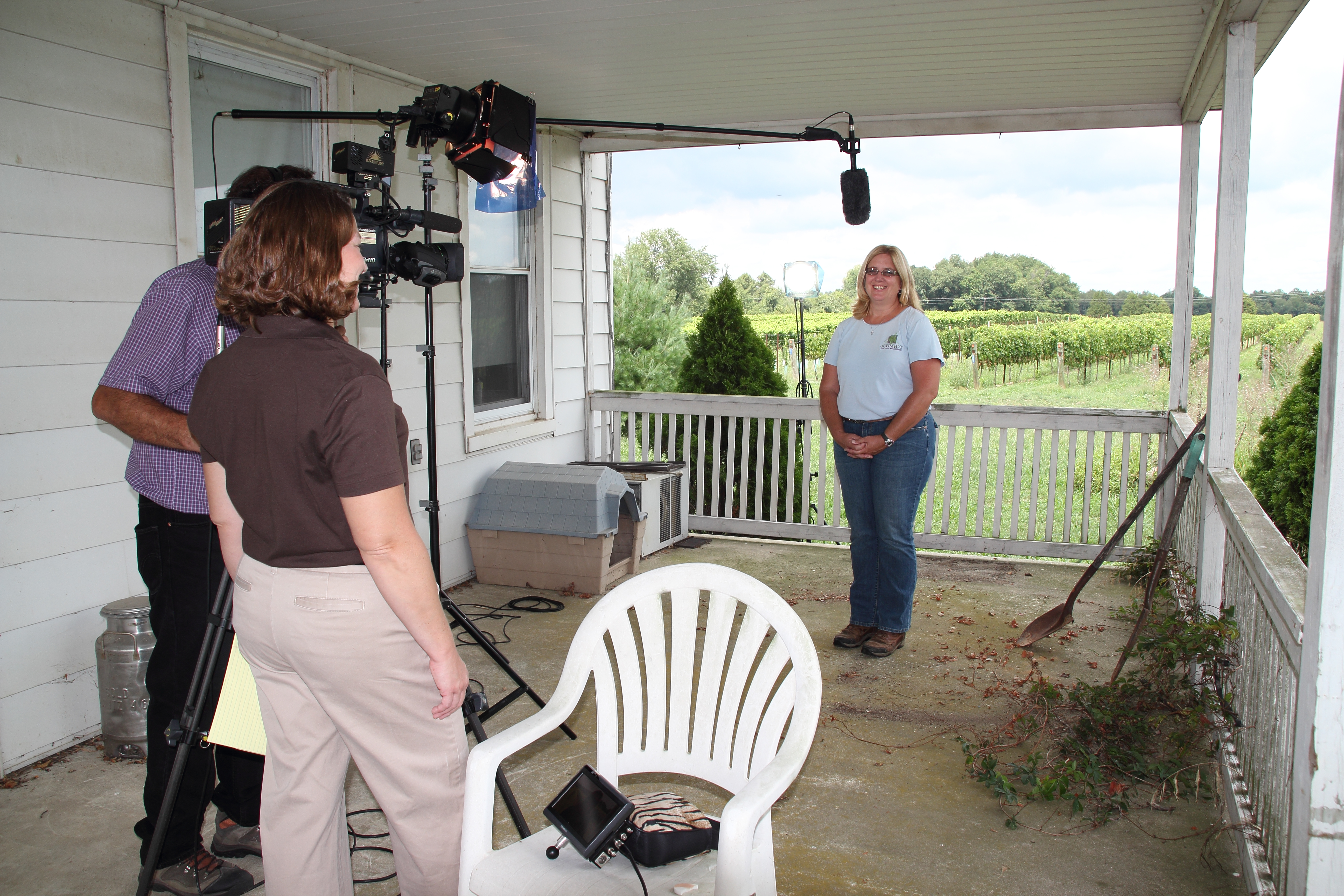
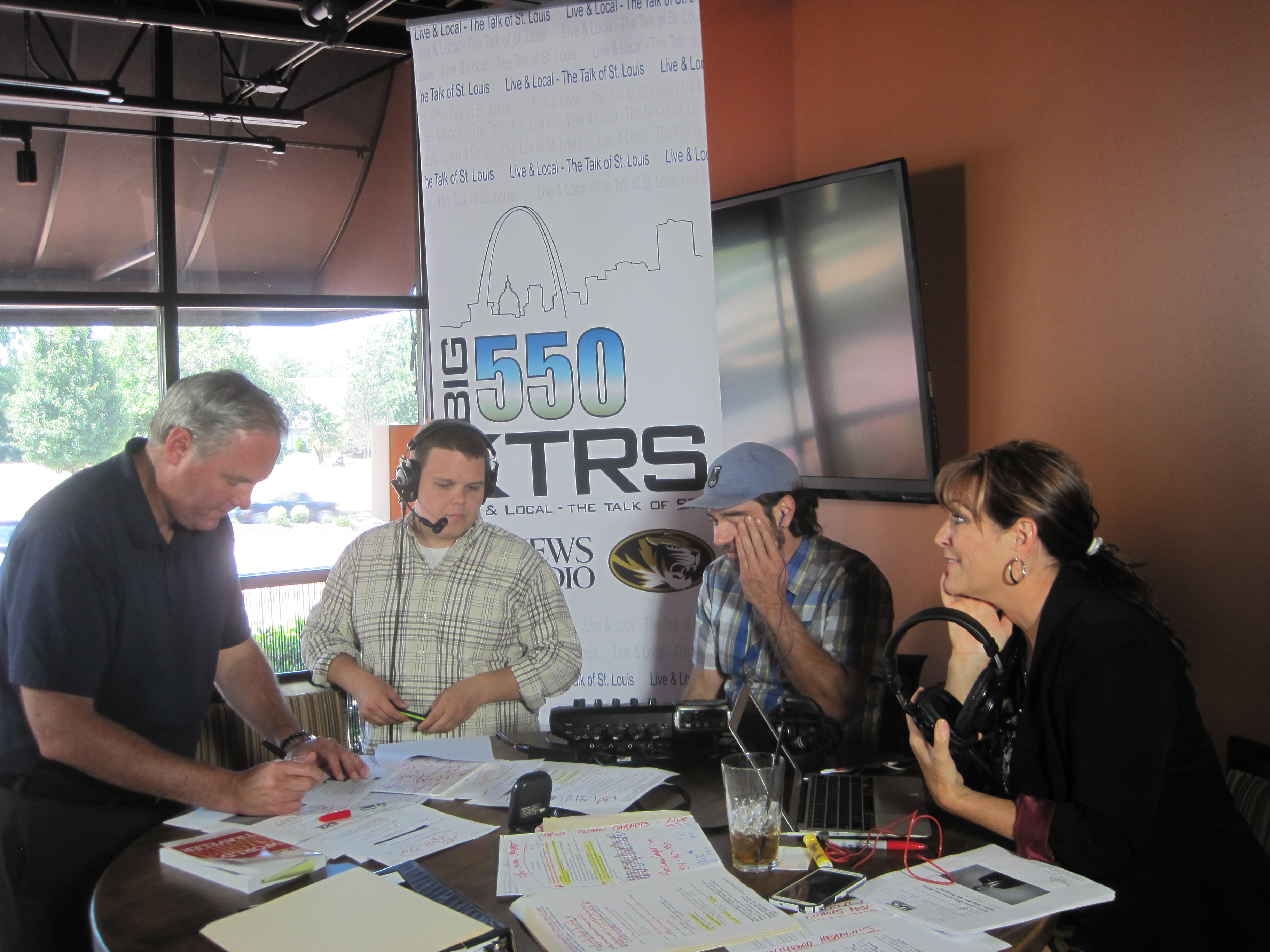
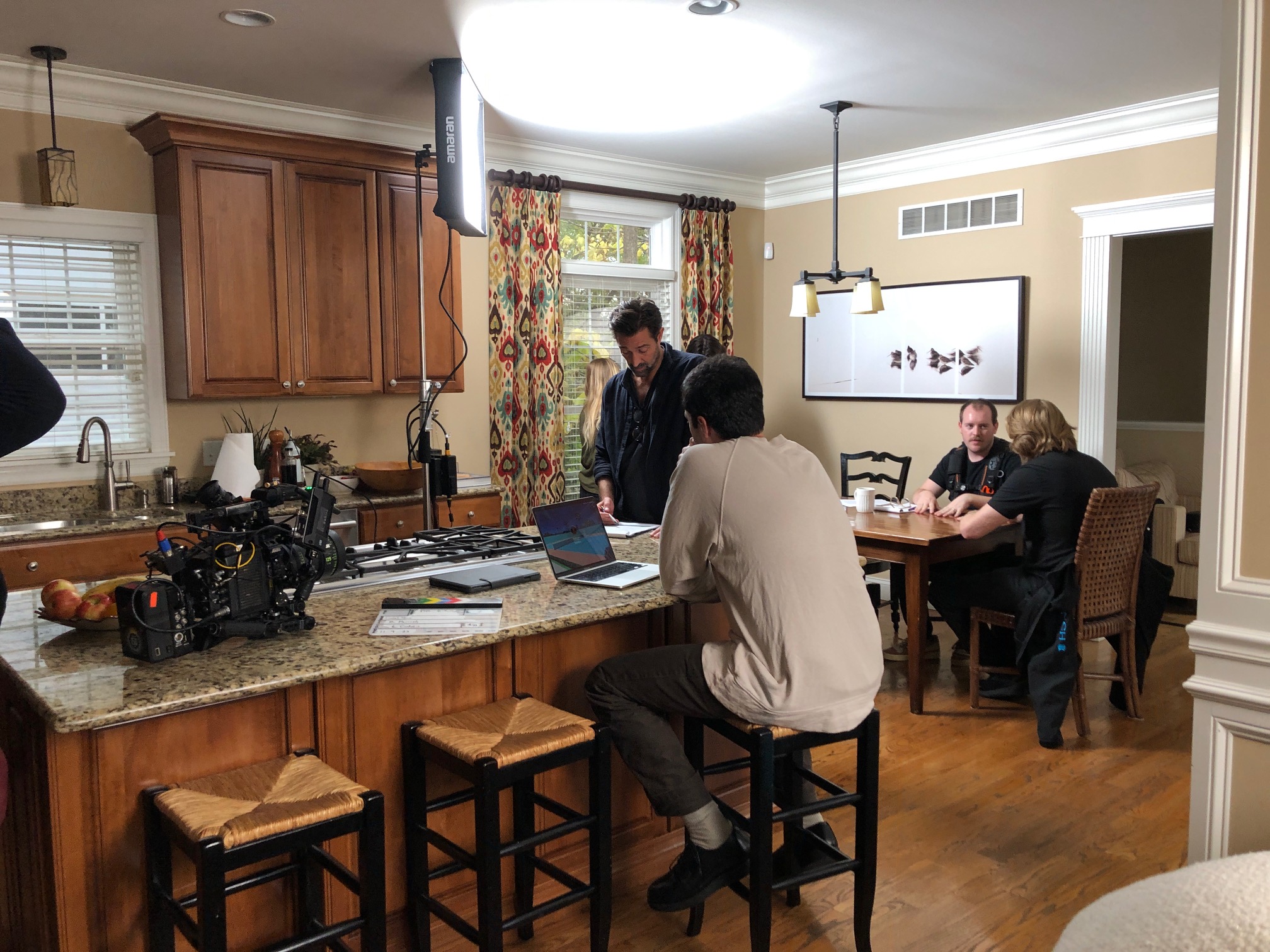
Since 1982, St Louis Photo Studio has collaborated with numerous businesses, marketing firms, and creative agencies in the St. Louis area, delivering top-tier marketing photography and video solutions. We offer full-service studio and location video and photography, alongside comprehensive editing and post-production workflows.
Why Choose St Louis Photo Studio for Your Institution?
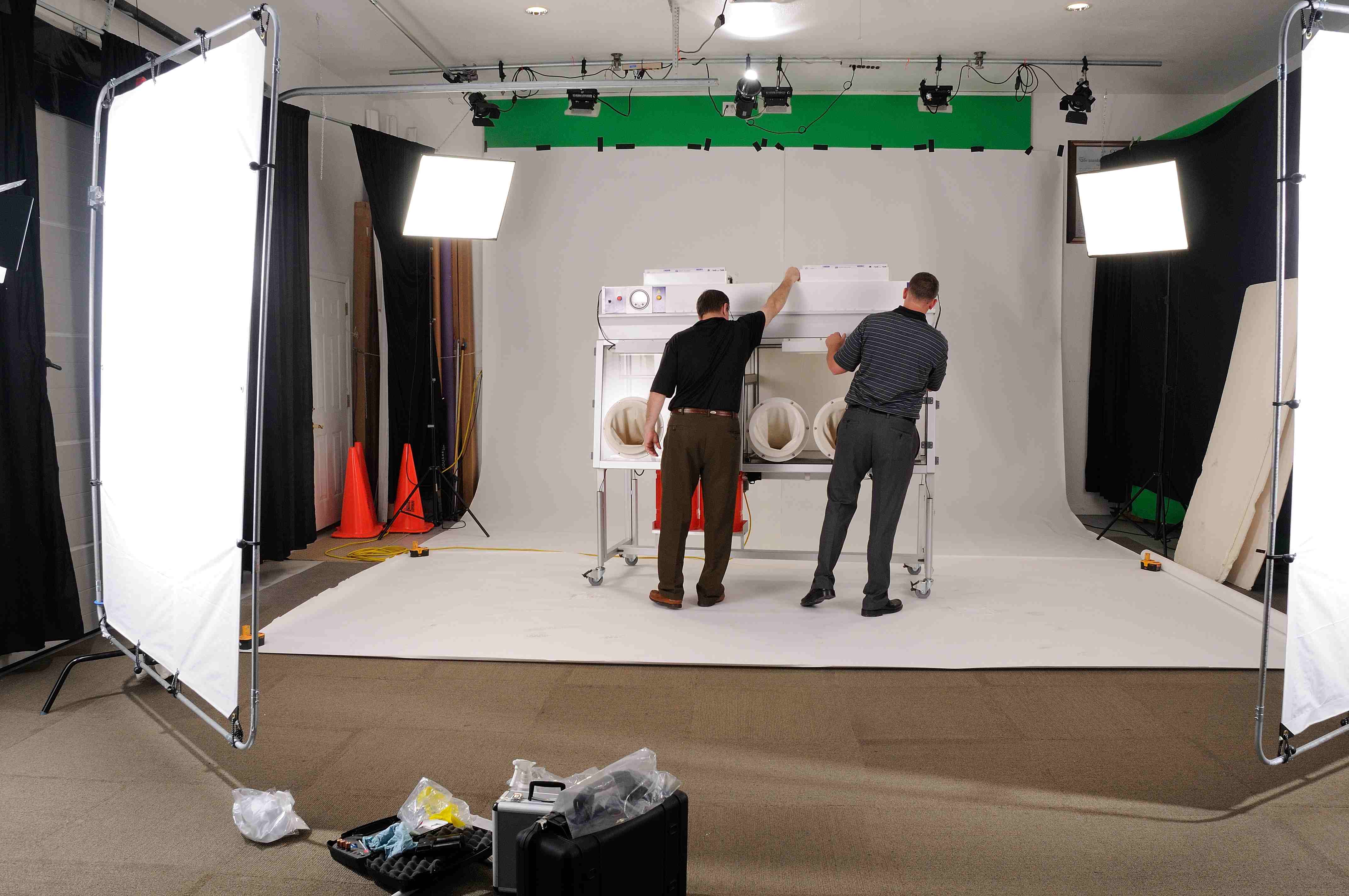
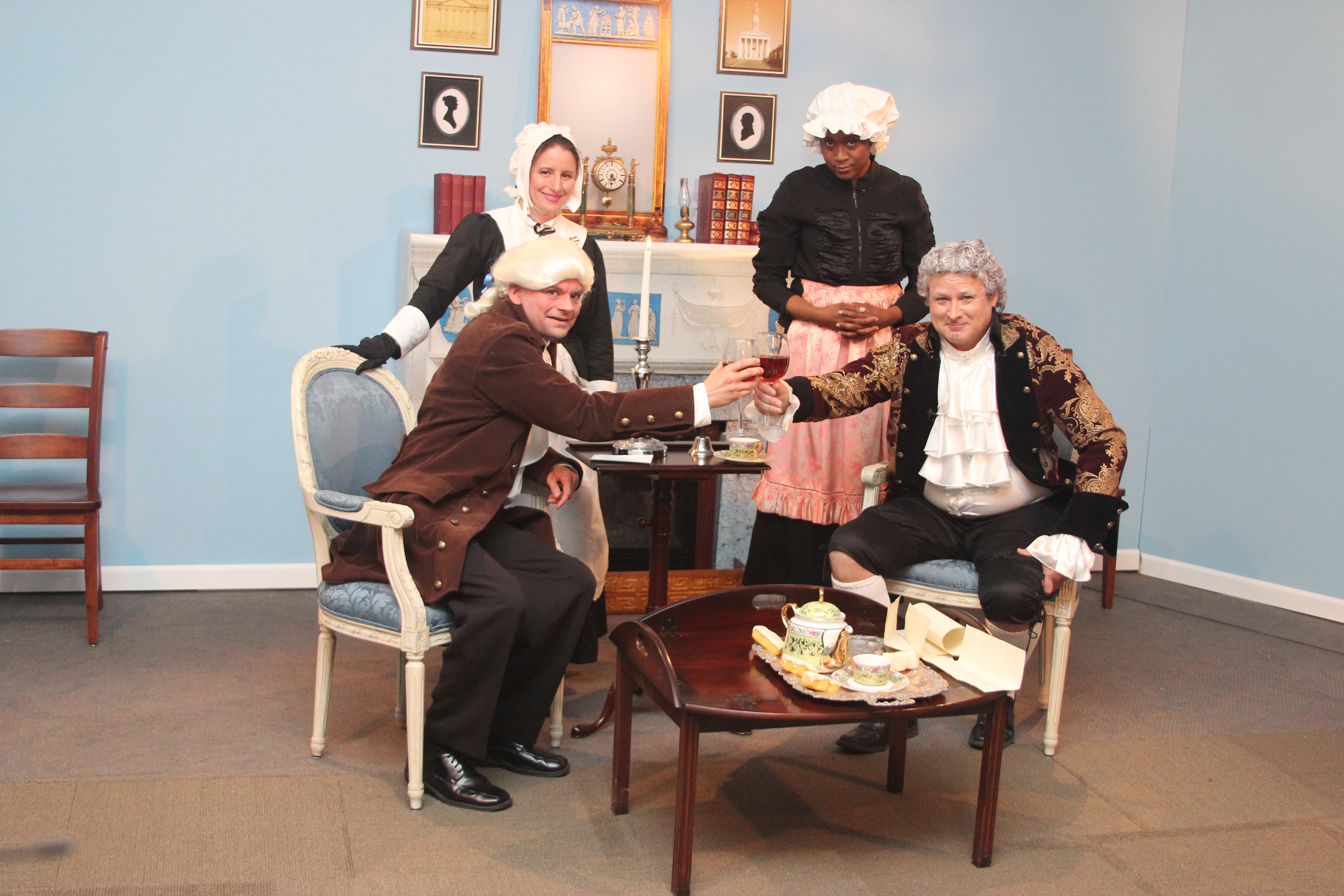
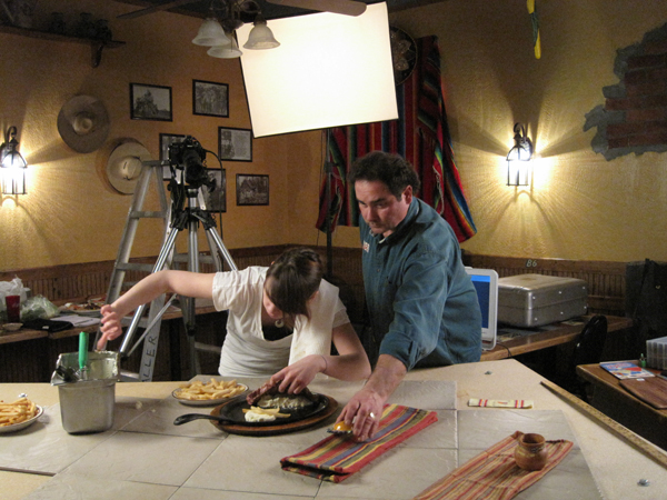
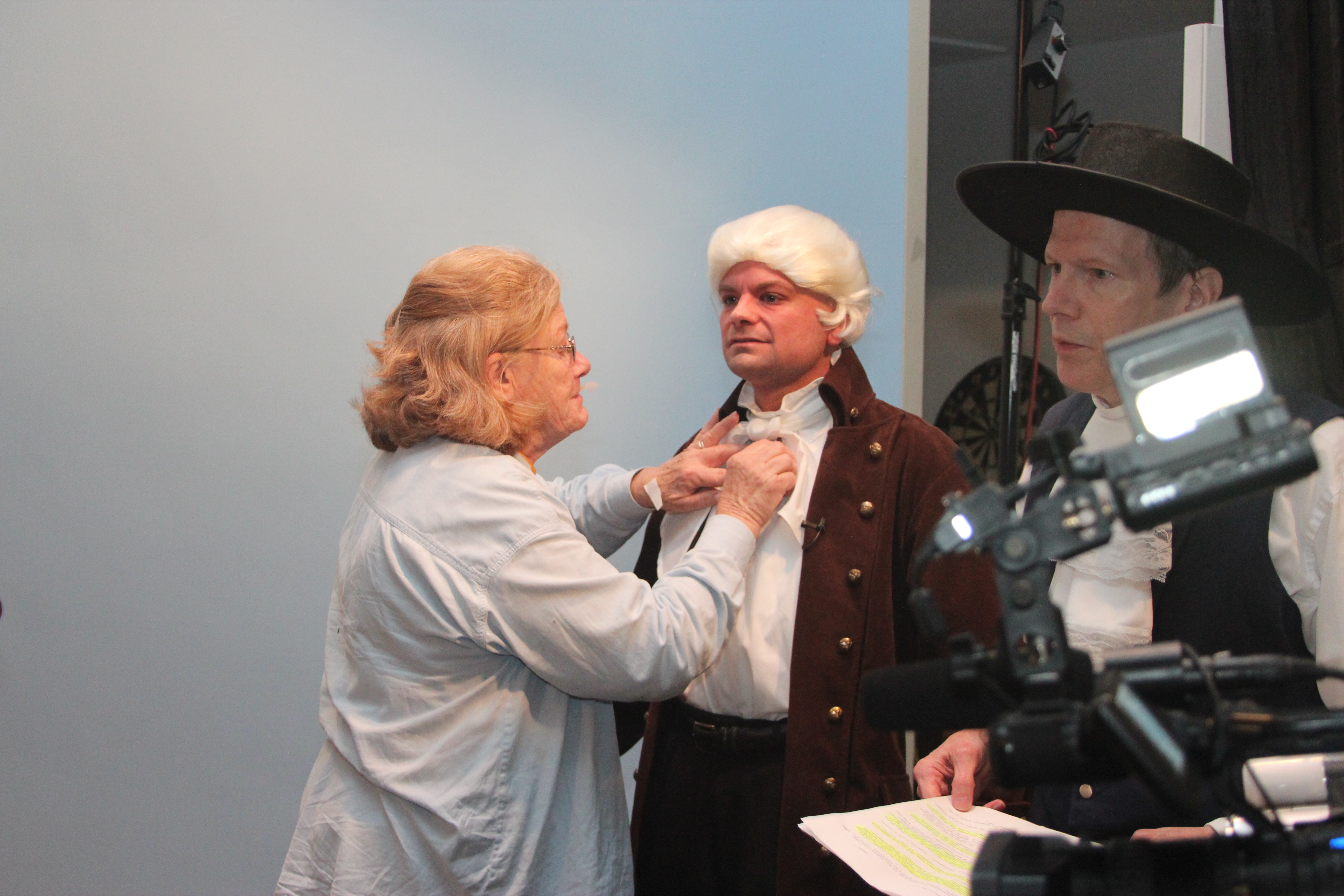
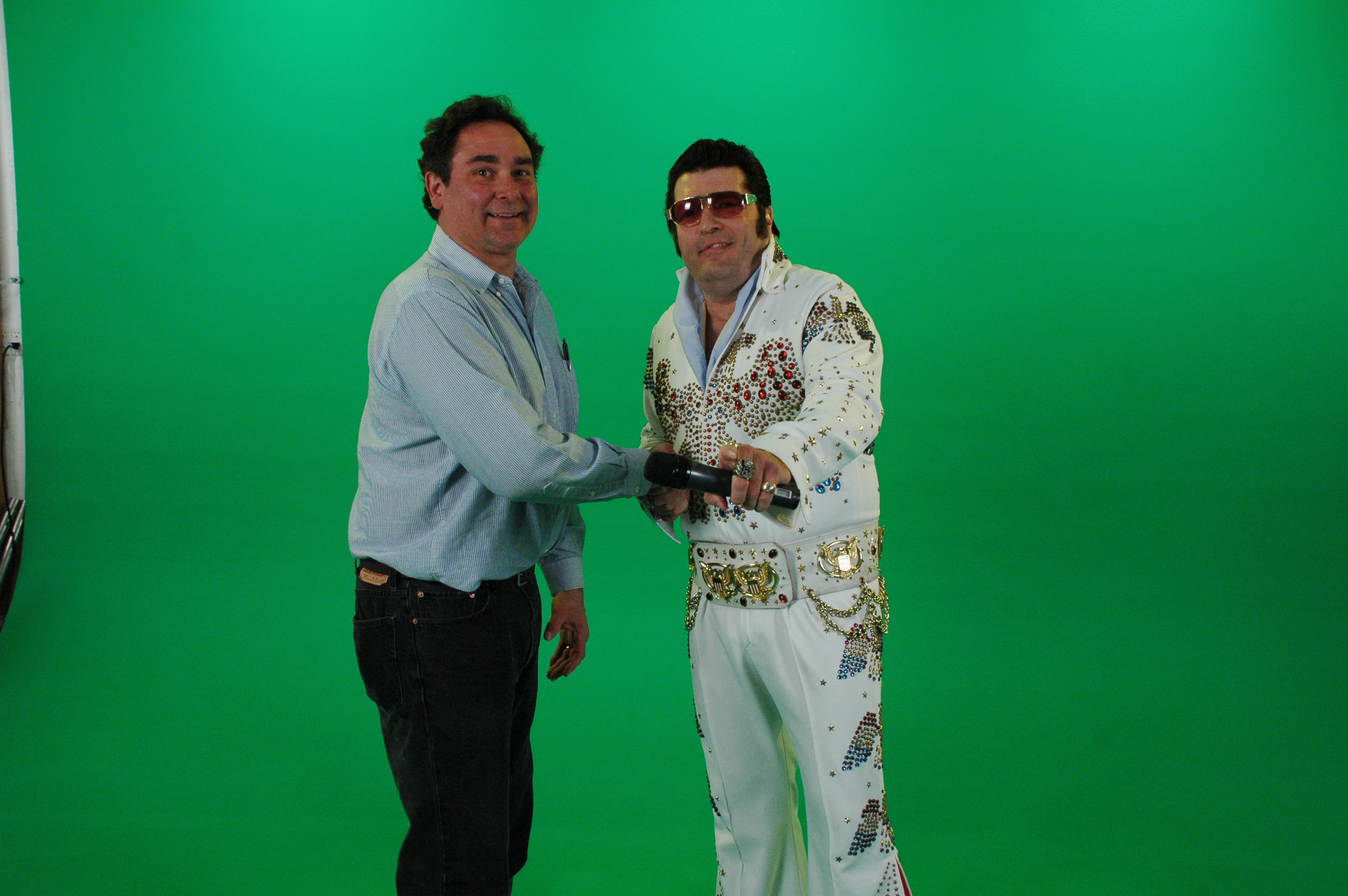
- Advanced Private Studio: Our private studio features specialized lighting and visual setups perfect for small productions and intimate interview scenes. The studio space is large enough to incorporate props to round out your set, making it highly adaptable for diverse media requirements.
- Cutting-Edge Technology: We are well-versed in all file types, media styles, and accompanying software. To ensure maximum cost-efficiency and rapid delivery, we integrate the latest in Artificial Intelligence across all our media services.
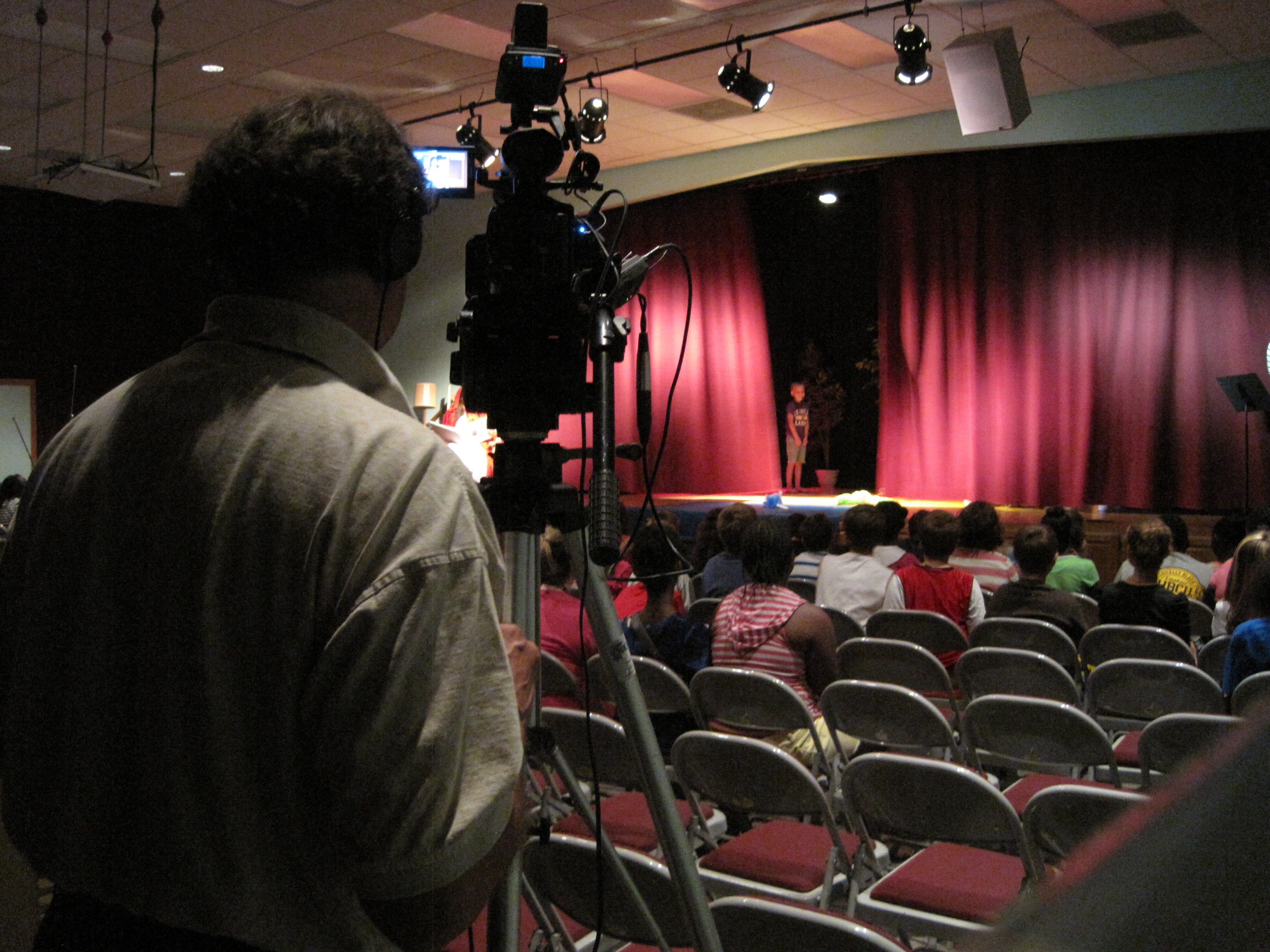
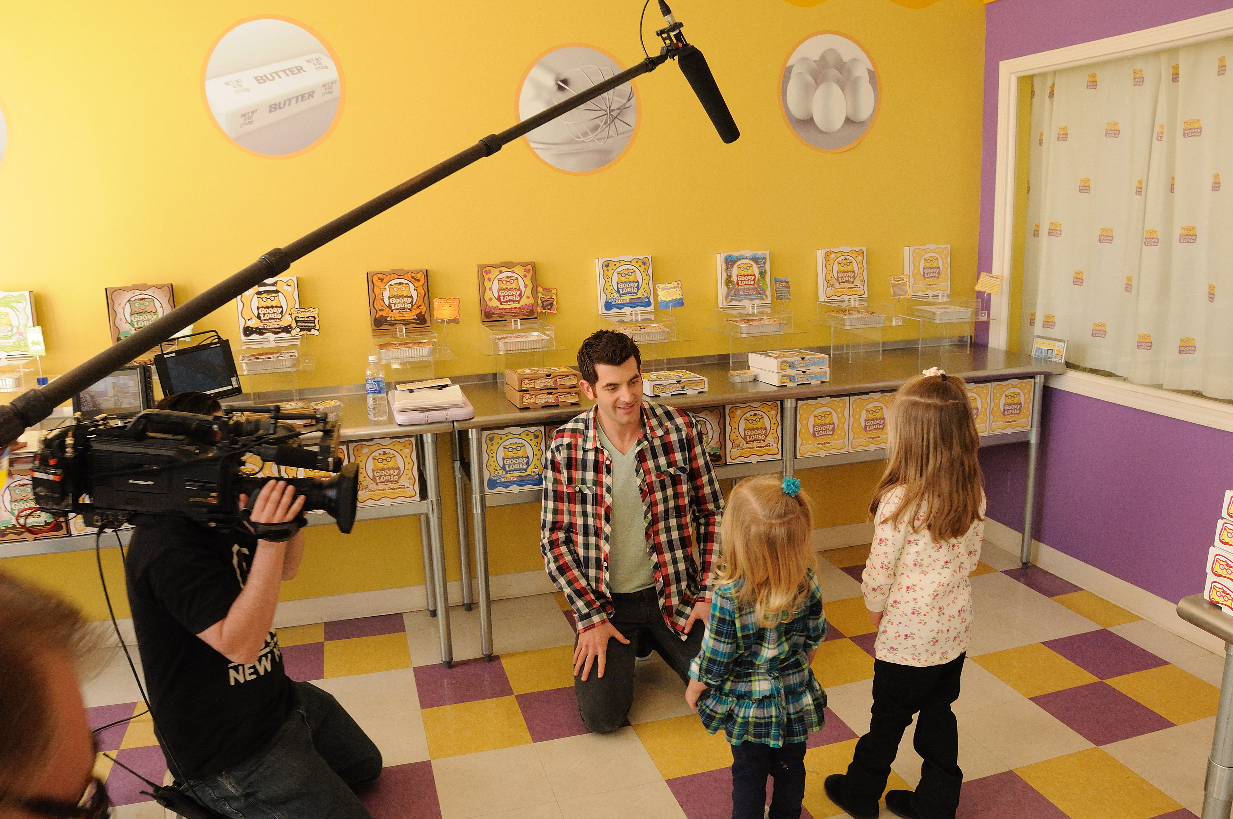
- End-to-End Production Support: We support every aspect of your production—from setting up a private, custom interview studio to supplying professional sound and camera operators. We handle everything to ensure your next video production is seamless and successful.
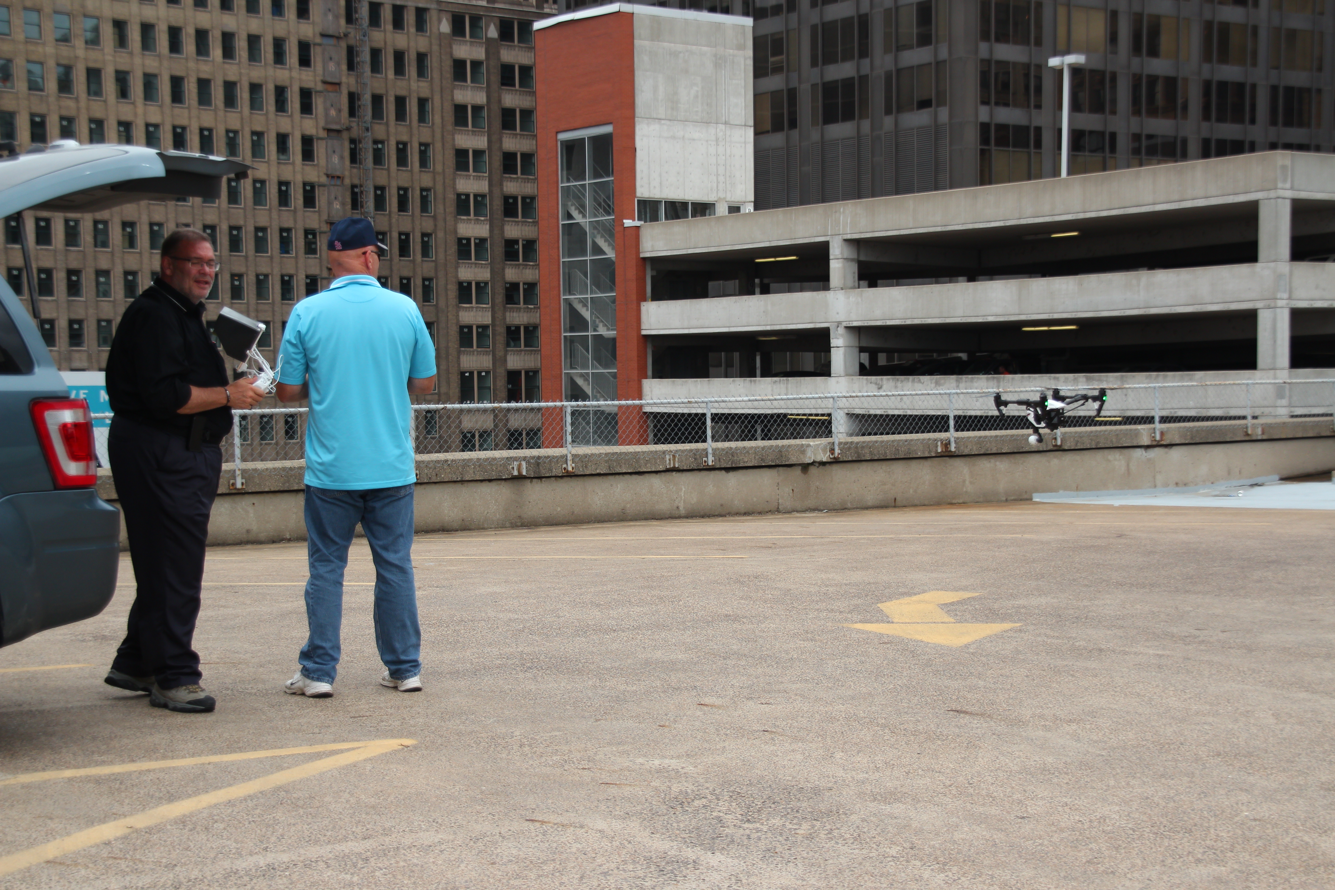
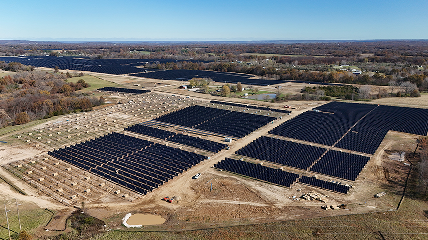
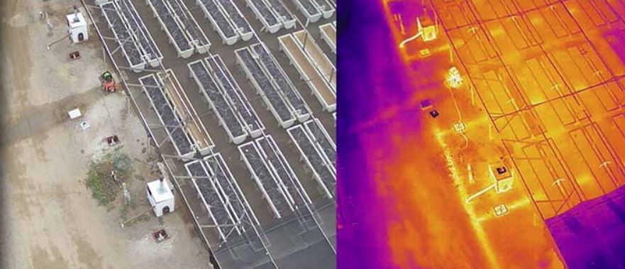
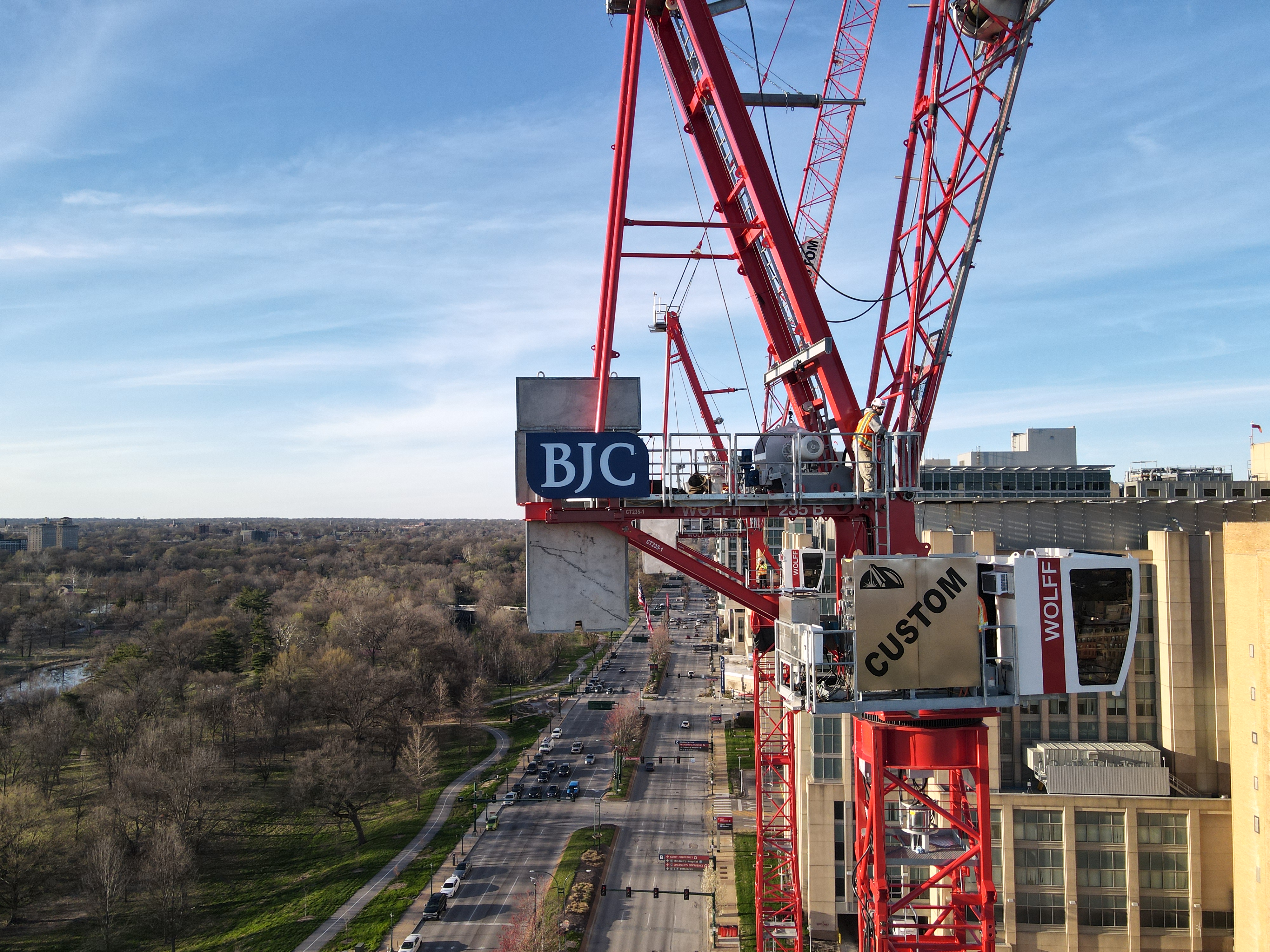
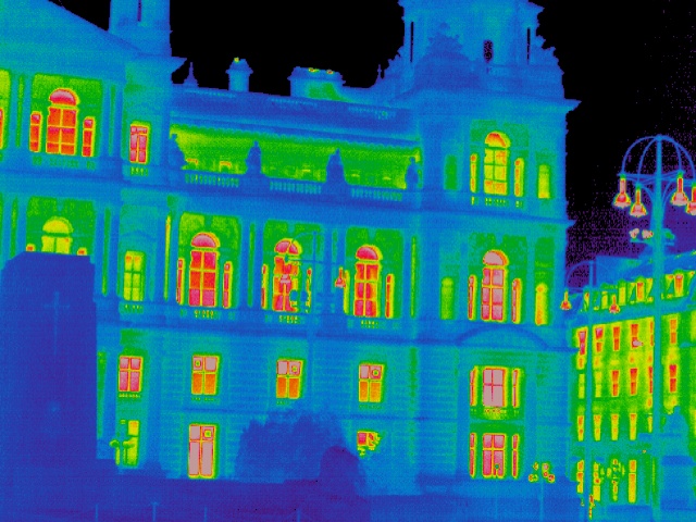
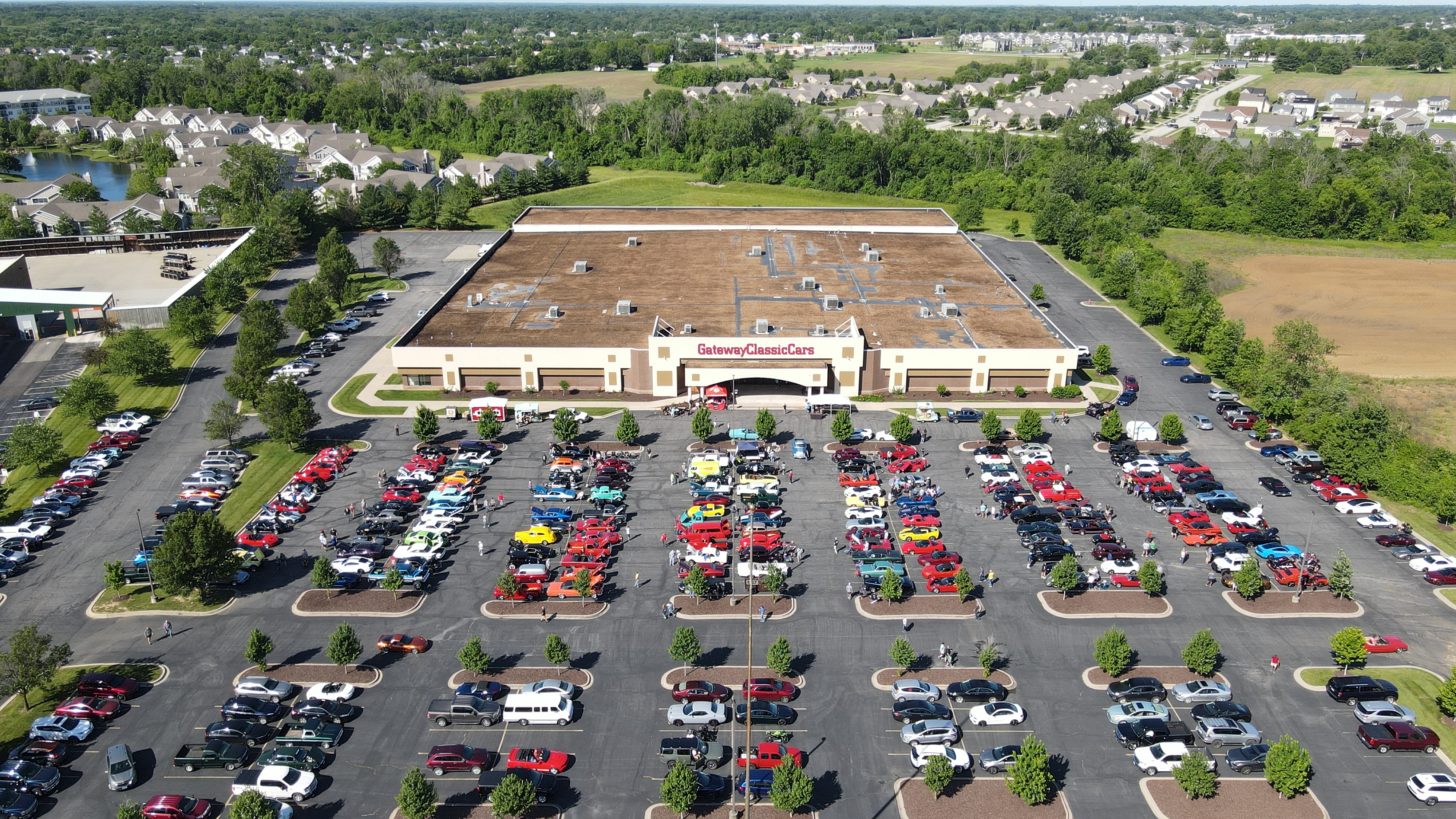
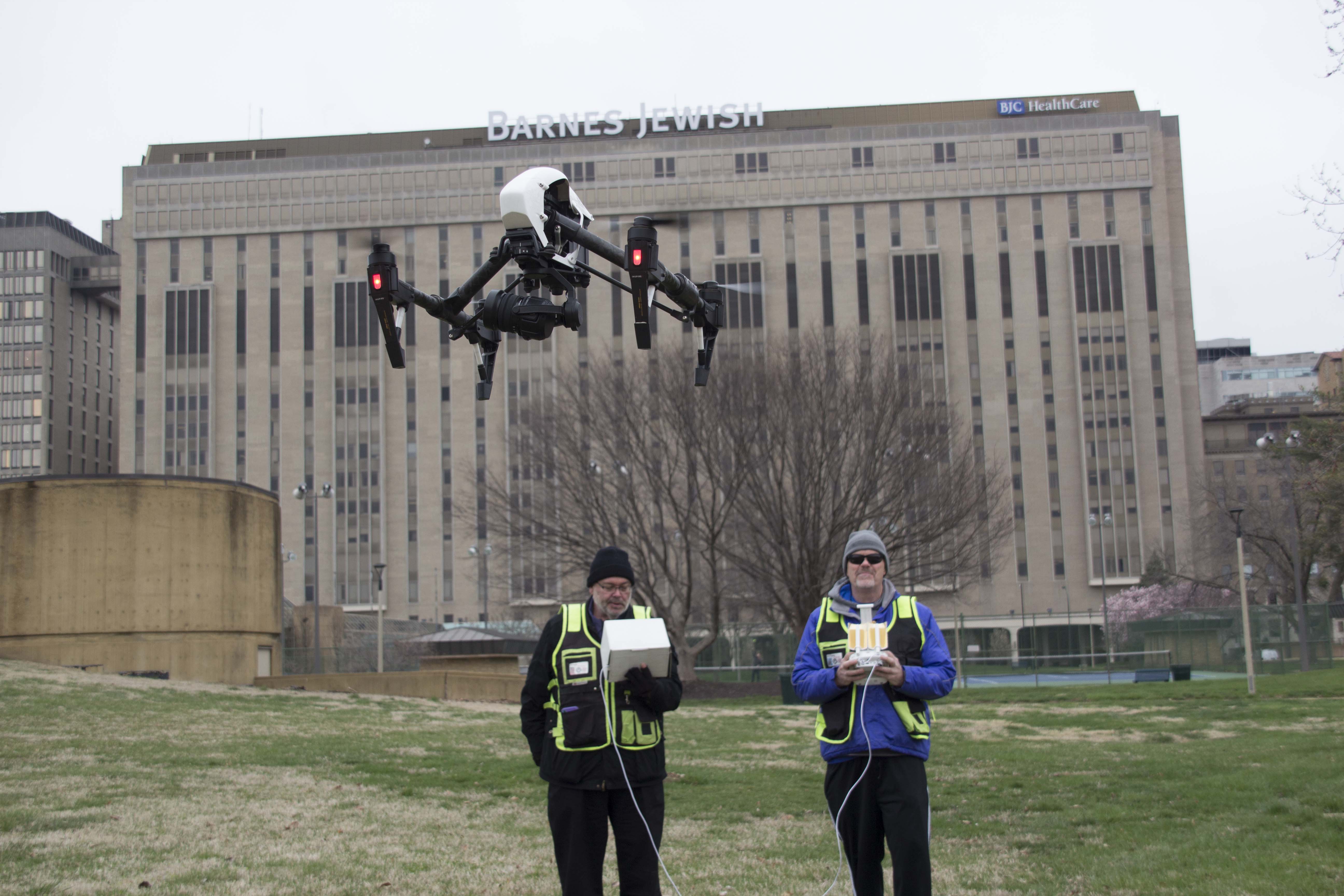
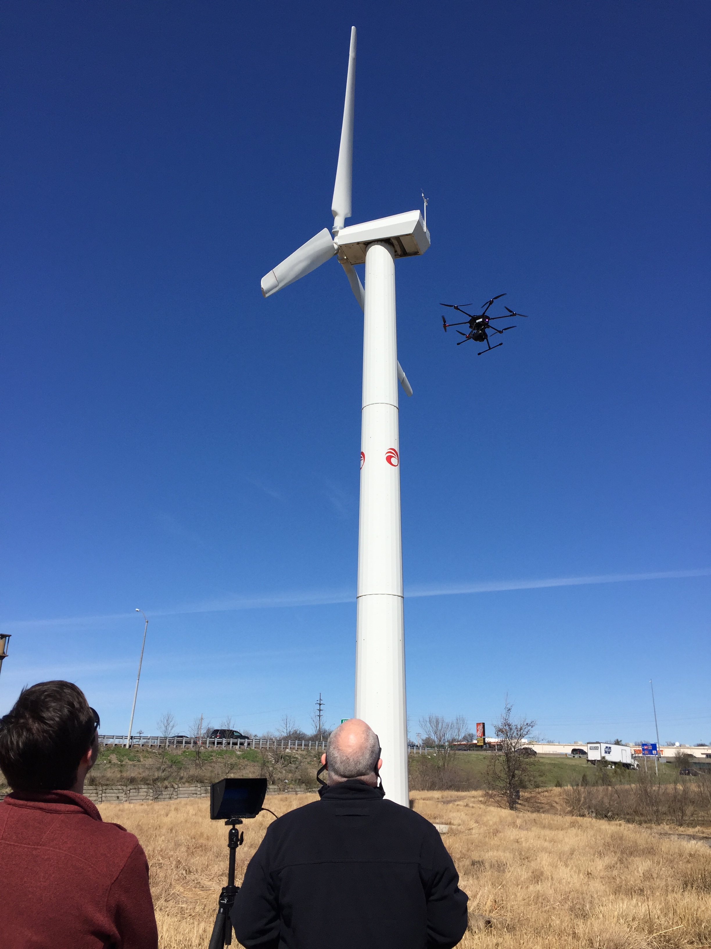
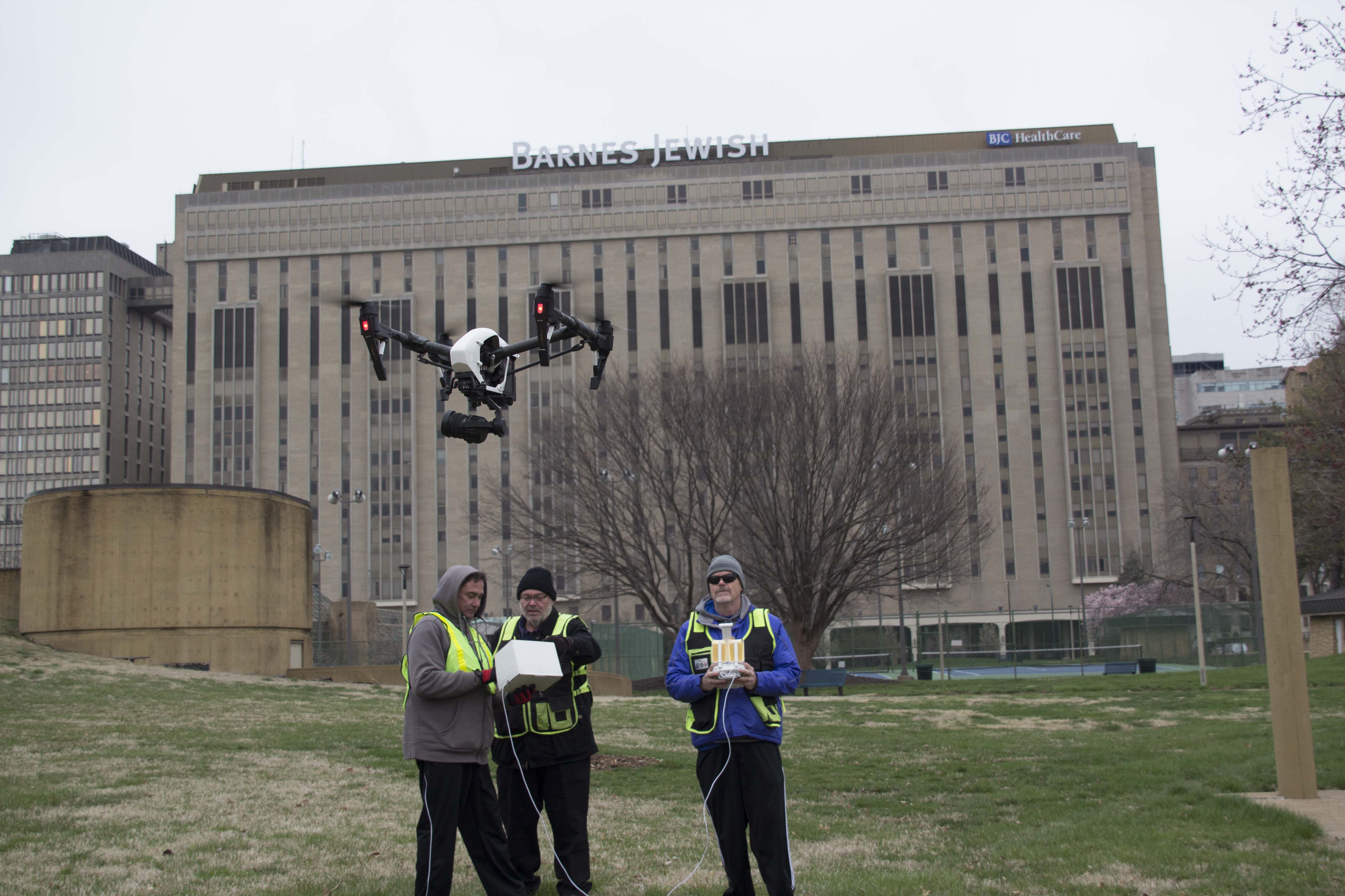
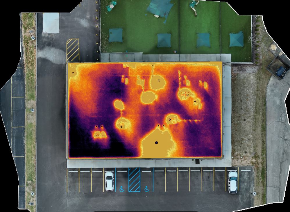
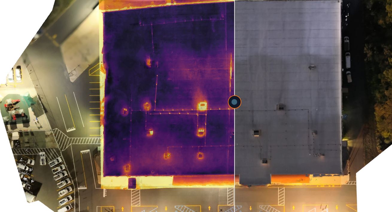
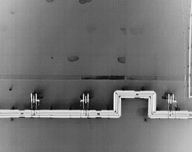
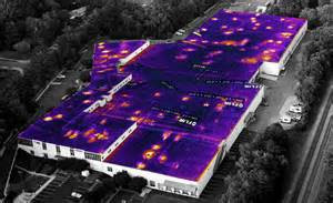
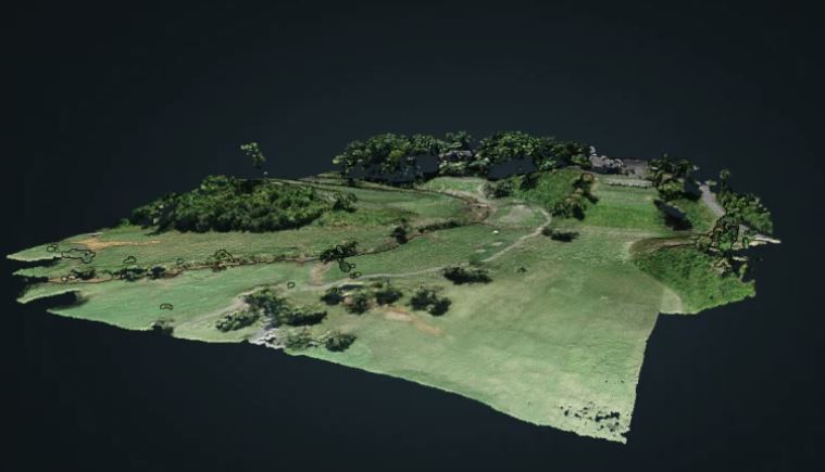
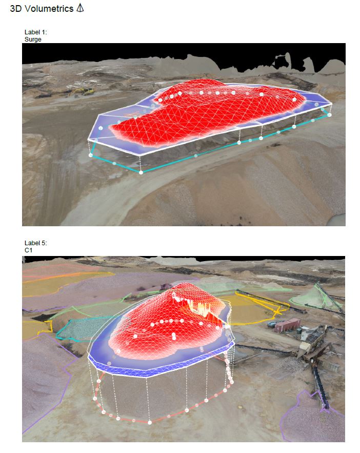
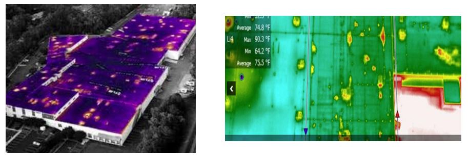
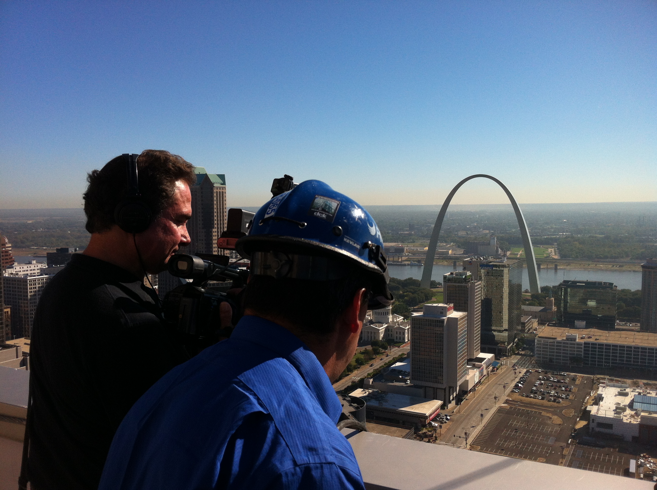
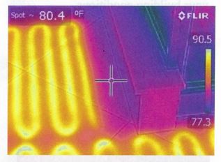
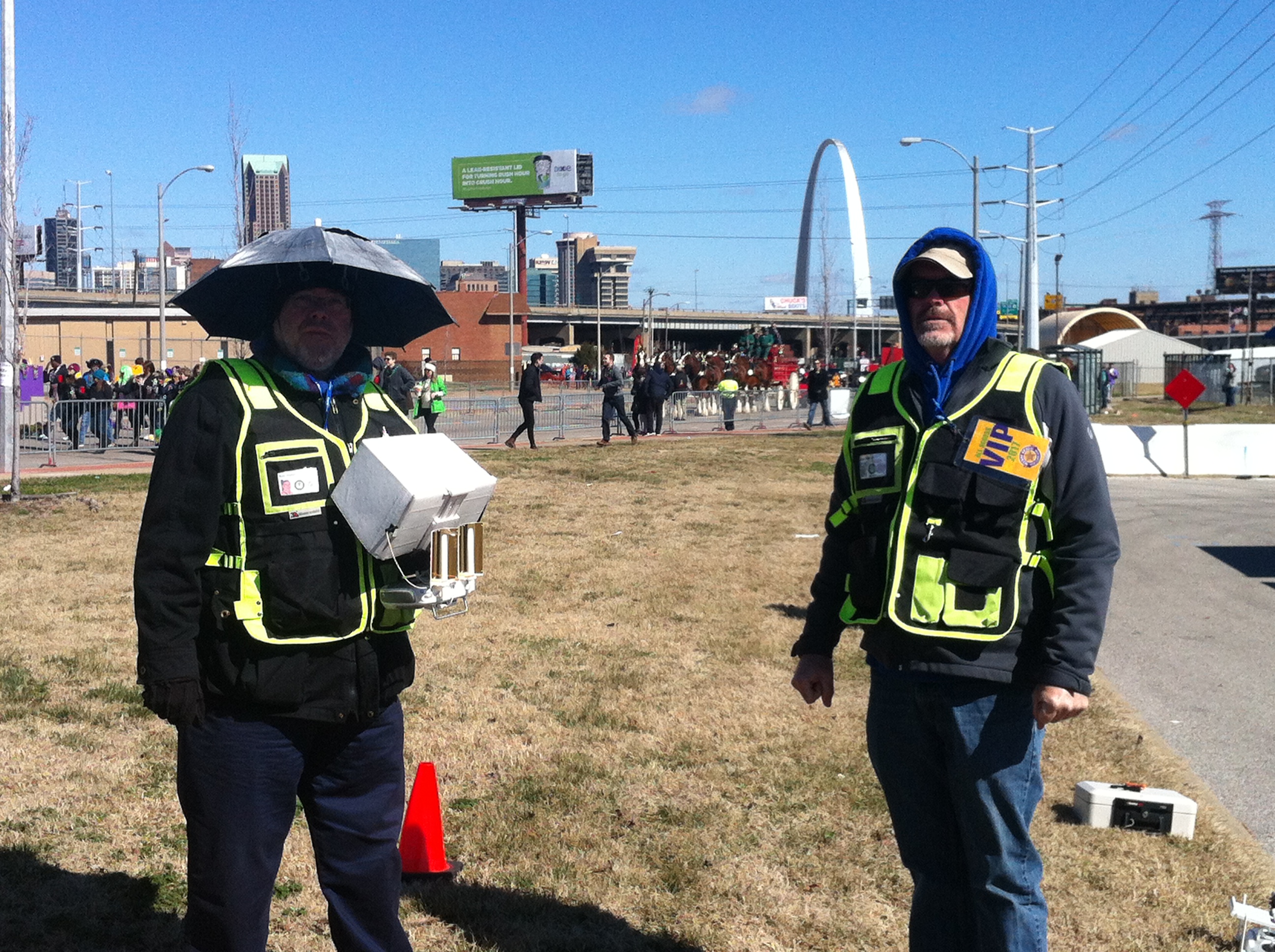
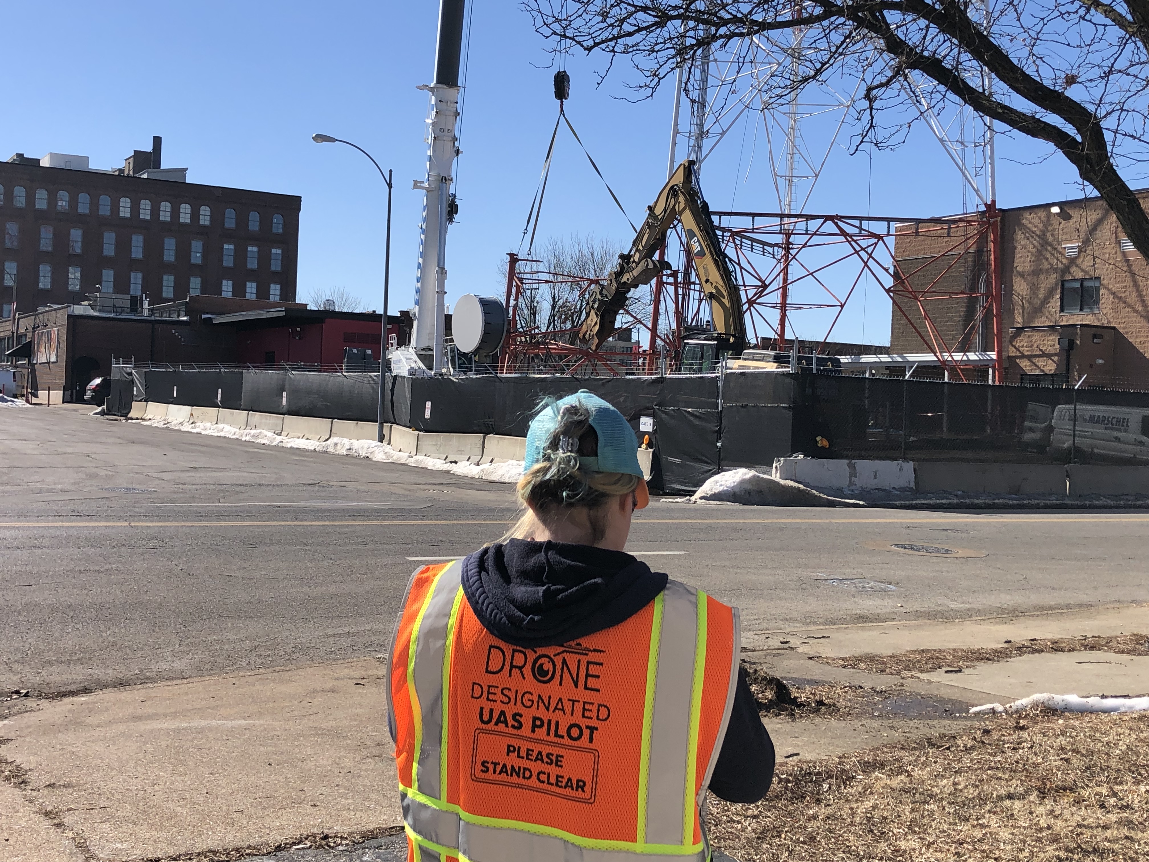
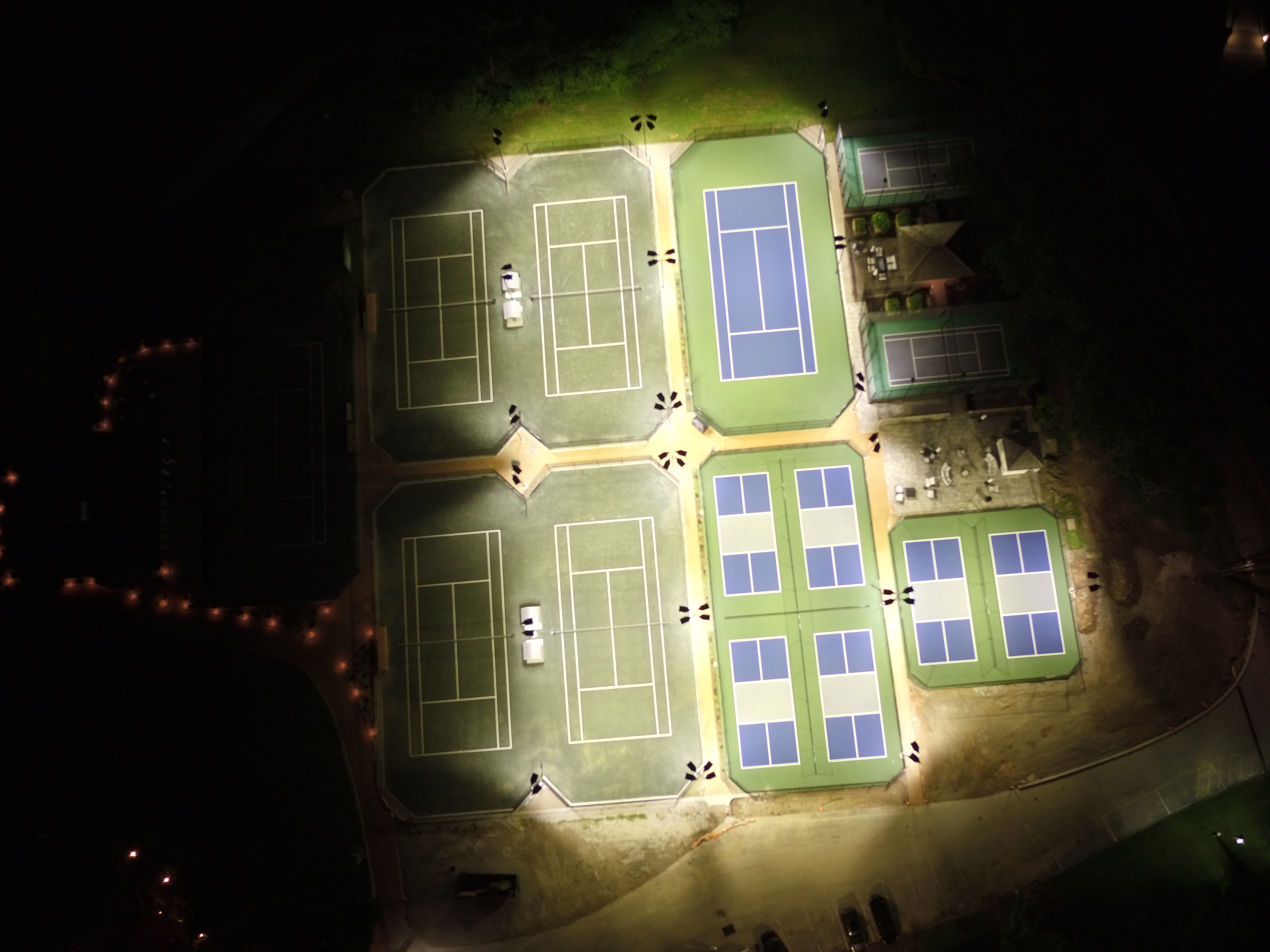
- Specialized Drone Services: As licensed drone operators, we can fly specialized FPV drones indoors to capture breathtaking facility fly-throughs. Our advanced aerial capabilities also include infrared thermal imaging, orthomosaics, and LiDAR for broader institutional operations.
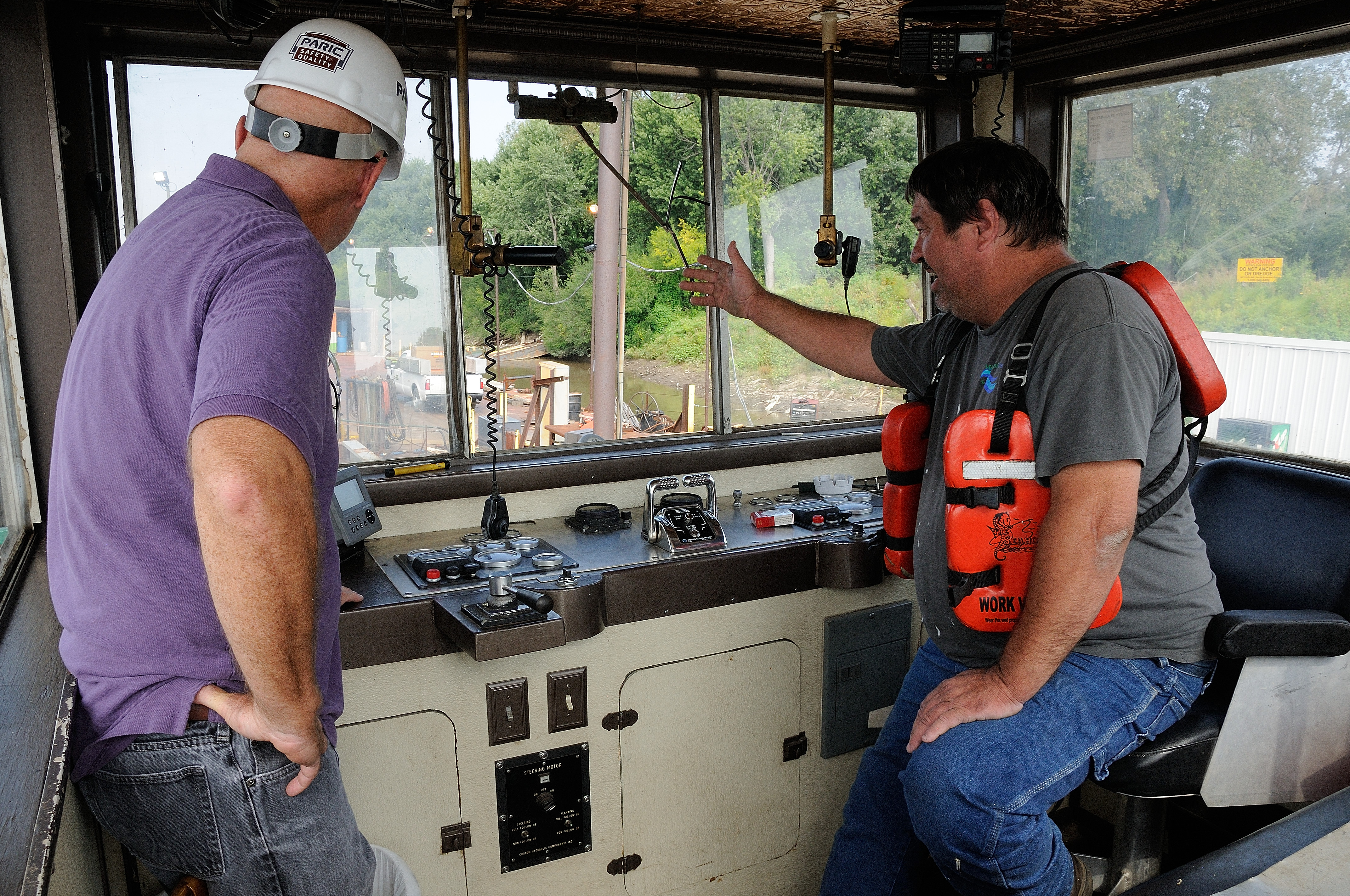
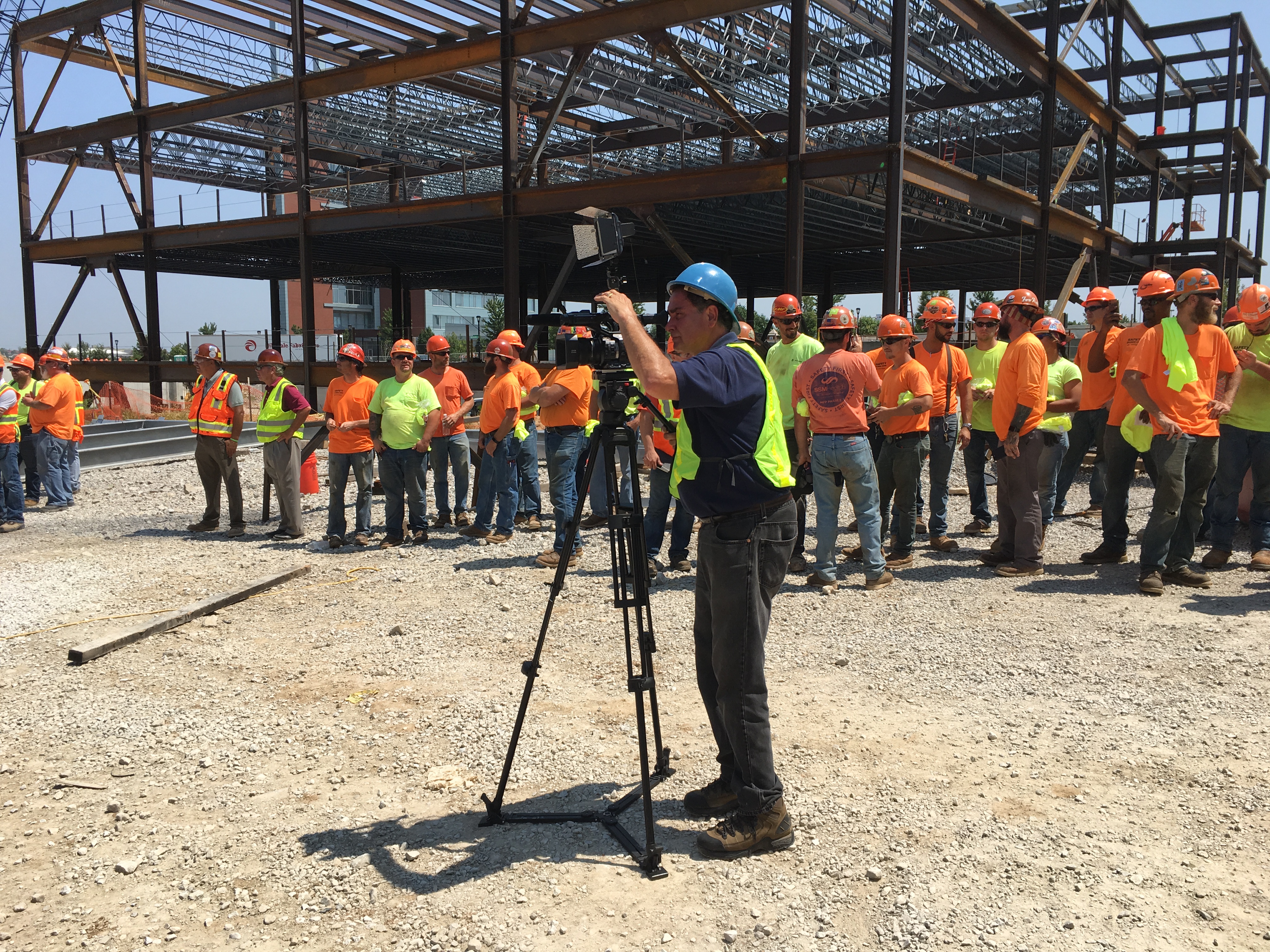
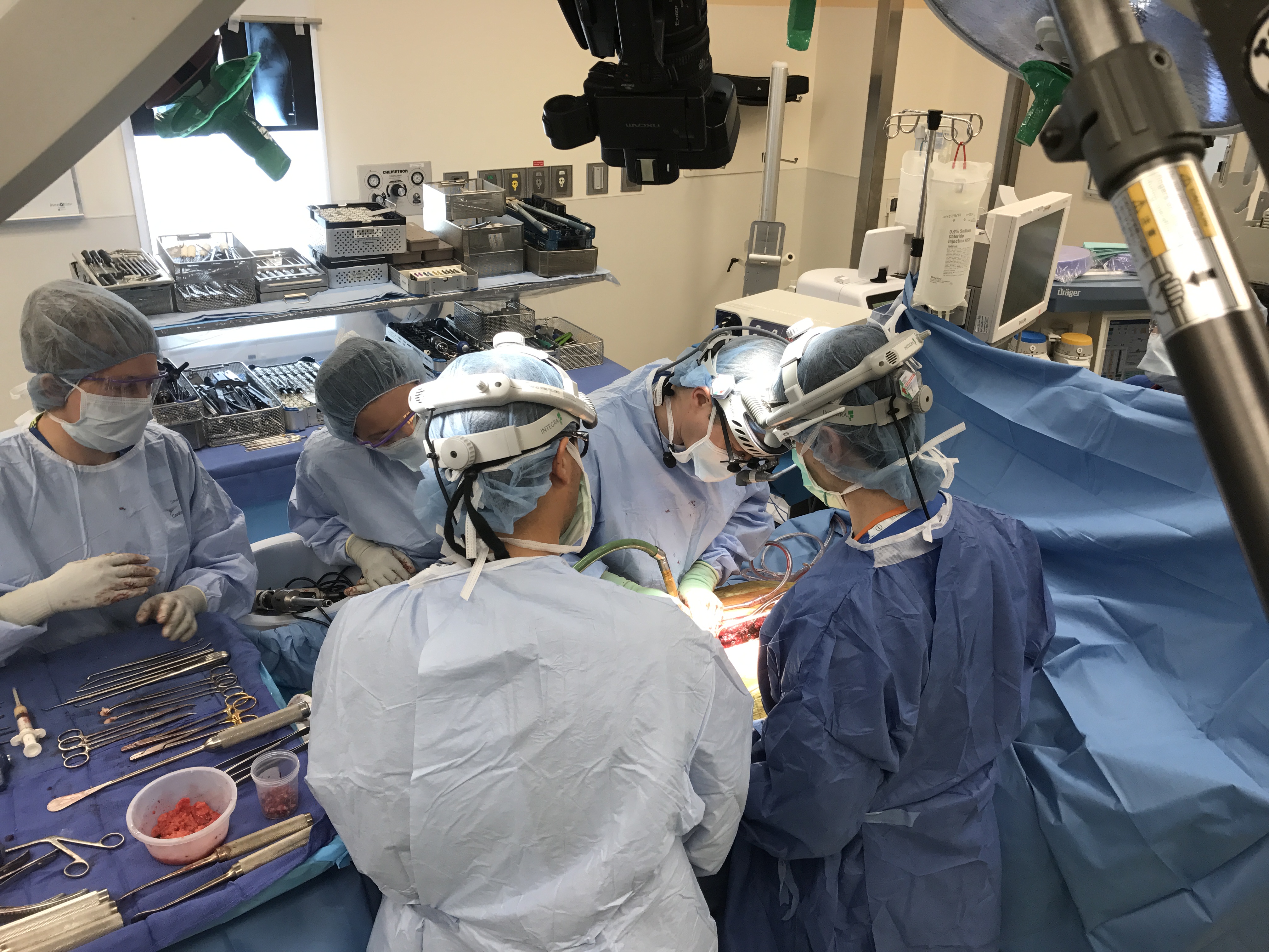
- Location and B-Roll Specialists: Whether you need on-site location scouting or a dedicated team to capture dynamic b-roll of your medical facilities, we customize your productions to meet your exact institutional needs. Repurposing your photography and video branding to gain more traction is one of our distinct specialties.


Let us help you maximize your marketing and recruitment budget. Contact St Louis Photo Studio today to customize a cost-efficient photo and video package tailored to your organization’s precise needs.
314-913-5626
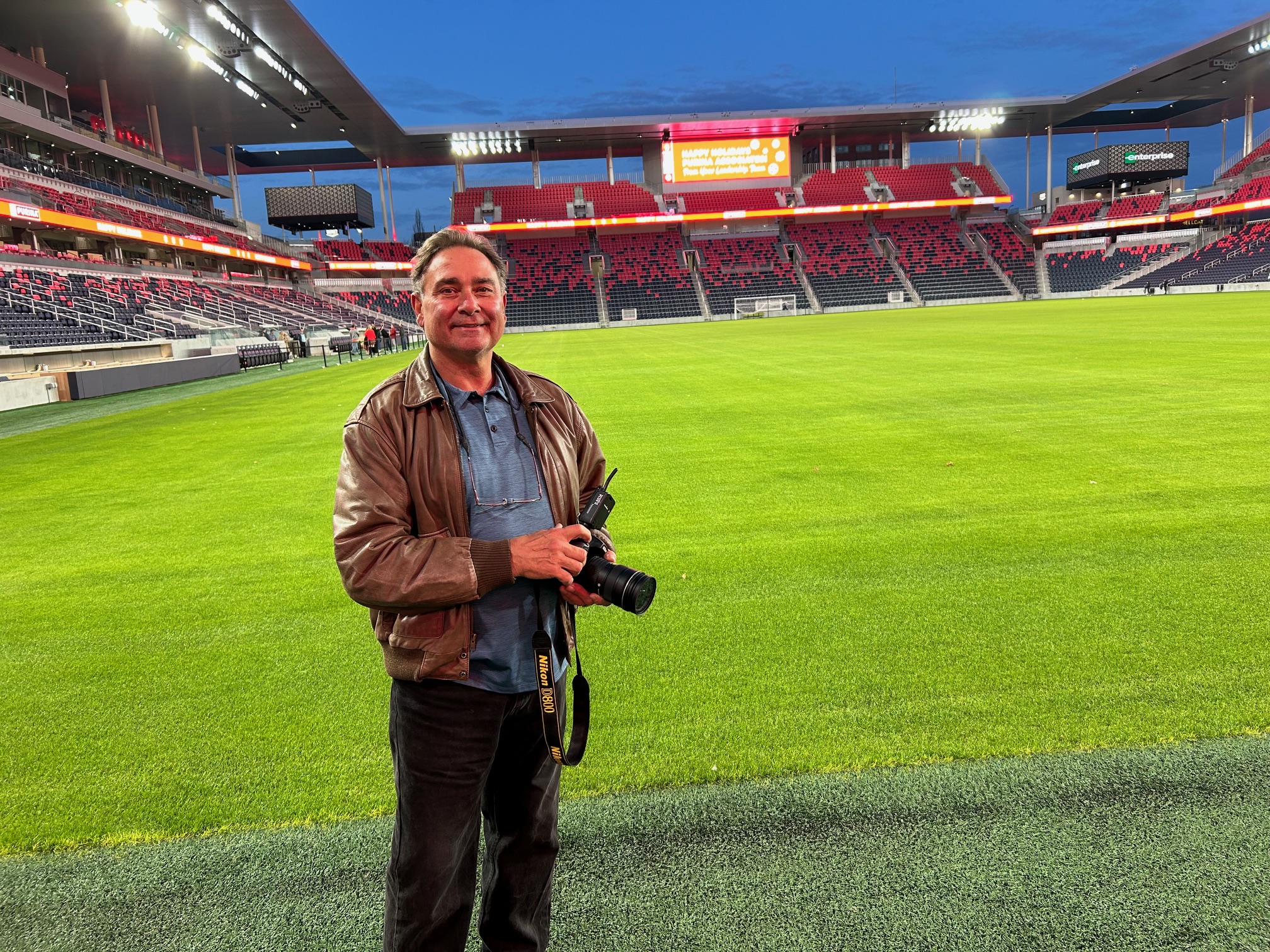
Mike Haller
stlouisphotostudio@gmail.com
Studio by Appointment: 4501 Mattis Road St Louis, MO 63128